Browse / Poland / West Pomerania / Goleniów
Goleniów
West Pomeraniatown

Goleniów
Total population
22,166
Demographic figures from Statistics Poland (GUS). Overview below cites Wikipedia and may reference a different year.
City facts
Overview
Goleniów is a town in Pomerania, northwestern Poland, with 21,876 inhabitants as of 2021. It is the capital of Goleniów County in West Pomeranian Voivodeship. It is situated in the centre of Goleniowska Forest on Goleniów Plain, near main roads numbers 3 and 6.
Read more on WikipediaHistory & geography
History
The settlement dates back to the 10th century. Pomerania became part of the emerging Polish state under its first ruler Mieszko I around 967. As a result of the 12th-century fragmentation of Poland it became part of the separate Duchy of Pomerania, ruled by the House of Griffin. Barnim I, Duke of Pomerania granted the settlement Magdeburg town rights and additional privileges in 1264, yet Goleniów was rechartered with Lübeck Law, which favoured the local merchants, in 1314. The town grew by exploiting the vast timber reserves in the town-owned forests, and by trade. Gollnow was part of the Prussian province of Pomerania from 1815 to 1945. With the unification of Germany in 1871, it became part of the German Reich. In 1919, the German administration operated a camp in the town, in which they imprisoned Poles arrested in Szubin during the Greater Poland uprising. During World War II, the Nazis operated two forced labour subcamps of the Stalag II-D prisoner-of-war camp and a prison in the town, with multiple forced labour subcamps located in the region. Polish forced labourers were imprisoned in the town. On 7 March 1945, the town was captured by the Red Army. After Nazi Germany's defeat in World War II, the area became once again part of Poland, although with a Soviet-installed communist regime, which stayed in power until the Fall of Communism in the 1980s. The town's German population was expelled in accordance with the Potsdam Agreement. In 1954, town limits were expanded by including Helenów as Goleniów's new district. From 1975 to 1998, it was administratively located in the Szczecin Voivodeship.
Excerpted from the corresponding Wikipedia article (CC BY-SA).
Geography
Coordinates & boundaries from the US Census TIGER/Line shapefiles.
Climate
Air quality
Walkability
Amenities nearby
Wildlife & biodiversity
Earthquake history
Photos
Sights & places nearby
Notable people from here
Geography & sun
Elevation, sunrise/sunset and daylight from Open-Meteo. Solar climatology from NASA POWER.
Nearby airports
Public attention
Pageview totals from the Wikimedia Pageviews API.
Books about this place
Recent natural events nearby
Ground air-quality sensors
Recently spotted species
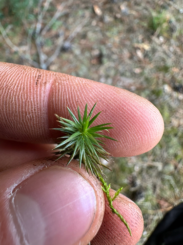
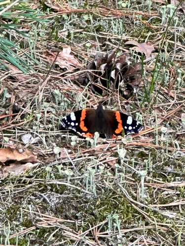
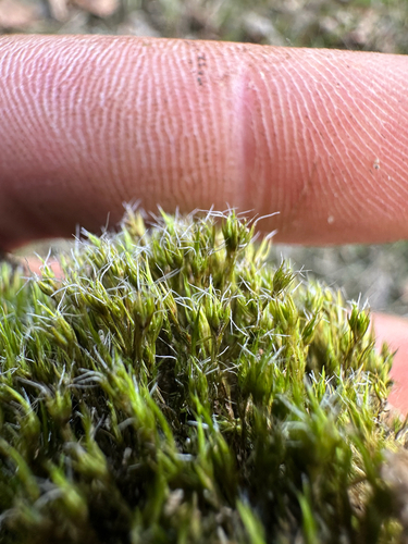
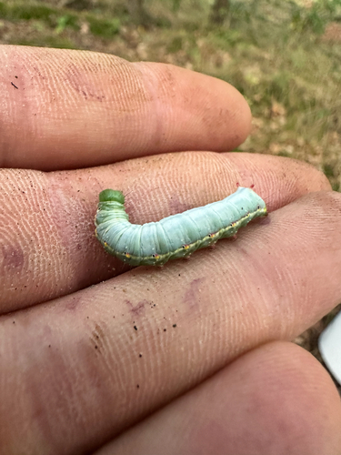
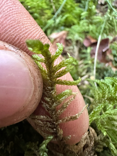
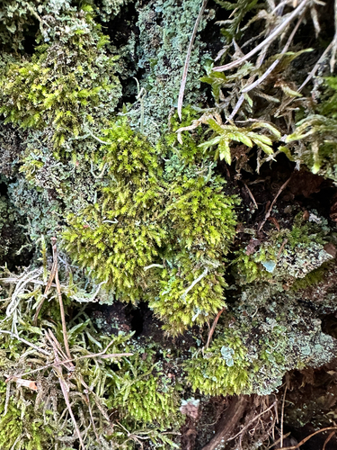
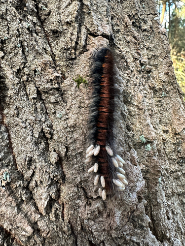
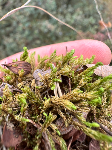
Research-grade observations from iNaturalist (within ~15 mi).
Events
Gallery
Official Identifiers
GUS — Statistics Poland
- SIMC code
- 0978929
- Population (Wikidata)
- 22,166
- Wikidata
- Q329597
SIMC place ID via Wikidata P4046
Sources
- • Wikipedia
- • iNaturalist
- • Open-Meteo / sunrise-sunset.org
- • Wikipedia Pageviews API
- • GUS — Statistics Poland — SIMC place ID via Wikidata P4046