Browse / Poland / West Pomerania / Gryfino
Gryfino
West Pomeraniatown

Gryfino
Total population
20,297
Demographic figures from Statistics Poland (GUS). Overview below cites Wikipedia and may reference a different year.
City facts
Overview
Gryfino is a town in Pomerania, northwestern Poland, with 21,393 inhabitants (2017). It is the capital of Gryfino County in West Pomeranian Voivodeship.
Read more on WikipediaHistory & geography
History
The territory became part of the emerging Polish state under Mieszko I around 967. Following the fragmentation of Poland into smaller duchies it formed part of the Duchy of Pomerania. There are archaeological traces of Slavic settlement dating back to the 12th century. In 1281 the town was exempted from customs duties and declared a free port. In 1306 Duke Otto I allowed the town to build a bridge and a dam over the Oder and collect customs duties on it like Stettin (Szczecin). In 1709 Polish King Stanisław Leszczyński stopped in the town. In 1723, French Huguenots settled in Greifenhagen. In the final months of World War II, in March 1945, it was captured by Soviet and Polish forces. During the conquest the town center was heavily destroyed. Afterwards, the region became again part of Poland, although with a Soviet-installed communist regime, which stayed in power until the Fall of Communism in the 1980s. The remaining German population was expelled in accordance with the Potsdam Agreement and gradually replaced by Polish settlers. Despite the existence of the old Polish name Gryfów, the town was first renamed to Gryfin, and in 1946 to Gryfino by replacing the German suffix -hagen by the Polish suffix -ino. A local unit of the Freedom and Independence Association Polish anti-communist resistance organization operated in Gryfino, before it was crushed by the communists in May 1946. After the war, the town's life was reestablished, in 1945 the first schools began teaching, in 1946 the Gryf cinema was opened, and in 1947 the municipal library was opened. In 1974 the first unit of Dolna Odra Power Station, a large coal-fired power station, went in service.
Excerpted from the corresponding Wikipedia article (CC BY-SA).
Geography
Coordinates & boundaries from the US Census TIGER/Line shapefiles.
Climate
Air quality
Walkability
Amenities nearby
Wildlife & biodiversity
Earthquake history
Photos
Sights & places nearby
Notable people from here
Nearby places in West Pomerania
- Kołbaskowo6.1 mi away · pop. 410
- Babin10 mi away
- Ostoja10.6 mi away
- Czarna Łąka17 mi away · pop. 350
- Rurzyca19.7 mi away · pop. 500
- Rurka20.6 mi away · pop. 22
- Piasek22.4 mi away
- Bącznik23.2 mi away · pop. 13
- Żdżary26 mi away · pop. 120
- Babin26.3 mi away
- Widzieńsko30.4 mi away · pop. 160
- Kopice30.8 mi away · pop. 135
Geography & sun
Elevation, sunrise/sunset and daylight from Open-Meteo. Solar climatology from NASA POWER.
Nearby airports
Public attention
Pageview totals from the Wikimedia Pageviews API.
Books about this place
Recent natural events nearby
Ground air-quality sensors
Recently spotted species
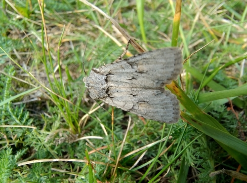


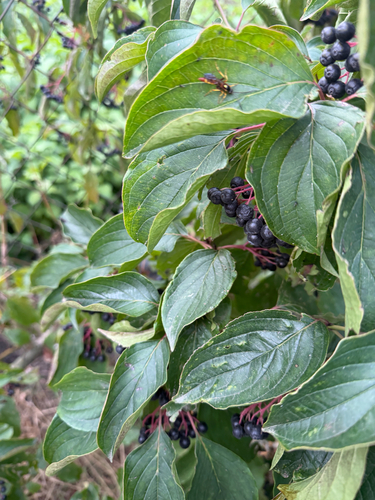
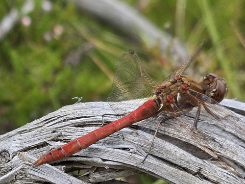
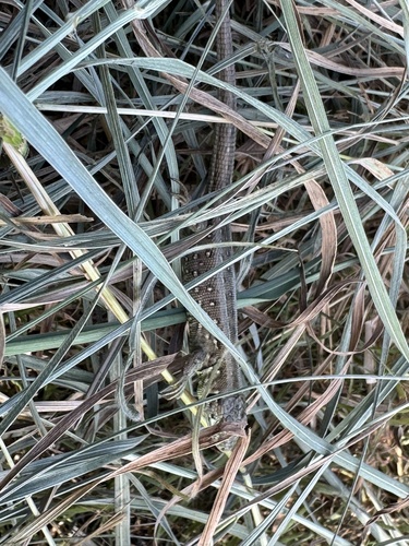
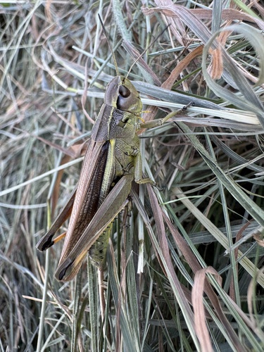
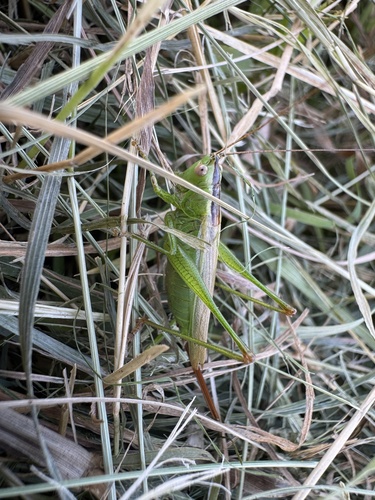
Research-grade observations from iNaturalist (within ~15 mi).
Events
Gallery
Official Identifiers
GUS — Statistics Poland
- SIMC code
- 0979076
- Population (Wikidata)
- 20,297
- Wikidata
- Q186441
SIMC place ID via Wikidata P4046
Sources
- • Wikipedia
- • iNaturalist
- • Open-Meteo / sunrise-sunset.org
- • Wikipedia Pageviews API
- • GUS — Statistics Poland — SIMC place ID via Wikidata P4046