Browse / Poland / Lubusz / Iłowa
Iłowa
Lubusztown

Iłowa
Total population
3,725
Demographic figures from Statistics Poland (GUS). Overview below cites Wikipedia and may reference a different year.
City facts
Facts from Wikidata (CC0).
Overview
Iłowa is a town in Żagań County, in Lubusz Voivodeship, in western Poland, the administrative seat of the Gmina Iłowa.
Read more on WikipediaHistory & geography
History
The settlement arose in the 10th century, at the crossroad of the trade routes from Görlitz to Żagań and from Gubin to Legnica. The medieval chronicler Thietmar of Merseburg (975–1018) mentioned a castle of Ilva, where in 1000 AD the Polish duke Bolesław I Chrobry met with Emperor Otto III on his journey from the canonization of Bishop Adalbert of Prague to the Congress of Gniezno. As a result of the fragmentation of Poland, from the 12th century onwards, the border fortress was controlled by the Piast dukes of Silesia. Iłowa's inhabitants took part in the 1241 Battle of Legnica against the invading Mongols. Iłowa itself is first documented in a 1356 deed by the Bohemian king and Emperor Charles IV, when he granted the fief of das halbe Dorf an der Czirne (i.e. half the village on the Czerna River, later called Halbau) at the border with the Silesian Duchy of Żagań to the Kotowice noble family. Mining and smelting of bog iron in the area is documented since the 15th century. The Kotowice family had a castle built here, that later became a notorious robber baron stronghold and was later destroyed by armed forces of the Lusatian League at the behest of the Görlitz citizens in 1440. The Kotowice dynasty sold the estates of Halbau together with neighbouring Konin to the Upper Lusatian state country of Königsbrück in 1567. According to an annex to the 1635 Peace of Prague, Iłowa together with Upper Lusatia passed from the Lands of the Bohemian Crown to the Wettin elector John George I of Saxony. Under the rule of his successor Elector John George II, a Protestant church was built and the settlement received town privileges in 1679. From 1682 it was incorporated as a southern exclave into the Lower Lusatian lordship of Żary held by the Promnitz noble family. Between 1697…
Geography
It lies in the easternmost part of the historic Upper Lusatia region, at the border with Lower Silesia. The settlement is located on the Czerna Mała river, a tributary to the Bóbr, in the Silesian-Lusatian Lowlands. It is situated on the rim of the Lower Silesian Wilderness and just south of the A18 autostrada.
Excerpted from the corresponding Wikipedia article (CC BY-SA).
Geography
Coordinates & boundaries from the US Census TIGER/Line shapefiles.
Climate
Air quality
Walkability
Amenities nearby
Wildlife & biodiversity
Earthquake history
Photos
Sights & places nearby
Notable people from here
Nearby places in Lubusz
Geography & sun
Elevation, sunrise/sunset and daylight from Open-Meteo. Solar climatology from NASA POWER.
Nearby airports
Public attention
Pageview totals from the Wikimedia Pageviews API.
Books about this place
Recent natural events nearby
Ground air-quality sensors
Recently spotted species
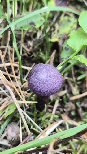
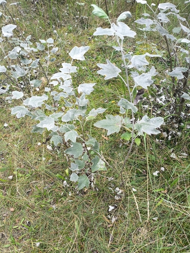
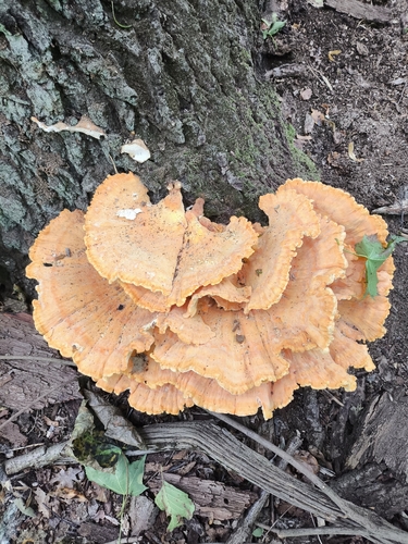
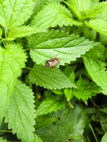
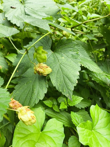
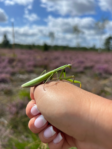
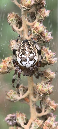
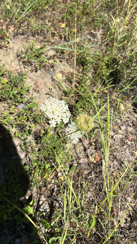
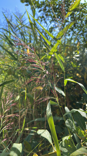
Research-grade observations from iNaturalist (within ~15 mi).
Events
Gallery
Sources
- • Wikipedia
- • Wikidata
- • iNaturalist
- • Open-Meteo / sunrise-sunset.org
- • Wikipedia Pageviews API