Browse / Poland / Warmia-Masuria / Iłowo-Osada
Iłowo-Osada
Warmia-Masuriavillage

Iłowo-Osada
Total population
4,670
Demographic figures from Statistics Poland (GUS). Overview below cites Wikipedia and may reference a different year.
City facts
Facts from Wikidata (CC0).
Overview
Iłowo-Osada pronounced [iˈwɔvɔ - ɔˈsada] is a village in Działdowo County, Warmian-Masurian Voivodeship, in northern Poland. It is the seat of the gmina called Gmina Iłowo-Osada. It is located in the historic region of Masuria.
Read more on WikipediaHistory & geography
History
Since 1260, the local area was ruled by the Teutonic Order, later Prussia and the German Empire. As the area bordered Masovia, it received a large influx of Polish people, later called Masurians. Based on historical and cartographical records, Iłowo-Osada itself was founded as a railway town in the 19th century, due to the Iłowo station founded on the Warsaw-Gdańsk railway (also serving as a German border station) as opposed to the near Iłowo-Wieś which existed for a longer period of time as a natural village. Over time, Iłowo-Osada grew larger, with Iłowo being split in twain due to the two different settlements. In the late 19th century, the village had an almost entirely Polish population of 416. Following the invasion of Poland by Nazi Germany, Iłowo became the location of one of three sub-camps of the Soldau concentration camp in nearby Działdowo. The Iłowo transit camp existed in 1941–45. Prisoners were held at a brick building (pictured) and the adjacent barracks. Up to 2,000 Polish children 5-years-old and younger were among the prisoners as well as pregnant women-inmates awaiting birth (see also Kidnapping of children by Nazi Germany). The men, including Poles and the Soviets (following Operation Barbarossa), were kept there usually for several days only. Many children belonged to slave labourers already deported to the Third Reich. The children underwent selection for Germanization before being sent to German families. Among those who were not selected death rate was very high. There were no medicines in the camp and no doctors. The food and water were rationed. After giving birth women prisoners were sent back to work camps. In 1940 and 1942, the German gendarmerie and police also carried out expulsions of local Poles, whose houses and workshops were…
Excerpted from the corresponding Wikipedia article (CC BY-SA).
Geography
Coordinates & boundaries from the US Census TIGER/Line shapefiles.
Climate
Air quality
Walkability
Amenities nearby
Wildlife & biodiversity
Earthquake history
Events from the USGS Earthquake Catalog (global) (FDSN Event Web Service).
Photos
Sights & places nearby
Notable people from here


People born within ~10 km, from Wikidata (CC0). Click any name for their Wikipedia article.
Nearby places in Warmia-Masuria
Geography & sun
Elevation, sunrise/sunset and daylight from Open-Meteo. Solar climatology from NASA POWER.
Nearby airports
Public attention
Pageview totals from the Wikimedia Pageviews API.
Books about this place
Recent natural events nearby
Ground air-quality sensors
Recently spotted species
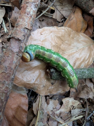
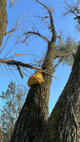
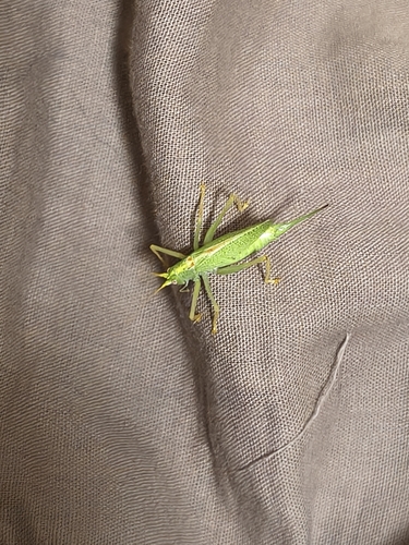
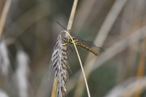
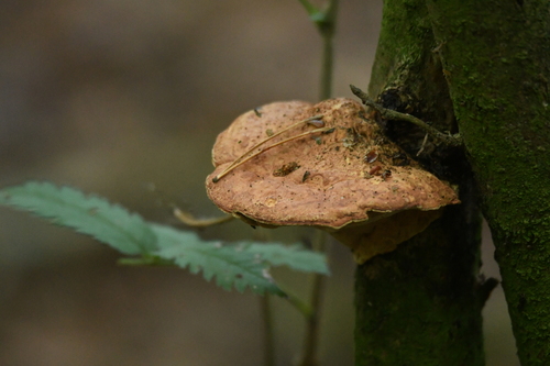
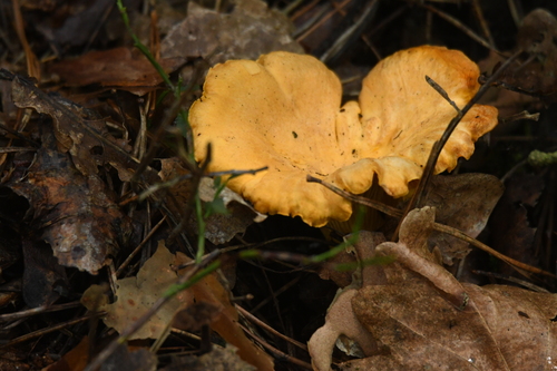
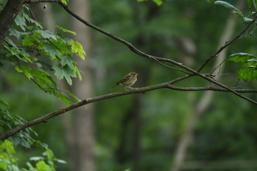
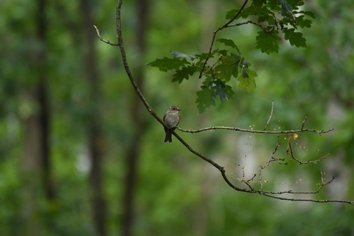
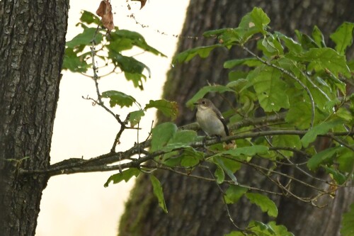
Research-grade observations from iNaturalist (within ~15 mi).
Events
Gallery
Geotagged photos within ~6 miles of Iłowo-Osada, from Wikimedia Commons contributors.
_-_panoramio.jpg) 0.2 mi
0.2 mi.jpg) 1.2 mi
1.2 mi 1.4 mi
 1.4 mi
.jpg) 1.4 mi
1.4 mi.jpg) 1.4 mi
1.4 mi.jpg) 1.4 mi
1.4 mi 1.4 mi
.jpg) 1.4 mi
1.4 mi 1.8 mi
 2 mi
2 mi 2 mi
2 mi 2 mi
2 mi 2 mi
2 mi 2.1 mi
 2.1 mi
 2.1 mi
 2.2 mi
 2.4 mi
.jpg) 2.5 mi
2.5 mi 2.5 mi
 2.7 mi
 2.9 mi
 2.9 mi
Photos via Wikimedia Commons — see each image page for license & attribution.
Official Identifiers
GUS — Statistics Poland
- SIMC code
- 0116435
- Wikidata
- Q683153
SIMC place ID via Wikidata P4046
Sources
- • Wikipedia
- • Wikimedia Commons
- • Wikidata
- • USGS Earthquake Catalog (global feed)
- • iNaturalist
- • Open-Meteo / sunrise-sunset.org
- • Wikipedia Pageviews API
- • GUS — Statistics Poland — SIMC place ID via Wikidata P4046