Browse / Poland / Silesia / Jaworzno
Jaworzno
Silesiacity

Jaworzno
Total population
88,998
Founded
1229
Demographic figures from Statistics Poland (GUS). Overview below cites Wikipedia and may reference a different year.
City facts
Sister cities
Facts from Wikidata (CC0).
Overview
Jaworzno is a city county in southern Poland in the Silesian Voivodeship, near Katowice. It lies in the Silesian Highlands, on the Przemsza river. Jaworzno belongs to Lesser Poland and, despite belonging to the Silesian Voivodeship since 1999, Jaworzno is not part of Silesia. Jaworzno is one of the cities of the 2.7 million conurbation – Katowice urban area and within a more significant Katowice-Ostrava metropolitan area populated by about 5,294,000 people. The population of the city is 89,350 (2021).
Read more on WikipediaHistory & geography
History
In the Middle Ages, a gord was established on the Grodzisko hill, traces of which can still be found. The first known mention of Jaworzno comes from 1229, and in 1335, a parish church of St. Wojciech existed here. Jaworzno remained a small village, located in western Lesser Poland, near the much larger and more important town of Chrzanów. From 1179, the nearby Przemsza river marked the border between Lesser Poland and Silesia. It also became a state border of Poland until 1922. The area of Jaworzno was originally under the rule of the bishops of Kraków. After Austria seized Silesia at the end of the 17th century, several coal mines were developed near Jaworzno. In the 18th century, silver, lead, iron, and zinc deposits were found here. In 1767, the first coal mine in the Polish–Lithuanian Commonwealth was opened in Szczakowa. After the Partitions of Poland, Jaworzno belonged to the Habsburg Empire, in 1809 – 1815 it was part of the Duchy of Warsaw, and in 1815–1846, it belonged to the Free City of Krakow, which in 1846 was annexed by the Austrian Empire; Jaworzno remained in Austrian Galicia until November 1918. In the 19th century, the village became famous for the so-called Three Emperors' Corner, where the borders of three powers met (German Empire, Russian Empire, and Austria-Hungary). In 1847, a new railway line connected Jaworzno's Szczakowa district with Kraków and Prussian Upper Silesia. From 1854 until 1867 it was the center of a district () (within until 1865); in 1867 it became part of (, ). The village became a center of industrialization. A power plant was opened in 1898, and Jaworzno's coal mines extracted 84% of Galician coal. Several new factories were established here in the late 19th and early 20th centuries. As a result, on September 21, 1901,…
Geography
The municipality is situated a short distance to the north-east of Junction 41 on the A4 Highway. It lies in the Silesian Highlands, in the historical region of Lesser Poland, and since its foundation until 1975, it was administratively tied with Lesser Poland's capital, Kraków. Until 1795, it belonged to Kraków Voivodeship, then, together with Kraków, was seized by the Habsburg Empire in the Partitions of Poland. In 1815–1846, it belonged to the Free City of Kraków, which was annexed by Austria and merged with Kingdom of Galicia and Lodomeria. In 1918, Jaworzno returned to Poland. The name of the city comes from the jawor trees (sycamore maple), which in the past were abundant in this area. Jaworzno was placed into the Silesian Voivodeship (province) effective January 1, 1999, under the Local Government Reorganization Act. Previously, it was attached to the Katowice Voivodeship (1975–1998) and before that to the Kraków Voivodeship. Jaworzno lies in the east of the largest metropolis in Poland and one of the largest in the European Union, numbering about 3,5 million. This urban expansion bloomed in the 19th century thanks to the rapid development of the mining and metallurgical industries. In 2006, Jaworzno and 14 neighboring cities formed a multimunicipal structure, the Upper Silesian Metropolitan Union. Its population was 2 million and its area was . In 2016 Jaworzno left the Union, and in 2017 refused to join the Metropolis GZM (which eventually superseded the Union), mainly due to concerns about public transport quality. The climate of the area is continental and humid. The annual average temperature is (January average and July average °C). Yearly rainfall averages at , the rainiest month being July. The area's characteristic weak winds blow at about…
Excerpted from the corresponding Wikipedia article (CC BY-SA).
Geography
Coordinates & boundaries from the US Census TIGER/Line shapefiles.
Climate
Air quality
Walkability
Amenities nearby
Wildlife & biodiversity
Most-observed species
- Great TitParus major Linnaeus, 1758 · Aves2,866
- Eurasian MagpiePica pica (Linnaeus, 1758) · Aves2,552
- Eurasian BlackbirdTurdus merula Linnaeus, 1758 · Aves2,432
- Eurasian Blue TitCyanistes caeruleus (Linnaeus, 1758) · Aves2,222
- Rock PigeonColumba livia J.F.Gmelin, 1789 · Aves1,927
- Eurasian Collared-DoveStreptopelia decaocto (Frivaldszky, 1838) · Aves1,820
- Eurasian JayGarrulus glandarius (Linnaeus, 1758) · Aves1,692
- Western JackdawColoeus monedula (Linnaeus, 1758) · Aves1,641
Citizen-science & research observations from the Global Biodiversity Information Facility (GBIF).
Earthquake history
Most recent
- M 2.6 — 2026-04-091 km WNW of Radlin, Poland
- M 2.9 — 2025-04-294 km WSW of Bytom, Poland
- M 3.2 — 2025-01-271 km NE of Radlin, Poland
- M 2.9 — 2024-07-114 km N of Jejkowice, Poland
- M 3 — 2023-10-042 km W of Murcki, Poland
- M 2.8 — 2023-01-122 km ENE of Karviná, Czechia
Events from the USGS Earthquake Catalog (global) (FDSN Event Web Service).
Photos
Sights & places nearby
Notable people from here


People born within ~10 km, from Wikidata (CC0). Click any name for their Wikipedia article.
Nearby places in Silesia
- Chełm Mały7.3 mi away
- Preczów12.2 mi away · pop. 798
- Kuźnica Podleśna13.8 mi away
- Malinowice13.9 mi away · pop. 807
- Trzebyczka14 mi away · pop. 73
- Świerczyniec14 mi away · pop. 973
- Psary14.1 mi away · pop. 2,717
- Niegowoniczki14.2 mi away · pop. 548
- Dąbie Chrobakowe14.2 mi away
- Nowe Bojszowy14.3 mi away · pop. 1,192
- Wojkowice Kościelne14.7 mi away · pop. 1,251
- Wiesiółka15.2 mi away · pop. 293
Geography & sun
Elevation, sunrise/sunset and daylight from Open-Meteo. Solar climatology from NASA POWER.
Nearby airports
Public attention
Pageview totals from the Wikimedia Pageviews API.
Books about Jaworzno


Search results from Open Library.
Recent natural events nearby
Ground air-quality sensors
Recently spotted species
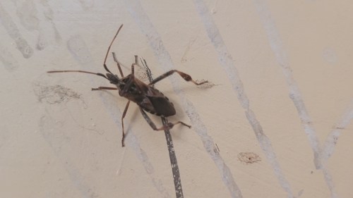
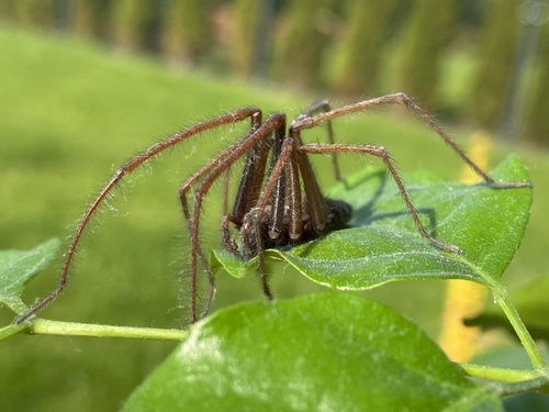
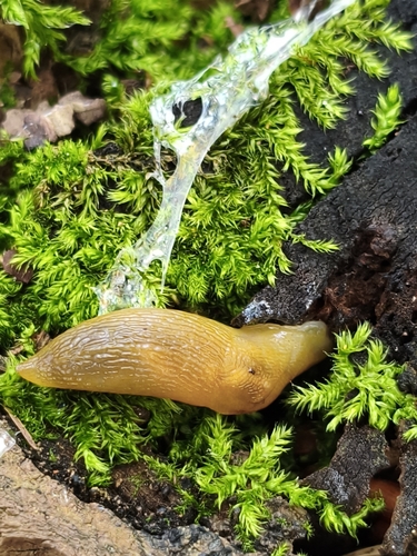
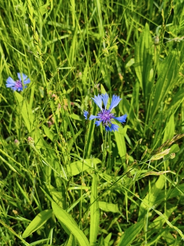
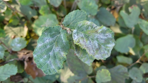
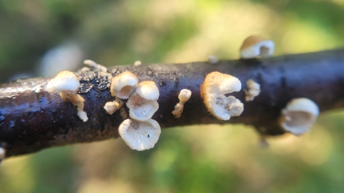
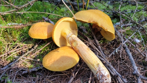
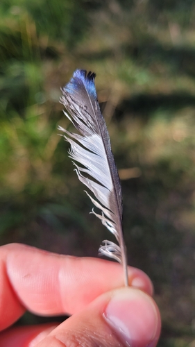
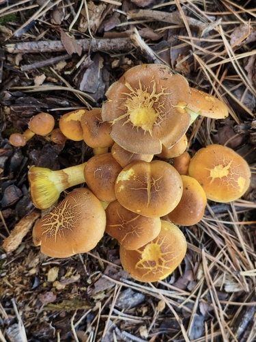
Research-grade observations from iNaturalist (within ~15 mi).
Events
Gallery
Sources
- • Wikipedia
- • Wikidata
- • USGS Earthquake Catalog (global feed)
- • GBIF (Global Biodiversity Information Facility)
- • iNaturalist
- • Open-Meteo / sunrise-sunset.org
- • Wikipedia Pageviews API
- • Open Library