Browse / Poland / Silesia / Katowice
Katowice
Silesiacity

Katowice
Total population
280,190
Founded
1598
Demographic figures from Statistics Poland (GUS). Overview below cites Wikipedia and may reference a different year.
City facts
Sister cities
Facts from Wikidata (CC0).
Overview
Katowice is the capital city of the Silesian Voivodeship in southern Poland and the central city of the Katowice urban area. As of 2021, Katowice has an official population of 286,960, and a resident population estimate of around 315,000. The Katowice metropolitan area has a population of 2.5 million, and is part of a larger Katowice–Ostrava metropolitan area that extends into the Czech Republic and has a population of around 5 million people.
Read more on WikipediaHistory & geography
History
The area around Katowice, in Upper Silesia, has been inhabited by Lechitic Silesian tribes from its earliest documented history. While the name Katowice (Katowicze) is mentioned for the first time in 1598, other villages and settlements that would eventually become parts of modern Katowice have been established earlier, with Dąb being the oldest, mentioned in 1299 for the first time in a document issued by Duke Casimir of Bytom. Bogucice, Ligota, Szopenice and Podlesie were all established in early 14th century. Aside from farming, people living in the area would also work in hammer mills: the first one, Kuźnica Bogucka, is mentioned in 1397. The area which would become Katowice was initially ruled by the Polish Silesian Piast dynasty until its extinction. From 1327, the region was under administration of the Kingdom of Bohemia under the Holy Roman Empire. As part of the Bohemian Crown, it was passed to the Habsburg monarchy of Austria in 1526. In 1742, along with most of Silesia, it was seized by Prussia following the First Silesian War. The two subsequent Silesian Wars left the area severely depopulated and with an economy in ruins. In 1838, Franz von Winckler bought Katowice from Karl Friedrich Lehmann and in 1841, he made it the headquarters of his estate. On 3 October 1846, the works of the final stage of the Breslau-Myslowitz (Wrocław-Mysłowice) rail line ended, built and operated by the Upper Silesian Railway. It was opened by king Frederick William IV of Prussia. A year later, on 6 August 1847, the first train arrived at the new Katowice station. The railway connection with major European cities (Katowice gained connections to Berlin, Kraków, Vienna and Warsaw, among others, between 1847 and 1848) fostered economic and population growth. The population grew…
Geography
Katowice encompasses an area of . The city is situated in the Silesian Highlands, about north of the Silesian Beskids (part of the Carpathian Mountains). Kłodnica and Rawa (tributaries of the Oder and the Vistula respectively) are the largest rivers in Katowice, and the border between catchment areas of Oder and Vistula goes through the city. With a minimal elevation of and median elevation of above sea level, Katowice has the highest elevation among large cities in Poland. Katowice has a temperate, ocean-moderated humid continental climate (Köppen climate classification: Dfb/Cfb). The average temperature is 8.2 °Celsius ( in January and up to in July). Yearly rainfall averages at . Characteristic weak winds blow at about from the southwest, through the Moravian Gate. Katowice has 22 officially recognized neighborhoods. Śródmieście, Osiedle Paderewskiego-Muchowiec, Zawodzie and Koszutka form the dense central urban core where most cultural and educational institutions, businesses and administrative buildings are located. Most Northern and Eastern neighborhoods around the downtown core are more working-class and developed from worker's estates build around large industry such as coal mines, manufactures and steelworks. Each of these neighborhoods has its own dense commercial strip surrounded by mid-rise apartment buildings and some single-family homes. Szopienice, located between downtown Katowice and Mysłowice, used to be a separate town until mid-1960s. Nikiszowiec, a former mine's town, has undergone strong gentrification in recent years, and emerged as a major tourist attraction in the region thanks to its unique architecture and art galleries. Western and Southern neighborhoods (with the exception of Brynów-Załęska Hałda, which is a working-class…
Excerpted from the corresponding Wikipedia article (CC BY-SA).
Geography
Coordinates & boundaries from the US Census TIGER/Line shapefiles.
Climate
Air quality
Walkability
Amenities nearby
Wildlife & biodiversity
Most-observed species
- Eurasian MagpiePica pica (Linnaeus, 1758) · Aves4,368
- Great TitParus major Linnaeus, 1758 · Aves4,345
- Rock PigeonColumba livia J.F.Gmelin, 1789 · Aves3,566
- Eurasian Blue TitCyanistes caeruleus (Linnaeus, 1758) · Aves3,421
- Eurasian BlackbirdTurdus merula Linnaeus, 1758 · Aves3,395
- Eurasian Collared-DoveStreptopelia decaocto (Frivaldszky, 1838) · Aves2,901
- Western JackdawColoeus monedula (Linnaeus, 1758) · Aves2,873
- Eurasian JayGarrulus glandarius (Linnaeus, 1758) · Aves2,547
Citizen-science & research observations from the Global Biodiversity Information Facility (GBIF).
Earthquake history
Most recent
- M 2.6 — 2026-04-091 km WNW of Radlin, Poland
- M 2.9 — 2025-04-294 km WSW of Bytom, Poland
- M 3.2 — 2025-01-271 km NE of Radlin, Poland
- M 2.9 — 2024-07-114 km N of Jejkowice, Poland
- M 3 — 2023-10-042 km W of Murcki, Poland
- M 2.8 — 2023-01-122 km ENE of Karviná, Czechia
Events from the USGS Earthquake Catalog (global) (FDSN Event Web Service).
Photos
Sights & places nearby
Notable people from here


People born within ~10 km, from Wikidata (CC0). Click any name for their Wikipedia article.
Nearby places in Silesia
- Bobrowniki8.4 mi away
- Psary9.1 mi away · pop. 2,717
- Dobieszowice9.3 mi away · pop. 1,891
- Malinowice10.1 mi away · pop. 807
- Góra Siewierska10.2 mi away · pop. 845
- Preczów10.2 mi away · pop. 798
- Paniówki10.8 mi away · pop. 2,297
- Brzękowice Górne11.1 mi away · pop. 214
- Dąbie Chrobakowe11.1 mi away
- Dąbie11.3 mi away · pop. 850
- Goląsza Górna11.6 mi away · pop. 204
- Dąbie Górne11.8 mi away
Geography & sun
Elevation, sunrise/sunset and daylight from Open-Meteo. Solar climatology from NASA POWER.
Nearby airports
Public attention
Pageview totals from the Wikimedia Pageviews API.
Books about Katowice
Search results from Open Library.
Recent natural events nearby
Ground air-quality sensors
Recently spotted species
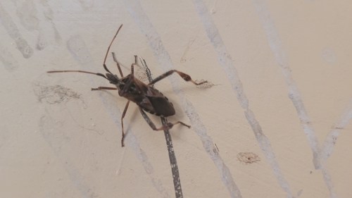
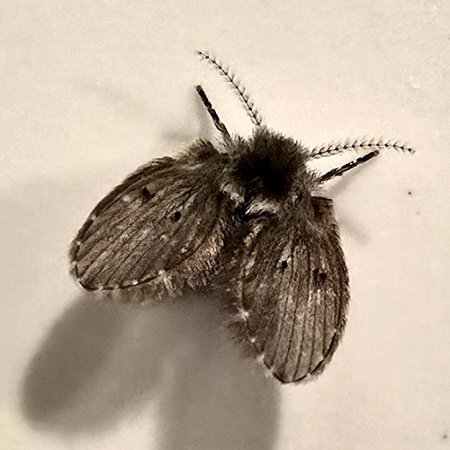
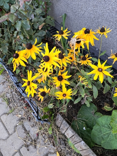
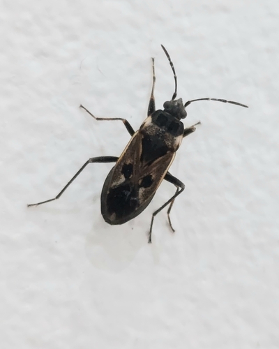
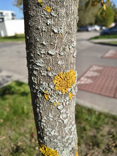
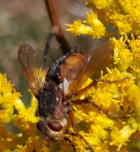
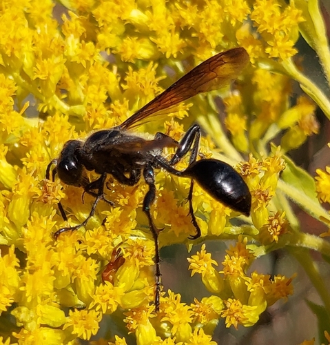
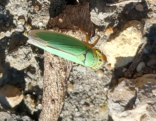
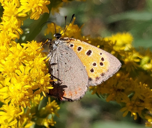
Research-grade observations from iNaturalist (within ~15 mi).
Events
Notable, recurring, and historical events associated with Katowice, sourced from Wikidata.
- Jan 23, 2016
- 1997 Men's World Ice Hockey Championships Group BApr 12, 1997planned event
1997 edition of the Men's World Ice Hockey Championships B Group
- Jan 1, 1975
- Q30916342festival
- Bachaturoannual event
international dance festival dedicated to bachata, salsa, kizomba and urbankiz held annually in Katowice, Poland
Source: Wikidata (CC0).
Gallery
Official Identifiers
GUS — Statistics Poland
- SIMC code
- 0937474
- Population (Wikidata)
- 278,090
- Wikidata
- Q588
SIMC place ID via Wikidata P4046
Sources
- • Wikipedia
- • Wikidata
- • USGS Earthquake Catalog (global feed)
- • GBIF (Global Biodiversity Information Facility)
- • iNaturalist
- • Open-Meteo / sunrise-sunset.org
- • Wikipedia Pageviews API
- • Open Library
- • GUS — Statistics Poland — SIMC place ID via Wikidata P4046