Browse / Poland / Opole / Kluczbork
Kluczbork
Opoletown

Kluczbork
Total population
22,703
Founded
1253
Demographic figures from Statistics Poland (GUS). Overview below cites Wikipedia and may reference a different year.
City facts
Sister cities
Facts from Wikidata (CC0).
Overview
Kluczbork is a town in southern Poland with 23,554 inhabitants as of 2019, situated in the Opole Voivodeship. It is the capital of Kluczbork County and an important railroad junction, where the major rail line from Katowice splits into two directions – westwards to Wrocław and northwards to Poznań. It is also connected with Fosowskie.
Read more on WikipediaHistory & geography
History
Archaeologists have determined that a settlement existed at the location of present-day Kluczbork by 1000–800 BCE. The Germanic Sciri and Bastarnae settled in the vicinity, and were followed c. 100 BCE by Celts and various Germanic tribes, including Silingi and Vandals. The latter left Silesia c. 400 and West Slavs came to the region in the 7th century (see Silesians). In the late 10th century the Silesian territory was included in the emerging Polish state by its first historic ruler Mieszko I. In the 13th century the Knights of the Cross with the Red Star acquired territory in Silesia, including the villages of Młodoszów, Kuniów, and Chocianowice. The Knights built a settlement on 2 November 1252 . Named Cruceburg (later spelled Creutzburg, Creuzburg, Kreuzburg), it received Magdeburg rights on 26 February 1253, now accepted as the official date of the town's foundation. The Knights adjudicated in the town until 1274, when it started to be administered by a vogt of local Silesian dukes and juries were introduced. As a result of the dynastic fragmentation of Poland, Kluczbork was part of various Polish duchies ruled by the Piast dynasty: Duchy of Silesia until 1293, Duchy of Głogów until 1312, Duchy of Oleśnica until 1323 and Duchy of Legnica until 1341, when it came under direct rule of the King of Poland, Casimir III the Great. In 1356 it passed to the Czech Crown, The population grew to 8,750 by 1895 and 10,236 by 1900. Following the Treaty of Versailles after World War I, Kreuzburg was involved in the Upper Silesian referendum in 1921. 95.6% (37,957 votes out of 39,703 participants) voted to remain within Weimar Germany instead of joining the Second Polish Republic. It became part of the Province of Upper Silesia; to differentiate between other places named…
Excerpted from the corresponding Wikipedia article (CC BY-SA).
Geography
Coordinates & boundaries from the US Census TIGER/Line shapefiles.
Climate
Air quality
Walkability
Amenities nearby
Wildlife & biodiversity
Earthquake history
Photos
Sights & places nearby
Notable people from here


People born within ~10 km, from Wikidata (CC0). Click any name for their Wikipedia article.
Geography & sun
Elevation, sunrise/sunset and daylight from Open-Meteo. Solar climatology from NASA POWER.
Nearby airports
Public attention
Pageview totals from the Wikimedia Pageviews API.
Books about Kluczbork
Search results from Open Library.
Recent natural events nearby
Ground air-quality sensors
Recently spotted species

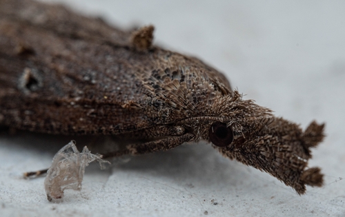




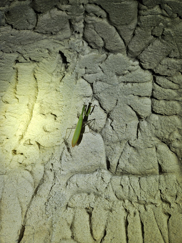
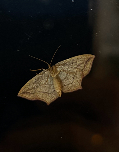

Research-grade observations from iNaturalist (within ~15 mi).
Events
Gallery
Official Identifiers
GUS — Statistics Poland
- SIMC code
- 0965619
- Population (Wikidata)
- 22,703
- Wikidata
- Q79322
SIMC place ID via Wikidata P4046
Sources
- • Wikipedia
- • Wikidata
- • iNaturalist
- • Open-Meteo / sunrise-sunset.org
- • Wikipedia Pageviews API
- • Open Library
- • GUS — Statistics Poland — SIMC place ID via Wikidata P4046