Browse / Poland / West Pomerania / Koszalin
Koszalin
West Pomeraniacity

Koszalin
Total population
105,143
Founded
1266
Demographic figures from Statistics Poland (GUS). Overview below cites Wikipedia and may reference a different year.
City facts
Facts from Wikidata (CC0).
Overview
Koszalin is a city in northwestern Poland, in West Pomerania. It is located 12 kilometres south of the Baltic Sea coast, and intersected by the river Dzierżęcinka. Koszalin is also a county-status city and capital of Koszalin County of West Pomeranian Voivodeship.
Read more on WikipediaHistory & geography
History
Human settlement in Koszalin dates back to prehistoric times. Various traces of human settlement of the Funnelbeaker, Globular Amphora and Lusatian cultures and from ancient Roman times and Early Middle Ages were discovered during archaeological excavations. The territory became part of the emerging Polish state under Mieszko I around 967. According to the Medieval Chronicle of Greater Poland (Kronika Wielkopolska) Koszalin was one of the Pomeranian cities captured and subjugated by Duke Bolesław III Wrymouth of Poland in 1107 (other towns included Kołobrzeg, Kamień and Wolin). Afterwards, in the 12th century the area became part of the Griffin-ruled Duchy of Pomerania, a vassal state of Poland, which separated from Poland after the fragmentation of Poland into smaller duchies, and became a vassal of Denmark in 1185 and a part of the Holy Roman Empire from 1227. In 1214, Bogislaw II, Duke of Pomerania, made a donation of a village known as Koszalice/Cossalitz by Chełmska Hill in Kołobrzeg Land to the Norbertine monastery in Białoboki near Trzebiatów. New, mostly German, settlers from outside of Pomerania were invited to settle the territory. In 1248, the eastern part of Kołobrzeg Land, including the village, was transferred by Duke Barnim I to the Roman Catholic Diocese of Kammin. On 23 May 1266, Kammin bishop Hermann von Gleichen granted a charter to the village, granting it Lübeck law, local government, autonomy and multiple privileges to attract German settlers from the west. When in 1276 the bishops became the sovereign in neighboring Kołobrzeg, they moved their residence there, while the administration of the diocese was done from Koszalin. In 1475 a conflict between the city of Koszalin and the Pomeranian duke Bogislaw X broke out, resulting in the kidnapping…
Excerpted from the corresponding Wikipedia article (CC BY-SA).
Geography
Coordinates & boundaries from the US Census TIGER/Line shapefiles.
Climate
Air quality
Walkability
Amenities nearby
Wildlife & biodiversity
Earthquake history
Photos
Sights & places nearby
Notable people from here
Nearby places in West Pomerania
- Stare Bielice2.7 mi away · pop. 1,344
- Konikowo2.7 mi away · pop. 626
- Skwierzynka2.8 mi away · pop. 925
- Nowe Bielice3.8 mi away · pop. 390
- Gniazdowo3.8 mi away
- Gorzebądz4.2 mi away
- Świeszyno4.8 mi away · pop. 497
- Laski Koszalińskie5.1 mi away · pop. 260
- Dobre5.1 mi away
- Maszkowo5.2 mi away
- Cieszyn5.2 mi away · pop. 90
- Podamirowo5.5 mi away
Geography & sun
Elevation, sunrise/sunset and daylight from Open-Meteo. Solar climatology from NASA POWER.
Nearby airports
Public attention
Pageview totals from the Wikimedia Pageviews API.
Books about this place
Recent natural events nearby
Ground air-quality sensors
Recently spotted species
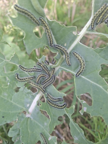
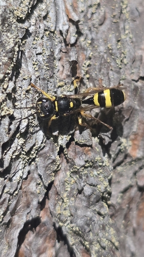
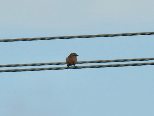
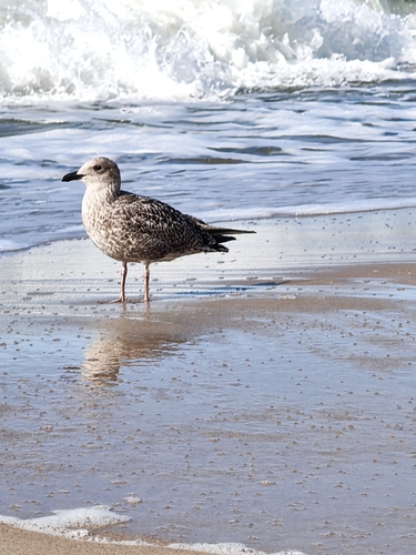
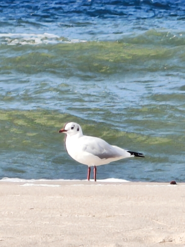
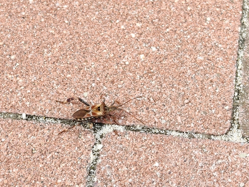

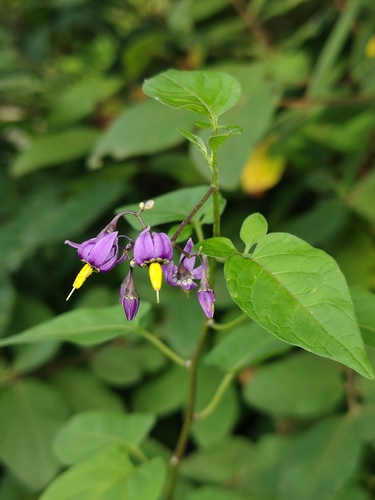
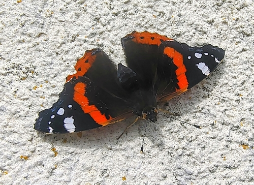
Research-grade observations from iNaturalist (within ~15 mi).
Events
Gallery
Official Identifiers
GUS — Statistics Poland
- SIMC code
- 0949448
- Population (Wikidata)
- 105,883
- Wikidata
- Q62868
SIMC place ID via Wikidata P4046
Sources
- • Wikipedia
- • Wikidata
- • iNaturalist
- • Open-Meteo / sunrise-sunset.org
- • Wikipedia Pageviews API
- • GUS — Statistics Poland — SIMC place ID via Wikidata P4046