Browse / Poland / Lower Silesia / Krajanów
Krajanów
Lower Silesiavillage

Krajanów
Total population
160
Demographic figures from Statistics Poland (GUS). Overview below cites Wikipedia and may reference a different year.
City facts
Overview
Krajanów is a village in the administrative district of Gmina Nowa Ruda, within Kłodzko County, Lower Silesian Voivodeship, in south-western Poland. Partly due to its location along the border between Silesia and Bohemia, Krajanów has been a part of different states over its history.
Read more on WikipediaHistory & geography
History
The first written record of the existence of Krajanów is from 1353. Exactly 70 years later in 1423, a Free Judge, a class of land owners specific to the County of Kladsko and belonged to the Third Estate, is noted to have lived in Krajanów. Descended mostly from German lokators, the Free Judges were people who had been granted special privileges by the King of Bohemia to reclaim and settle uninhabited areas. German law was gradually implemented in the Czech villages which predated their arrival. These municipalities were mostly located along the roads to Prague and Brno. The estate of a Free Judge was a separate legal entity with dominium rights. Such an estate would include not only agricultural lands and forests, but also mills, craft workshops as well as a pub, along with brewing and fishing rights. The subjects had to pay rent and provide certain services. An estate could be inherited by a child of either gender. When an estate was sold, the rights and privileges belonging to the estate were included in the sale. No taxes were levied on the estate itself, only on land added later. While under Bohemian rule the area around Kłodzko became a county in 1458. In 1631 Krajanów was described as a large settlement with its own church. In 1742 Kladsko County was conquered by Prussia, and Krajanów was annexed like the rest of Kladsko County. The village was quite active economically at the time, with records from 1748 indicating the presence of a water mill, 97 farms, as well as 21 craftsmen living in Krajanów. The county was abolished in 1816, and the territory was reformed into the Landkreis Glatz of Prussian Silesia. Like neighboring Lower Silesia, the locals were subject to Germanization by the Prussian government over the following decades. Nonetheless, the village…
Geography
Krajanów lies approximately west of Nowa Ruda, north-west of Kłodzko, and south-west of the regional capital Wrocław. Abutting Krajanów across the border in the Czech Republic is the municipality of Šonov in the Hradec Králové Region, located immediately south of the village.
Excerpted from the corresponding Wikipedia article (CC BY-SA).
Geography
Coordinates & boundaries from the US Census TIGER/Line shapefiles.
Climate
Air quality
Walkability
Amenities nearby
Wildlife & biodiversity
Most-observed species
- Eurasian BlackbirdTurdus merula Linnaeus, 1758 · Aves166
- Common ChaffinchFringilla coelebs Linnaeus, 1758 · Aves157
- Great TitParus major Linnaeus, 1758 · Aves154
- Common ChiffchaffPhylloscopus collybita (Vieillot, 1817) · Aves138
- Great Spotted WoodpeckerDendrocopos major (Linnaeus, 1758) · Aves132
- Coal TitPeriparus ater (Linnaeus, 1758) · Aves125
- BeechFagus sylvatica L. · Magnoliopsida120
- Eurasian Blue TitCyanistes caeruleus (Linnaeus, 1758) · Aves116
Citizen-science & research observations from the Global Biodiversity Information Facility (GBIF).
Earthquake history
Most recent
- M 4.5 — 2025-09-123 km NE of Lubin, Poland
- M 4.2 — 2025-05-194 km NE of Lubin, Poland
- M 4.2 — 2024-01-033 km SSW of Rudna, Poland
- M 4.2 — 2023-11-275 km S of Rudna, Poland
- M 4.1 — 2022-05-03Poland
- M 4 — 2021-12-096 km ESE of Polkowice, Poland
Events from the USGS Earthquake Catalog (global) (FDSN Event Web Service).
Photos
Sights & places nearby
Notable people from here


People born within ~10 km, from Wikidata (CC0). Click any name for their Wikipedia article.
Nearby places in Lower Silesia
- Sokolica1.3 mi away · pop. 100
- Walim6.8 mi away · pop. 2,340
- Radków6.8 mi away · pop. 2,310
- Rudnica10.2 mi away
- Wojbórz10.7 mi away · pop. 1,106
- Różana11.3 mi away
- Różana13.4 mi away
- Szalejów Dolny13.6 mi away
- Krzyżowa14.3 mi away
- Witów14.7 mi away · pop. 16
- Uciechów15 mi away · pop. 1,000
- Boleścin15.6 mi away · pop. 705
Geography & sun
Nearby airports
Public attention
Books about this place
Recent natural events nearby
Ground air-quality sensors
Recently spotted species
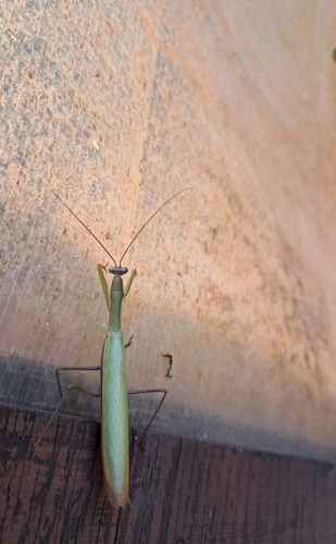
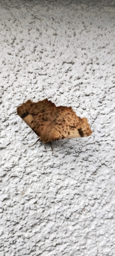
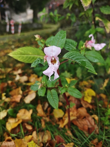
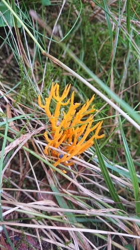
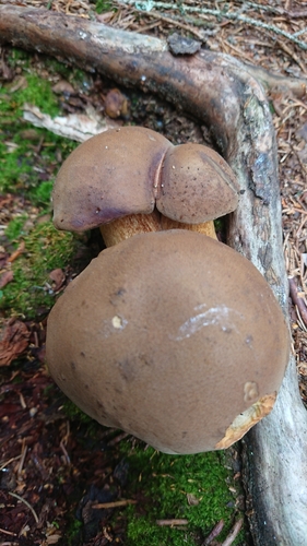
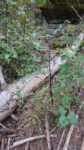
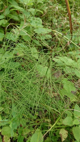
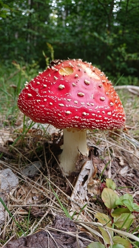
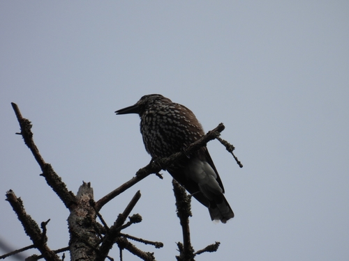
Research-grade observations from iNaturalist (within ~15 mi).
Events
Gallery
Official Identifiers
GUS — Statistics Poland
- SIMC code
- 0854297
- Wikidata
- Q522310
SIMC place ID via Wikidata P4046
Sources
- • Wikipedia
- • Wikidata
- • USGS Earthquake Catalog (global feed)
- • GBIF (Global Biodiversity Information Facility)
- • iNaturalist
- • GUS — Statistics Poland — SIMC place ID via Wikidata P4046