Browse / Poland / Lesser Poland / Krakow
Krakow
Lesser Polandcity

Krakow
Total population
800,653
Air quality index
Demographic figures from Statistics Poland (GUS). Overview below cites Wikipedia and may reference a different year.
City facts
Sister cities
Facts from Wikidata (CC0).
Overview
Kraków, officially the Royal Capital City of Kraków, is the second-largest and one of the oldest cities in Poland. Situated on the Vistula River in Lesser Poland Voivodeship, the city has a population of 816,614 (2025), with 1,428,363 people living in the Kraków metropolitan area. Kraków was the official capital of Poland until 1596 and has traditionally been one of the leading centres of Polish economic, academic, cultural, and artistic life. Its Old Town was declared a UNESCO World Heritage Site in 1978, one of the world's first sites granted the status.
Read more on WikipediaHistory & geography
History
The earliest evidence human settlement in Kraków comes from the Stone Age on the present site of the Wawel Hill. Kraków began as a fortified settlement of the Vistulans, a Lechitic tribe, around the 8th century. A legend attributes Kraków's founding to the mythical ruler Krakus, who built it above a cave occupied by a dragon, Smok Wawelski. The first written record of the city's name dates back to 965, when Kraków was described as a notable commercial centre controlled by Moravia (876–879), but captured by a Bohemian duke Boleslaus I in 955. In 1038, Kraków became the seat of the Polish government. It was rebuilt practically identically, based on new location act and incorporated in 1257 by the high duke Bolesław V the Chaste who following the example of Wrocław, introduced city rights modelled on the Magdeburg law allowing for tax benefits and new trade privileges for the citizens. In 1335, King Casimir III the Great () declared the two western suburbs to be a new city named after him, Kazimierz (). The defensive walls were erected around the central section of Kazimierz in 1362, and a plot was set aside for the Augustinian order next to Skałka. businesses, and guilds as science and the arts began to flourish. The 15th and 16th centuries were known as Poland's or Golden Age. Later in 1707, the city underwent an outbreak of bubonic plague that left 20,000 of the city's residents dead. Already weakened during the 18th century, by the mid-1790s the Polish–Lithuanian Commonwealth had twice been partitioned by its neighbors: Russia, the Habsburg empire and Prussia. From 1796 to 1809, the population of the city rose from 22,000 to 26,000 with an increasing percentage of nobles and officials. Kraków was also an influential centre of Jewish spiritual life, with all its…
Geography
Kraków lies in the southern part of Poland, on the Vistula River, approximately above sea level. The city is located on the border between different physiographic regions: the Kraków-Częstochowa Upland in the north-western parts of the city, the Małopolska Upland in the north-east, the Sandomierz Basin (east) and the Western Beskidian Foothills of the Carpathians (south). There are five nature reserves in Kraków, with a combined area of ca. . Due to their ecological value, these areas are legally protected. but with winter temperatures on average still below freezing, it is perhaps best defined as having a semicontinental climate. In older reference periods it was classified as a warm summer continental climate (Dfb). By classification of Wincenty Okołowicz, it has a warm temperate climate in the centre of continental Europe with the "fusion" of different features. Due to its geographic location, the city may be under marine influence, sometimes Arctic influence, but without direct influence, giving the city variable meteorological conditions over short spaces of time. The city lies in proximity to the Tatra Mountains and there are often occurrences of a foehn wind called halny, causing temperatures to rise rapidly. In relation to Warsaw, temperatures are very similar for most of the year, except that in the colder months southern Poland has a larger daily temperature range, more moderate winds, generally more rainy days and with greater chances of clear skies on average, especially in winter. The higher sun angle also allows for a longer growing season. In addition, for older data there was less sun than the capital of the country, about 30 minutes daily per year, but both have small differences in relative humidity and the direction of the winds is northeast.…
Excerpted from the corresponding Wikipedia article (CC BY-SA).
Geography
Coordinates & boundaries from the US Census TIGER/Line shapefiles.
Climate
10-year averages from ERA5 reanalysis (Open-Meteo).
Air quality
Current readings from Open-Meteo Air Quality API (Copernicus CAMS European reanalysis).
Walkability
Amenities nearby
Wildlife & biodiversity
Most-observed species
- Great TitParus major Linnaeus, 1758 · Aves4,181
- Eurasian BlackbirdTurdus merula Linnaeus, 1758 · Aves3,880
- Eurasian MagpiePica pica (Linnaeus, 1758) · Aves3,542
- Eurasian Blue TitCyanistes caeruleus (Linnaeus, 1758) · Aves3,530
- Common Wood-PigeonColumba palumbus Linnaeus, 1758 · Aves3,013
- MallardAnas platyrhynchos Linnaeus, 1758 · Aves2,977
- Western JackdawColoeus monedula (Linnaeus, 1758) · Aves2,940
- Hooded CrowCorvus cornix Linnaeus, 1758 · Aves2,841
Citizen-science & research observations from the Global Biodiversity Information Facility (GBIF).
Earthquake history
Most recent
- M 2.9 — 2025-04-294 km WSW of Bytom, Poland
- M 3 — 2023-10-042 km W of Murcki, Poland
- M 2.7 — 2022-04-234 km NE of ?wierklany Górne, Poland
- M 4.2 — 2022-02-074 km ESE of Katowice, Poland
- M 4.2 — 2020-01-132 km SSW of Orzesze, Poland
- M 2.8 — 2019-10-033 km SE of Paniówki, Poland
Events from the USGS Earthquake Catalog (global) (FDSN Event Web Service).
Photos
Sights & places nearby
Notable people from here


People born within ~10 km, from Wikidata (CC0). Click any name for their Wikipedia article.
Nearby places in Lesser Poland
- Beleza2618.6 mi away
- Hinzi2624.8 mi away
- Adi Q2629.4 mi away
- Adi Hawisha2631.5 mi away
- Embela2632.2 mi away
- Amesbury Town4080.8 mi away
- Boxford4090.4 mi away · pop. 2,284
- Peabody4095.8 mi away · pop. 54,695
- Harwich Center4100 mi away · pop. 1,774
- Yarmouth Port4105.3 mi away · pop. 5,961
- Duxbury4107.3 mi away · pop. 1,994
- Bourne4119.3 mi away · pop. 1,806
Geography & sun
Elevation, sunrise/sunset and daylight from Open-Meteo. Solar climatology from NASA POWER.
Nearby airports
Public attention
Pageview totals from the Wikimedia Pageviews API.
Books about Krakow
Search results from Open Library.
Recent natural events nearby
Ground air-quality sensors
Recently spotted species
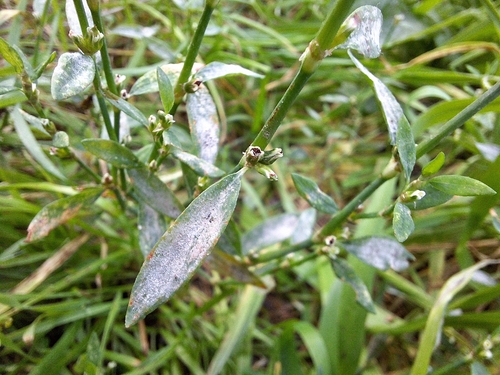
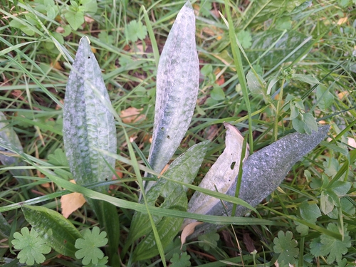
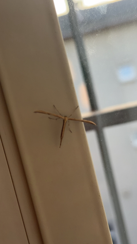
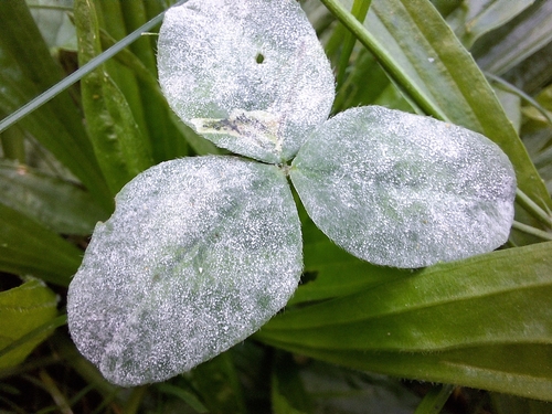
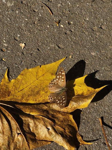
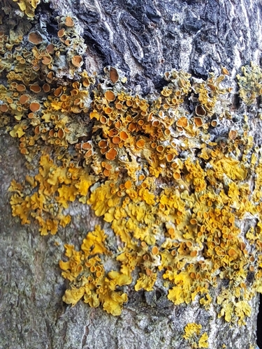
Research-grade observations from iNaturalist (within ~15 mi).
Events
Notable, recurring, and historical events associated with Krakow, sourced from Wikidata.
- 14th National Tournament of Uniformed ClassesSep 23, 2026recurring event edition
2026 edition of the National Tournament of Uniformed Classes organised by WSB University
- Q141248060Sep 23, 2026recurring event edition
- Dec 23, 2024
- Jun 21, 2023
- Jan 1, 2023
- Jan 1, 2023
- Jan 1, 2023
- Jan 1, 2023
- 2023 World Junior and U23 Canoe Slalom ChampionshipsJan 1, 2023planned event
- Jan 1, 2023
- Q113006034Jan 1, 2022sporting event
- 2021 European Amputee Football ChampionshipSep 1, 2021recurring event edition
international football competition
- 16th WSB University Science FestivalMar 9, 2020recurring event edition
16th edition of the WSB University Science Festival, 2020
- 15th WSB University Science FestivalMar 25, 2019recurring event edition
15th edition of the WSB University Science Festival, 2019
- 14th WSB University Science FestivalMar 12, 2018recurring event edition
14th edition of the WSB University Science Festival, 2018
- 12th WSB University Science FestivalMar 14, 2016recurring event edition
12th edition of the WSB University Science Festival, 2016
- Jan 1, 2014
- Aug 13, 2005
- 1996 European Conference on Science and TheologyJan 1, 1996recurring event edition
conference on theology and science in 1996
- Q131685398Jan 1, 1994annual event
Source: Wikidata (CC0).
Gallery
Sources
- • Wikipedia
- • Open-Meteo (ERA5 reanalysis)
- • Wikidata
- • Open-Meteo Air Quality (CAMS)
- • USGS Earthquake Catalog (global feed)
- • GBIF (Global Biodiversity Information Facility)
- • iNaturalist
- • Open-Meteo / sunrise-sunset.org
- • Wikipedia Pageviews API
- • Open Library