Browse / Poland / Kuyavia-Pomerania / Kruszwica
Kruszwica
Kuyavia-Pomeraniatown

Kruszwica
Total population
9,288
Demographic figures from Statistics Poland (GUS). Overview below cites Wikipedia and may reference a different year.
City facts
Facts from Wikidata (CC0).
Overview
Kruszwica is a town in central Poland, in the Inowrocław County in the Kuyavian-Pomeranian Voivodeship. It has a population of 9,161 (2010). Initially founded in the 6th century, Kruszwica is the oldest town in the region and features a medieval castle with a 12th-century Romanesque church. It is situated on the shores of Gopło Lake in the historic region of Kuyavia.
Read more on WikipediaHistory & geography
History
This article incorporates text from "The Political History of Poland" (1917) by Edward Henry Lewinski-Corwin, a publication now in the public domain. Owing to the frequent raids of the Norsemen, the people of this region early organized an effective military force of defense. Under the protection of the military bands and their chiefs, the fields could safely be cultivated and the little, fortified towns (grody), which became places for the transaction of intertribal business and barter, for common worship, and for the storage of goods during a foreign invasion could be successfully defended and the wrongs of the people redressed. The military bands and their leaders soon became the unifying force, and the fortified towns, the centers of a larger political organization, with the freeman (Kmiec or Kmeton) as its base. The first historical town of this nature was that of Kruszwica, on the Lake of Gopło. Kruszwica formed part of Poland since its establishment in the 10th century. Some historical writers attribute the change in the political organization of the primitive Polanie tribe to the influence of foreign commerce, which for geographic reasons had early centered on the Gopło. At that period the lake was a very large body of water with a level at least ten feet higher than at present. The many small lakes now existing in the region were in all probability a part of Gopło, and the valleys of the vicinity constituted the bottom of the lake. There are many reasons to believe that such was the hydrography of the section in that remote age. In his description of Gopło, written five hundred years ago, Jan Długosz, a Polish historian, speaks of a vast body of water, leading us to believe that the lake then was much larger than it is at the present time. There is reason…
Excerpted from the corresponding Wikipedia article (CC BY-SA).
Geography
Coordinates & boundaries from the US Census TIGER/Line shapefiles.
Climate
Air quality
Walkability
Amenities nearby
Wildlife & biodiversity
Earthquake history
Photos
Sights & places nearby
Notable people from here


People born within ~10 km, from Wikidata (CC0). Click any name for their Wikipedia article.
Nearby places in Kuyavia-Pomerania
Geography & sun
Elevation, sunrise/sunset and daylight from Open-Meteo. Solar climatology from NASA POWER.
Nearby airports
Public attention
Pageview totals from the Wikimedia Pageviews API.
Books about this place
Recent natural events nearby
Ground air-quality sensors
Recently spotted species
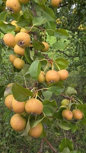
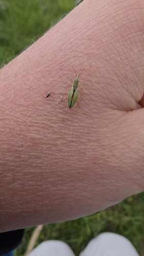
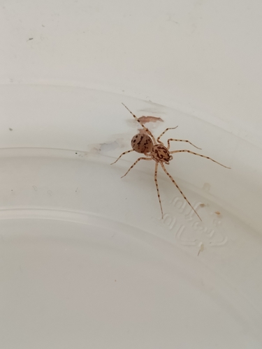
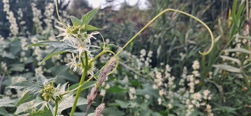
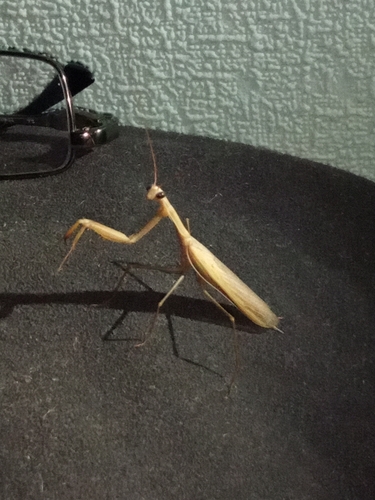
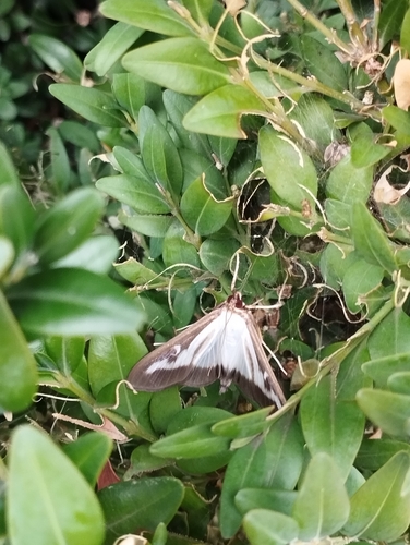
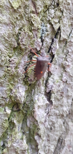
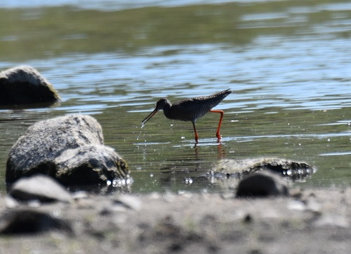
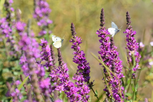
Research-grade observations from iNaturalist (within ~15 mi).
Events
Gallery
Official Identifiers
GUS — Statistics Poland
- SIMC code
- 0929380
- Population (Wikidata)
- 9,288
- Wikidata
- Q166717
SIMC place ID via Wikidata P4046
Sources
- • Wikipedia
- • Wikidata
- • iNaturalist
- • Open-Meteo / sunrise-sunset.org
- • Wikipedia Pageviews API
- • GUS — Statistics Poland — SIMC place ID via Wikidata P4046