Browse / Poland / Świętokrzyskie / Kunów
Kunów
Świętokrzyskietown

Kunów
Total population
2,739
Demographic figures from Statistics Poland (GUS). Overview below cites Wikipedia and may reference a different year.
City facts
Facts from Wikidata (CC0).
Overview
Kunów is a town in Ostrowiec County, Świętokrzyskie Voivodeship, Poland, with 3,153 inhabitants (2004). It lies in Lesser Poland, on the Kamienna river, 8 kilometres northwest of Ostrowiec Świętokrzyski.
Read more on WikipediaHistory & geography
History
In the early Middle Ages Kunów belonged to the Archbishops of Kraków, who had a manor house here. In 1241 the village was raided by the Mongols (see First Mongol invasion of Poland), and in 1247 it was destroyed by the army of Prince Konrad I of Masovia. In 1365 King Casimir III the Great granted it town rights, and at that time Kunów was the seat of a parish whose area was . The town belonged to Sandomierz Voivodeship in the Lesser Poland Province. In the 15th century powerful Cardinal Zbigniew Oleśnicki spent a lot of time in Kunów, which already had a wooden church of St. Władysław. In 1502 the town was completely burned by the Crimean Tatars, and as a result it temporarily lost its Magdeburg rights, regaining the privileges on August 29, 1535. In 1578 Kunów had 65 different artisans, and was famous for its white and red marble, used in construction of several palaces (such as the complex of Łazienki Park in Warsaw). By 1616 the town had 130 houses, a parish school and two churches, however after the catastrophic Swedish invasion of Poland (1655–1660), the number of houses was reduced to 63, with a population of 530. After the wars of the 1650s, Kunów's importance declined. In 1705, 560 residents died in an epidemic, and in the late 18th century, after the Third Partition of Poland, the town was annexed by the Habsburg Empire. After the Polish victory in the Austro-Polish War of 1809, it became part of the short-lived Duchy of Warsaw, and after the duchy's dissolution in 1815, it fell to the Russian-controlled Congress Poland, where it remained until 1915. Kunów burned in fires in 1814 and 1818, and in 1860 it had 145 houses with 1,121 inhabitants. During the January Uprising the town was one of centers of the rebellion, here leaders of Polish forces met to discuss…
Excerpted from the corresponding Wikipedia article (CC BY-SA).
Geography
Coordinates & boundaries from the US Census TIGER/Line shapefiles.
Climate
Air quality
Walkability
Amenities nearby
Wildlife & biodiversity
Earthquake history
Photos
Sights & places nearby
Notable people from here
Nearby places in Świętokrzyskie
- Udziców1.1 mi away · pop. 113
- Rudka1.5 mi away
- Prawęcin2 mi away · pop. 292
- Boksycka2.3 mi away · pop. 160
- Kolonia Inwalidzka2.7 mi away · pop. 354
- Wymysłów2.9 mi away · pop. 430
- Mychów2.9 mi away · pop. 300
- Piotrów3.3 mi away · pop. 150
- Świrna3.4 mi away · pop. 410
- Nosów3.7 mi away · pop. 140
- Strupice4 mi away · pop. 130
- Bór Kunowski4.5 mi away · pop. 213
Geography & sun
Nearby airports
Public attention
Books about this place
Recent natural events nearby
Ground air-quality sensors
Recently spotted species


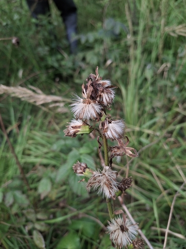

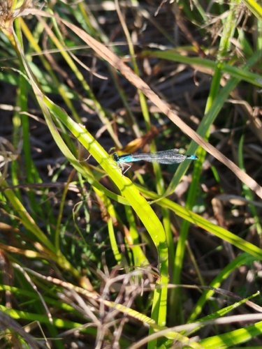
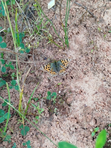
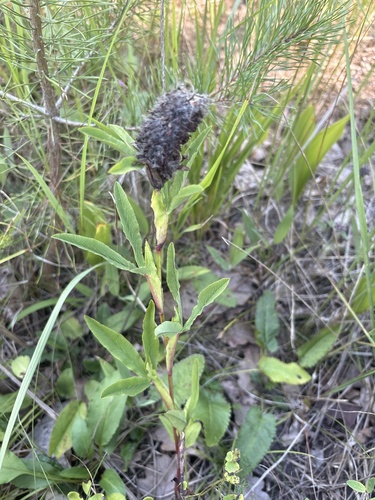
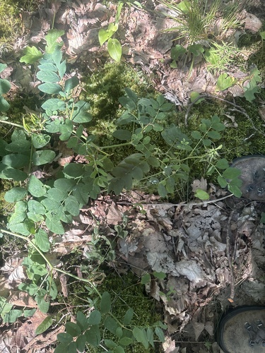
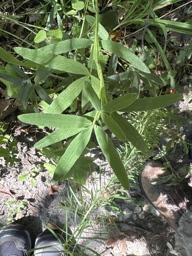
Research-grade observations from iNaturalist (within ~15 mi).
Events
Gallery
Sources
- • Wikipedia
- • Wikidata
- • iNaturalist