Browse / Poland / Lower Silesia / Leśna
Leśna
Lower Silesiatown

Leśna
Total population
4,203
Founded
1144
Demographic figures from Statistics Poland (GUS). Overview below cites Wikipedia and may reference a different year.
City facts
Facts from Wikidata (CC0).
Overview
Leśna is a town in Lubań County, Lower Silesian Voivodeship, in south-western Poland, close to the Czech border. It is the seat of the administrative district (gmina) called Gmina Leśna. As of 2019, the town has a population of 4,439.
Read more on WikipediaHistory & geography
History
The earliest historical record dates back to 1247, when King Wenceslaus I of Bohemia granted the border castle of Leśna (castrum Lesne) to the Bishop of Meißen Conrad I of Wallhausen. This stronghold served as a frontier fortress for the historical region of Upper Lusatia, guarding an important river crossing while protecting the territory against the neighboring Piast duchies of Silesia. The town itself developed independently from the castle, growing at a ford across the Kwisa (Queis) river, which marked the historic border between Upper Lusatia and Silesia. Its creation was tied to the medieval German expansion into the Upper Lusatian borderlands, where German settlers established nearby forest homestead villages between 1230 and 1260. Shortly thereafter, a trading settlement formed on the Upper Lusatian side of the river crossing. In 1319, Duke Henry I of Jawor assumed control over the eastern part of Upper Lusatia, known as the Görlitz or Queis district. To establish an economic and market hub for his newly acquired Upper Lusatian lands, he formally founded the town under German town law between 1319 and 1329. The settlement was officially documented as a market town (oppidum forense) for the first time on May 3, 1329, in a treaty between Henry I and King John of Bohemia. Following Henry's death in 1346, the town, along with the rest of Upper Lusatia, integrated permanently into the Lands of the Bohemian Crown, soon adopting a structured system of stady self-governance complete with its own mayor, city councilors, and magistrates. This first town layout was abandoned in 1434 upon devastations by the Hussite Wars, a flood and a fire, and rebuilt at its present location further south on the route from Frýdlant to Lubań. A centre of cloth manufacturing, it…
Geography
The town is situated north of the Jizera Mountains on the left banks of the Kwisa River, the eastern edge of the historic Upper Lusatia region. In the south, a border crossing leads to Jindřichovice pod Smrkem in Bohemia. Lake Leśnia, a reservoir of the Kwisa River, is located east of the town.
Excerpted from the corresponding Wikipedia article (CC BY-SA).
Geography
Coordinates & boundaries from the US Census TIGER/Line shapefiles.
Climate
Air quality
Walkability
Amenities nearby
Wildlife & biodiversity
Earthquake history
Photos
Sights & places nearby
Notable people from here
Geography & sun
Elevation, sunrise/sunset and daylight from Open-Meteo. Solar climatology from NASA POWER.
Nearby airports
Public attention
Pageview totals from the Wikimedia Pageviews API.
Books about this place
Recent natural events nearby
Ground air-quality sensors
Recently spotted species
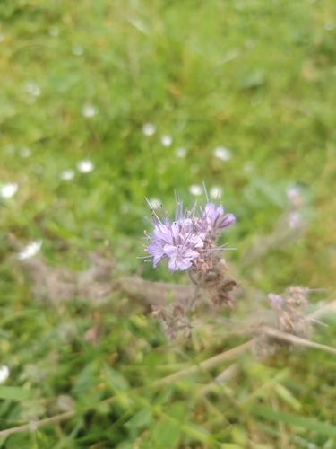


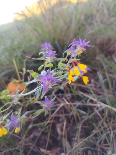
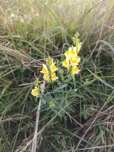
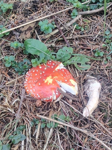
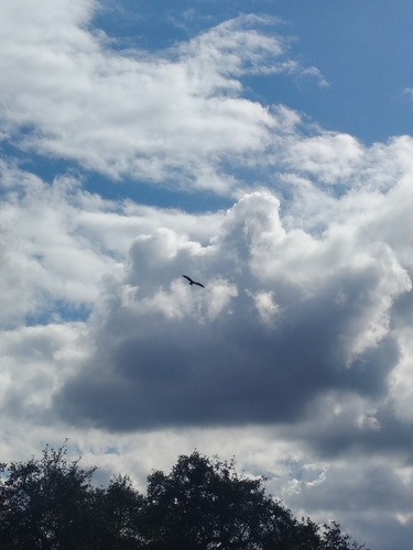
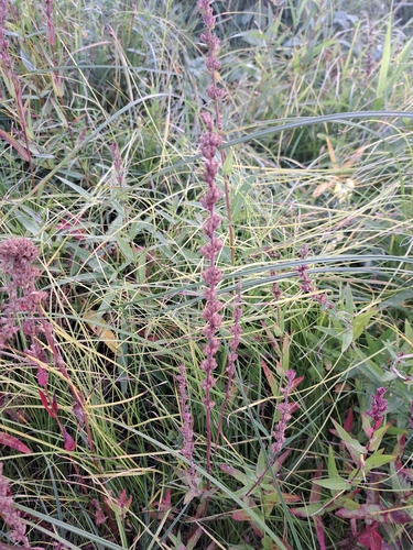
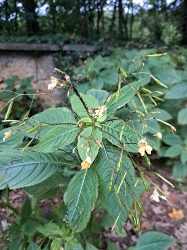
Research-grade observations from iNaturalist (within ~15 mi).
Events
Gallery
Sources
- • Wikipedia
- • Wikidata
- • iNaturalist
- • Open-Elevation
- • Open-Meteo / sunrise-sunset.org
- • Wikipedia Pageviews API