Browse / Poland / Subcarpathia / Mielec
Mielec
Subcarpathiatown

Mielec
Total population
58,213
Founded
1457
Demographic figures from Statistics Poland (GUS). Overview below cites Wikipedia and may reference a different year.
City facts
Sister cities
Facts from Wikidata (CC0).
Overview
Mielec is the largest city and seat of Mielec County, located within the Subcarpathian Voivodeship in south-eastern Poland. The population of Mielec in December 2021 was 59,509.
Read more on WikipediaHistory & geography
History
The first mention of a place called Mielec occurs in the thirteenth century in the 1229 bull of Pope Gregory IX. In the second half of the fourteenth century, "Mielecka" was mentioned in a list of parishes. The city of Mielec, part of Sandomierz Voivodeship and Lesser Poland Province of the Kingdom of Poland, was founded on 17 March 1457, when King Casimir IV granted a charter to Jan Mielecki for the establishment of a city under the name of Nowy Targ. For unknown reasons Jan Mielecki did not go on to found the city; it was eventually established by his two sons, Jan and Bernardyn, by an Act of 18 December 1470. The Mielecki family owned the town of Mielec until the last of the Mieleckis died in 1771. Under their rule, there was intensive development of craft industries. In 1522, the first guild was founded. This was the blacksmiths' guild. It was followed by guilds of tailors, cobblers, potters, spinners, and weavers. The next owners of Mielec were the Ossolinski and Morsztyn families. In 1775, Anna Ossilińska married Jan Pieniążek, bringing as a dowry her share of part of the city. The next owner was Ignacy Suchorzewski, who married Pieniążek's daughter Paulina. Suchorzewski sold Mielec's property to Ludwik Starzeński in 1847, who then disposed of it ten years later to a Jewish family named Gross. The last owner of Mielec was the Oborski family in 1891. In 1853, the county town of Mielec governed an area in which there were 106 settlements and 91 castral municipalities. In 1892, on Kosciuszko Street a new City Council building and police barracks were built. The development of the county town was interrupted by a huge fire, which destroyed three quarters of the city. This catastrophe caused the city to apply for a state loan of 12 crowns, the receipt of which led…
Excerpted from the corresponding Wikipedia article (CC BY-SA).
Geography
Coordinates & boundaries from the US Census TIGER/Line shapefiles.
Climate
Air quality
Walkability
Amenities nearby
Wildlife & biodiversity
Earthquake history
Photos
Sights & places nearby
Notable people from here
Nearby places in Subcarpathia
- Podleszany1.3 mi away · pop. 1,562
- Wola Mielecka1.6 mi away · pop. 1,823
- Książnice1.9 mi away · pop. 601
- Boża Wola2.7 mi away · pop. 129
- Trzciana3.7 mi away · pop. 1,300
- Rydzów4.1 mi away · pop. 348
- Grzybów4.4 mi away
- Trześń4.5 mi away · pop. 1,291
- Chrząstów4.6 mi away · pop. 666
- Zaborcze4.9 mi away
- Orłów4.9 mi away
- Malinie5 mi away
Geography & sun
Elevation, sunrise/sunset and daylight from Open-Meteo. Solar climatology from NASA POWER.
Nearby airports
Public attention
Pageview totals from the Wikimedia Pageviews API.
Books about this place
Recent natural events nearby
Ground air-quality sensors
Recently spotted species
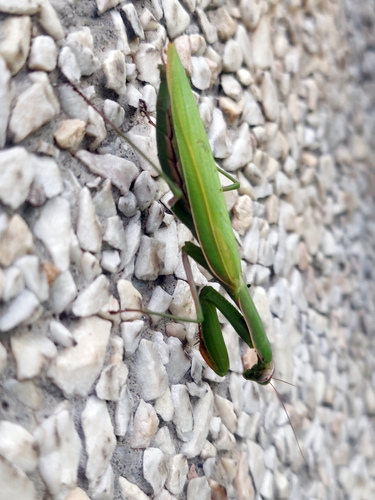
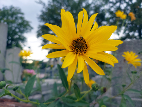
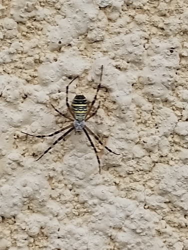
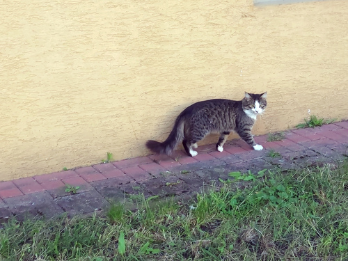
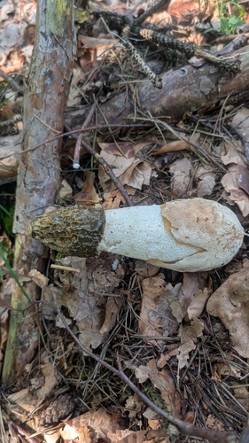
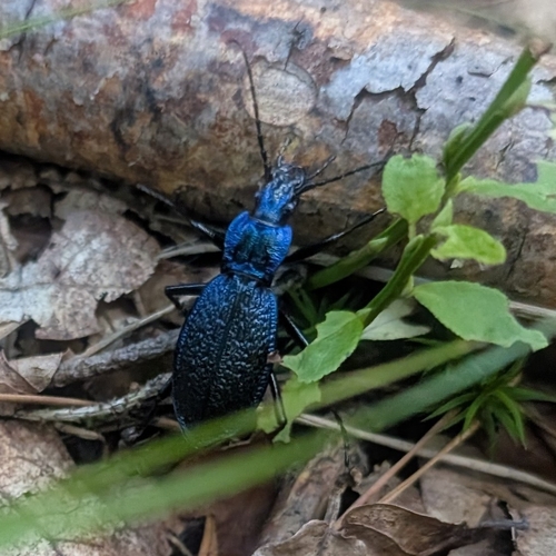
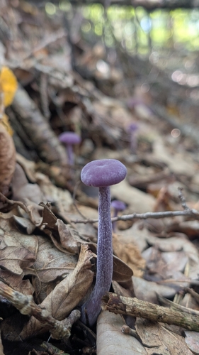
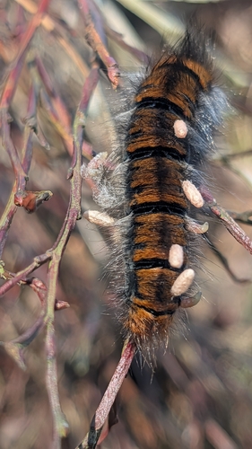

Research-grade observations from iNaturalist (within ~15 mi).
Events
Gallery
Official Identifiers
GUS — Statistics Poland
- SIMC code
- 0974618
- Population (Wikidata)
- 58,213
- Wikidata
- Q658861
SIMC place ID via Wikidata P4046
Sources
- • Wikipedia
- • Wikidata
- • iNaturalist
- • Open-Meteo / sunrise-sunset.org
- • Wikipedia Pageviews API
- • GUS — Statistics Poland — SIMC place ID via Wikidata P4046