Browse / Poland / Silesia / Mysłowice
Mysłowice
Silesiacity

Mysłowice
Total population
72,553
Founded
1241
Demographic figures from Statistics Poland (GUS). Overview below cites Wikipedia and may reference a different year.
City facts
Sister cities
Facts from Wikidata (CC0).
Overview
Mysłowice is a city in Silesia in Poland, bordering Katowice. The population of the city as of 2022 is 72,124.
Read more on WikipediaHistory & geography
History
Mysłowice is one of the oldest cities in Upper Silesia. Located at the confluence of the White and Black Przemsza rivers, it is situated on an important trading route from Wrocław to Kraków. The earliest traces of the modern settlement date back to the 11th and 12th century, when it was part of Piast-ruled Poland. The first mention of a parish priest is found in a document from 1306. In 1360, Mysłowice was already referred to as a town. The previously existing village was granted city rights around 1260. Over the centuries the ownership of the city changed frequently, as did the borders between different countries. After the foundation of the German Empire in 1871 the area became known as Dreikaisereck ("triangle of the three emperors"), as it was situated at the point where the Austrian, German and Russian Empires adjoined. A local branch of the Polish Sokół movement was established in 1903, but was dissolved in 1905 due to harassment by local German authorities, and replaced by a new branch in the present-day district of Kosztowy a week later. After World War I, in 1918, Poland regained independence, and in 1919, local Polish miners organized large protests in Mysłowice. On August 15, 1919, the German Grenzschutz opened fire on protesting Polish miners and their families. After the Silesian Uprisings in 1922, Mysłowice and the rest of East Upper Silesia became part of the newly restored Second Polish Republic. During the German occupation of Poland (World War II), the Germans operated a Nazi prison in the town. Many Polish children passed through the prison during the implementation of the Nazi genocidal policy towards Polish families in Silesia. In the Wesoła district, the Germans also established and operated a forced labour camp for Jews and a subcamp of the…
Excerpted from the corresponding Wikipedia article (CC BY-SA).
Geography
Coordinates & boundaries from the US Census TIGER/Line shapefiles.
Climate
Air quality
Walkability
Amenities nearby
Wildlife & biodiversity
Earthquake history
Photos
Sights & places nearby
Notable people from here


People born within ~10 km, from Wikidata (CC0). Click any name for their Wikipedia article.
Nearby places in Silesia
- Preczów9 mi away · pop. 798
- Psary9.6 mi away · pop. 2,717
- Malinowice10 mi away · pop. 807
- Chełm Mały10.2 mi away
- Dąbie Chrobakowe10.7 mi away
- Kuźnica Podleśna11 mi away
- Dąbie11.3 mi away · pop. 850
- Góra Siewierska11.4 mi away · pop. 845
- Bobrowniki11.7 mi away
- Brzękowice Górne11.9 mi away · pop. 214
- Wojkowice Kościelne12.1 mi away · pop. 1,251
- Goląsza Górna12.1 mi away · pop. 204
Geography & sun
Elevation, sunrise/sunset and daylight from Open-Meteo. Solar climatology from NASA POWER.
Nearby airports
Public attention
Pageview totals from the Wikimedia Pageviews API.
Books about Mysłowice


Search results from Open Library.
Recent natural events nearby
Ground air-quality sensors
Recently spotted species
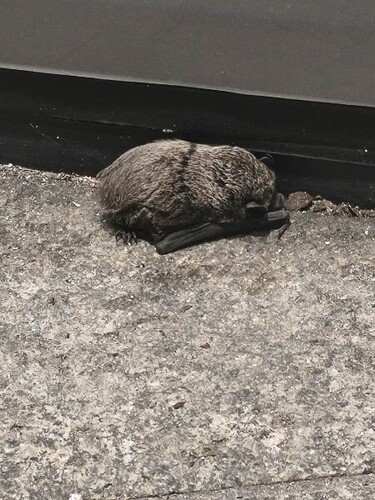
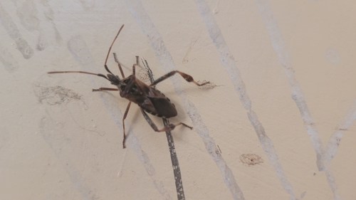
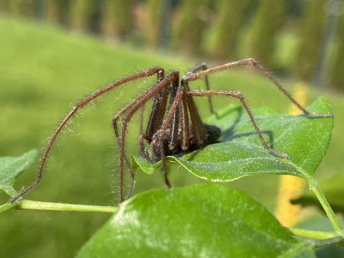
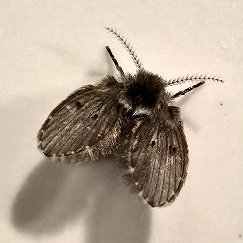
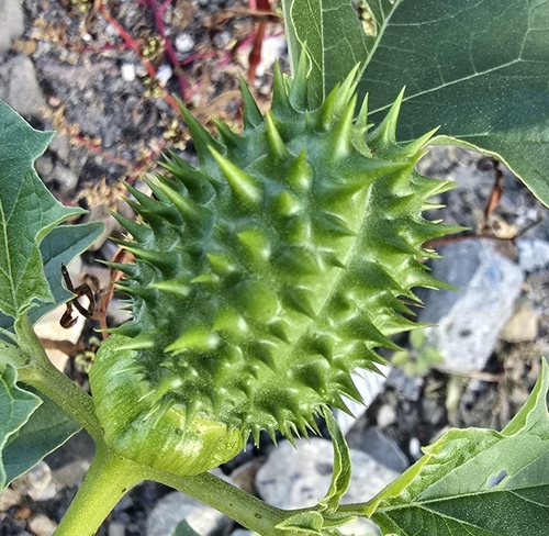
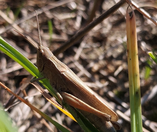
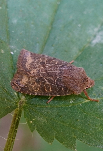
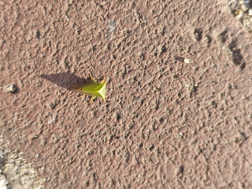
Research-grade observations from iNaturalist (within ~15 mi).
Events
Notable, recurring, and historical events associated with Mysłowice, sourced from Wikidata.
Source: Wikidata (CC0).
Gallery
Official Identifiers
GUS — Statistics Poland
- SIMC code
- 0311792
- Wikidata
- Q11787691
SIMC place ID via Wikidata P4046
Sources
- • Wikipedia
- • Wikidata
- • iNaturalist
- • Open-Meteo / sunrise-sunset.org
- • Wikipedia Pageviews API
- • Open Library
- • GUS — Statistics Poland — SIMC place ID via Wikidata P4046