Browse / Poland / Subcarpathia / Ocieka
Ocieka
Subcarpathiavillage

Ocieka
Total population
1,200
Demographic figures from Statistics Poland (GUS). Overview below cites Wikipedia and may reference a different year.
City facts
Overview
Ocieka is a village in the administrative district of Gmina Ostrów, within Ropczyce-Sędziszów County, Subcarpathian Voivodeship, in south-eastern Poland. The village lies on the main road between Ropczyce and Mielec. It is situated in the Sandomierz Forest, one of the biggest forests in southern Poland, which covers large parts of the Sandomierz Basin, an areas was once popular with Polish nobility for hunting and fishing. Ocieka lies on the Tuszymka river, a tributary of the Wisłoka river. In the past this area was known for iron smelting and iron goods.
Read more on WikipediaHistory & geography
History
Since its formation in the late 15th century Ocieka has been known by several different names; although these appear to be phonetic variations of the same name. Parish documents and chronicles show it as ‘Otsijeka’, ‘Odszycha’ and ‘Ucieka’. The village was named by Anna née Ocieska Mielecka and it is probably the ancestral seat of the ‘Ocieskis’, who also owned Rzemień, a village to the north of Ocieka. According to a local legend, in the region near Ocieka there occurred a battle against the Tatars. The Polish knights achieved a resounding victory. To commemorate this, a hill close by became known as ‘Góra Tatarska’ (Tatar Hill). At this time, Ocieka had a very industrial character; tar and wood charcoal was manufactured here, as was iron. In the 17th and 18th centuries there was a glass foundry nearby. At this time the ownership of the village passed from the ‘Ocieski’ family to the ‘Romerów’ (or ‘Romer’) family. With these outlying settlements the village has 1,465 Roman Catholic inhabitants, of whom 127 live on the grounds of the major estate, owned by Count Władyslaw Romer. The major estate has 756 mórgs of farmland (1 mórg ≈ 0.56 ha), 52 of meadows and gardens, 89 of pastures, and 1,678 of forests; the minor estate has 1,948 mórgs of farmland, 388 of meadows, 479 of pastures, and 343 of forests. The pastures are mostly sandy waste-land. The parish church is old and made of wood, of unknown funding, and contains sacramental registers dating from 1785. The parish includes Blizna, with 233 inhabitants; there are 37 Jews in the parish. There is a people's school here, and a fund for the poor, which has 500 zł. in austrian currency. The church in Ocieka was converted into a warehouse, for the storage of specialist V-1 and V-2 test-rocket materials.
Excerpted from the corresponding Wikipedia article (CC BY-SA).
Geography
Coordinates & boundaries from the US Census TIGER/Line shapefiles.
Climate
Air quality
Walkability
Amenities nearby
Wildlife & biodiversity
Earthquake history
Photos
Sights & places nearby
Notable people from here


People born within ~10 km, from Wikidata (CC0). Click any name for their Wikipedia article.
Geography & sun
Elevation, sunrise/sunset and daylight from Open-Meteo. Solar climatology from NASA POWER.
Nearby airports
Public attention
Pageview totals from the Wikimedia Pageviews API.
Books about this place
Recent natural events nearby
Ground air-quality sensors
Recently spotted species
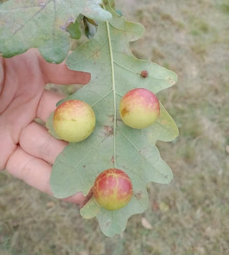
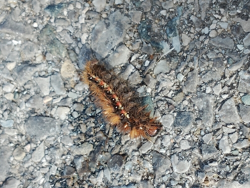
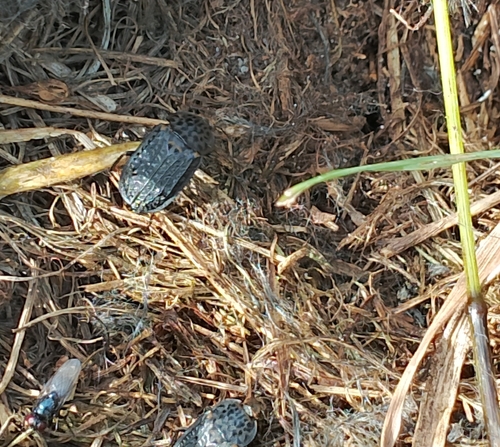
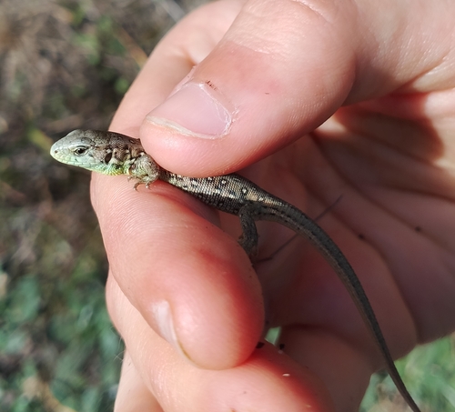
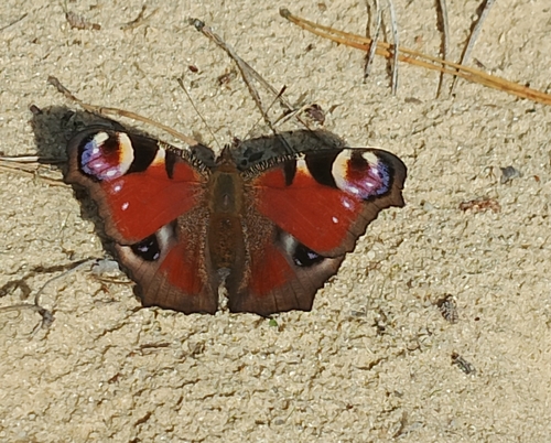
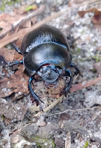
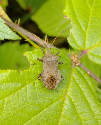
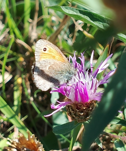
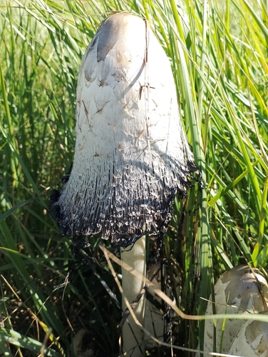
Research-grade observations from iNaturalist (within ~15 mi).
Events
Gallery
Official Identifiers
GUS — Statistics Poland
- SIMC code
- 0658082
- Population (Wikidata)
- 1,245
- Wikidata
- Q7076493
SIMC place ID via Wikidata P4046
Sources
- • Wikipedia
- • Wikidata
- • iNaturalist
- • Open-Elevation
- • Open-Meteo / sunrise-sunset.org
- • Wikipedia Pageviews API
- • GUS — Statistics Poland — SIMC place ID via Wikidata P4046