Browse / Poland / Warmia-Masuria / Okartowo
Okartowo
Warmia-Masuriavillage

Okartowo
Demographic figures from Statistics Poland (GUS). Overview below cites Wikipedia and may reference a different year.
City facts
Overview
Okartowo is a village in the administrative district of Gmina Orzysz, within Pisz County, Warmian-Masurian Voivodeship, in northern Poland.
Read more on WikipediaHistory & geography
History
The Teutonic Order built a castle (a so-called Ordensburg) called Eckersburg here in 1340; it was subordinate to the castle of Balga. Several battles were fought here and sometime around 1361 it was destroyed by Lithuanian troops under the command of Kęstutis. Rebuilt, it was again destroyed by the soldiers of Kęstutis in 1378. After this, it was abandoned by the Teutonic Order as a fortification. The village grew up nearby the castle but suffered from history (it was pillaged by Tatars during the Deluge, occupied by Russian troops during the Seven Years' War and struck by the plague) and never developed beyond a small settlement. In 1782, it had 121 inhabitants. After World War II, it became part of Poland.
Excerpted from the corresponding Wikipedia article (CC BY-SA).
Geography
Coordinates & boundaries from the US Census TIGER/Line shapefiles.
Climate
Air quality
Walkability
Amenities nearby
Wildlife & biodiversity
Earthquake history
Photos
Sights & places nearby
Notable people from here


People born within ~10 km, from Wikidata (CC0). Click any name for their Wikipedia article.
Geography & sun
Elevation, sunrise/sunset and daylight from Open-Meteo. Solar climatology from NASA POWER.
Nearby airports
Public attention
Pageview totals from the Wikimedia Pageviews API.
Books about this place
Recent natural events nearby
Ground air-quality sensors
Recently spotted species
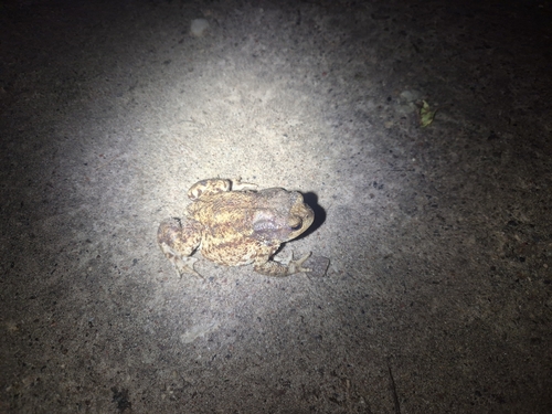
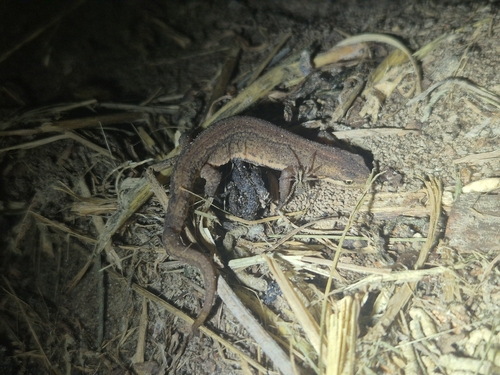
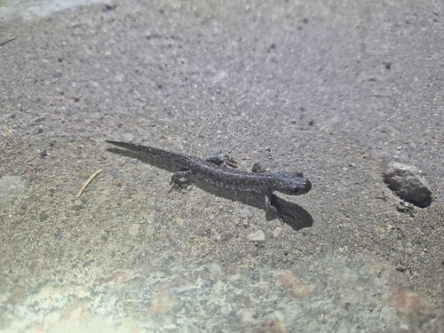
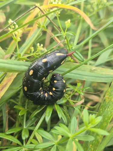
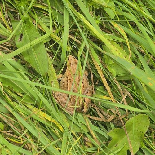
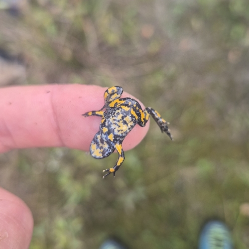
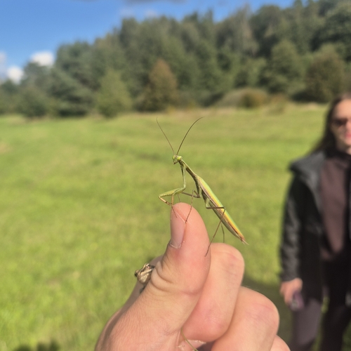
Research-grade observations from iNaturalist (within ~15 mi).
Events
Gallery
Official Identifiers
GUS — Statistics Poland
- SIMC code
- 0763956
- Wikidata
- Q11796960
SIMC place ID via Wikidata P4046
Sources
- • Wikipedia
- • Wikidata
- • iNaturalist
- • Open-Meteo / sunrise-sunset.org
- • Wikipedia Pageviews API
- • GUS — Statistics Poland — SIMC place ID via Wikidata P4046