Browse / Poland / Warmia-Masuria / Olecko
Olecko
Warmia-Masuriatown

Olecko
Total population
16,076
Demographic figures from Statistics Poland (GUS). Overview below cites Wikipedia and may reference a different year.
City facts
Sister cities
Facts from Wikidata (CC0).
Overview
Olecko is a town in northeastern Poland. It is in Masuria, near Ełk and Suwałki, in the Warmian-Masurian Voivodeship. It is at the mouth of the Lega river which flows into the Great Olecko Lake on its southwestern shore. Olecko is the seat of Olecko County.
Read more on WikipediaHistory & geography
History
Since the 1540s, there was a hunting lodge on the Lega River, soon expanded into a castle, and a settlement, both called Olecko. Margrabowa was founded as a town by Albert, Duke of Prussia, a vassal of Poland, on January 1, 1560. The name was derived from the word Margrabia (Polish for Margrave), the duke's title as the margraviate of Brandenburg-Ansbach's prince, by adding the suffix "-owa", which is typical in Poland for place names derived from personal names and titles. Wojdowski brought Poles from Mazovia and Masuria to settle the town. As of 1600, the population was exclusively Polish. In 1616, the seat of the local starosts was definitively moved from Straduny to Olecko. In June 1807, Polish soldiers of General Józef Zajączek took Olecko, then left the town to be replaced by the 2nd Infantry Regiment of Jan Henryk Dąbrowski. Dąbrowski himself visited the town several times. Between 1818 and 1945, Marggrabowa became the seat of Oletzko County (German: Kreis Oletzko) in the province of East Prussia. From the beginning of the 19th century, the Prussian authorities launched attempts to Germanize the population, as Poles made up 90% of the county's population as of 1818. Germanization at first was pursued because of a fear of Polonization in Masuria since the German languages' status was fragile in the region, but in the aftermath of November Uprising the Prussian government took a more hardline approach, proclaiming that all pupils must learn German in school. In 1836, the local priesthood organized a synod in the town which protested against Germanization policies. The synod's protest was signed by all the pastors in the county, and its arguments were later used by the well-known defenders of the Polish language in Masuria, Gustaw Gizewiusz and Krzysztof Celestyn…
Excerpted from the corresponding Wikipedia article (CC BY-SA).
Geography
Coordinates & boundaries from the US Census TIGER/Line shapefiles.
Climate
Air quality
Walkability
Amenities nearby
Wildlife & biodiversity
Earthquake history
Photos
Sights & places nearby
Notable people from here


People born within ~10 km, from Wikidata (CC0). Click any name for their Wikipedia article.
Geography & sun
Elevation, sunrise/sunset and daylight from Open-Meteo. Solar climatology from NASA POWER.
Nearby airports
Public attention
Pageview totals from the Wikimedia Pageviews API.
Books about this place
Recent natural events nearby
Ground air-quality sensors
Recently spotted species
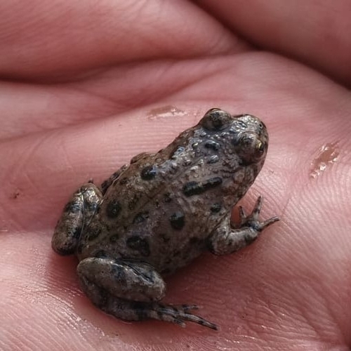
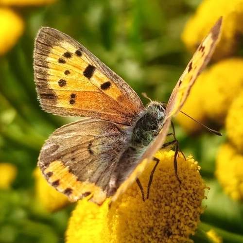
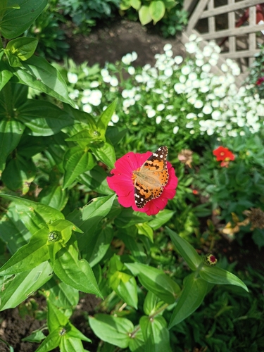
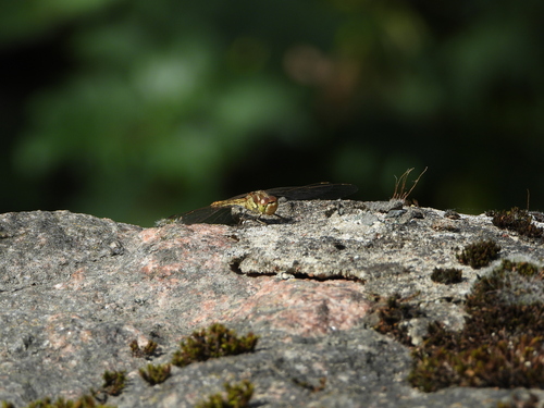
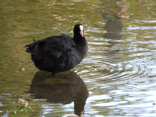
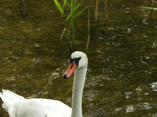
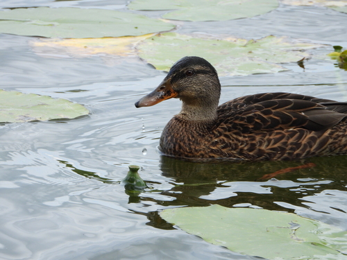
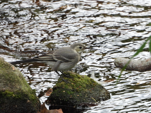

Research-grade observations from iNaturalist (within ~15 mi).
Events
Gallery
Official Identifiers
GUS — Statistics Poland
- SIMC code
- 0977798
- Population (Wikidata)
- 16,076
- Wikidata
- Q950436
SIMC place ID via Wikidata P4046
Sources
- • Wikipedia
- • Wikidata
- • iNaturalist
- • Open-Meteo / sunrise-sunset.org
- • Wikipedia Pageviews API
- • GUS — Statistics Poland — SIMC place ID via Wikidata P4046