Browse / Poland / Warmia-Masuria / Orneta
Orneta
Warmia-Masuriatown

Orneta
Total population
8,292
Demographic figures from Statistics Poland (GUS). Overview below cites Wikipedia and may reference a different year.
City facts
Facts from Wikidata (CC0).
Overview
Orneta is a town in northern Poland, with a total population of 8,951 (2016). It is situated in the Lidzbark County in the Warmian-Masurian Voivodeship and within the historical region of Warmia.
Read more on WikipediaHistory & geography
History
Orneta, said to have been a village of the ancient Old Prussians, was first mentioned in 1308. The town coat of arms depicts the worm (English: worm, dragon; German: Worms, Wurm as in Tatzelwurm, Lindworm). The bishop of Warmia Eberhard von Neiße ordered the building of a new town which received town rights in 1313 and was mainly populated by settlers from Silesia. In 1341–1350, it was the seat of the Bishops of Warmia. In 1538 Orneta was visited by astronomer Nicolaus Copernicus, who accompanied the newly elected Warmian bishop, Polish diplomat Jan Dantyszek during his tour of Warmia. The town was annexed by the Kingdom of Prussia in the First Partition of Poland in 1772, and subsequently it became part of Germany in 1871. During World War II, the Germans established three prisoner of war forced labour camps in the town. After Germany's defeat in the war, the town became again part of Poland. In May 2010, a procession with the coffin of Nicolaus Copernicus stopped in Orneta and official ceremonies took place before the great astronomer was buried again in Frombork.
Excerpted from the corresponding Wikipedia article (CC BY-SA).
Geography
Coordinates & boundaries from the US Census TIGER/Line shapefiles.
Climate
Air quality
Walkability
Amenities nearby
Wildlife & biodiversity
Earthquake history
Photos
Sights & places nearby
Notable people from here
Geography & sun
Elevation, sunrise/sunset and daylight from Open-Meteo. Solar climatology from NASA POWER.
Nearby airports
Public attention
Pageview totals from the Wikimedia Pageviews API.
Books about this place
Recent natural events nearby
Ground air-quality sensors
Recently spotted species
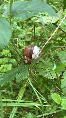
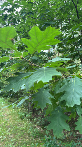
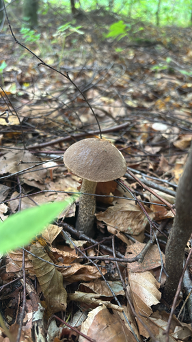
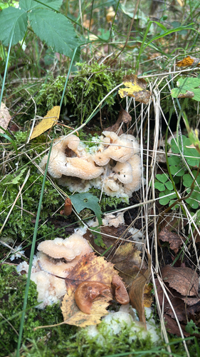
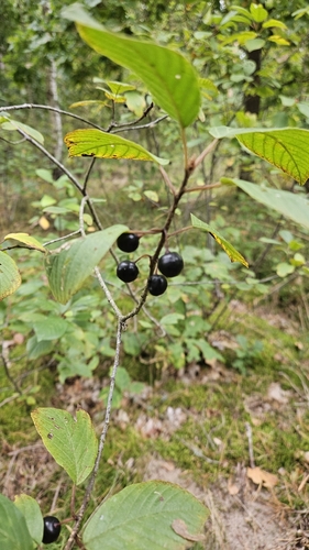
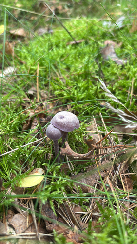
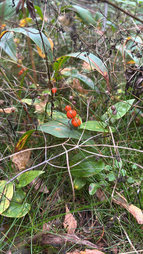
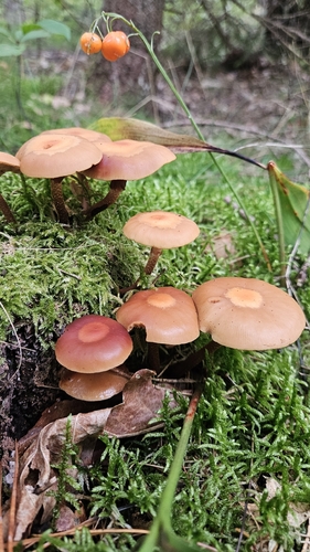
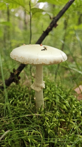
Research-grade observations from iNaturalist (within ~15 mi).
Events
Gallery
Official Identifiers
GUS — Statistics Poland
- SIMC code
- 0932910
- Population (Wikidata)
- 8,292
- Wikidata
- Q1025330
SIMC place ID via Wikidata P4046
Sources
- • Wikipedia
- • Wikidata
- • iNaturalist
- • Open-Meteo / sunrise-sunset.org
- • Wikipedia Pageviews API
- • GUS — Statistics Poland — SIMC place ID via Wikidata P4046