Browse / Poland / Warmia-Masuria / Ostróda
Ostróda
Warmia-Masuriatown

Ostróda
Total population
32,052
Demographic figures from Statistics Poland (GUS). Overview below cites Wikipedia and may reference a different year.
City facts
Overview
Ostróda is a town in northern Poland, in the ethnocultural region of Masuria. It is the seat of the Ostróda County within the Warmian-Masurian Voivodeship and has approximately 33,191 inhabitants (2009).
Read more on WikipediaHistory & geography
History
At the site of an original settlement of Old Prussians on an island at the river delta where the Drwęca river flows into Lake Drwęca the town of Ostróda evolved. In 1270 the Teutonic Order began constructing wooden earthworks to control the original settlement as well as defend the initial Polish and German settlers. The knights named the new town Osterode after Osterode am Harz in present-day Lower Saxony, Germany (now a sister city with Ostróda). Between 1349-1370 the Order replaced the wood-and-earth fort with a stone castle. The town, whose charter traditionally dates to 1335, quickly became a regional administrative center for the Order. After the Battle of Grunwald in 1410, Claus von Doringe conquered the castle and delivered the town to the victorious Polish King Władysław II Jagiełło. The Polish king brought the body of Ulrich von Jungingen there before travelling to besiege Marienburg (Malbork); the regrouping Teutonic Knights recaptured Osterode a few months later. In 1440, local nobility co-founded the anti-Teutonic Prussian Confederation, upon the request of which the town was incorporated to the Kingdom of Poland by King Casimir IV Jagiellon in 1454. During the subsequent Thirteen Years' War (1454–1466), the town was repeatedly captured by both the Poles and Prussian Confederation on one side and the Teutonic Knights on the other. After the peace treaty signed in Toruń in 1466 it formed part of Poland as a fief held by the Teutonic Order. From 1525 until 1701 Osterode was part of Ducal Prussia, a fief of Poland until 1657, and after 1701 part of Kingdom of Prussia. In the 17th century and until the 19th century the town and its surroundings were inhabited mostly by Poles. The majority of inhabitants were Protestant and the Evangelical church books date…
Geography
The town lies in the west part of the Masuria region on the Drwęca river, a right tributary of the Vistula. Lake Drwęca west of the town is part of the Masurian Lake District. Ostróda has become a growing tourist site owing to its relaxing natural surroundings. The National road 7 from Gdańsk to Warsaw, part of European route E77, passes through Ostróda. The Elbląg Canal connects Ostróda with the Baltic coast.
Excerpted from the corresponding Wikipedia article (CC BY-SA).
Geography
Coordinates & boundaries from the US Census TIGER/Line shapefiles.
Climate
Air quality
Walkability
Amenities nearby
Wildlife & biodiversity
Earthquake history
Photos
Sights & places nearby
Notable people from here


People born within ~10 km, from Wikidata (CC0). Click any name for their Wikipedia article.
Nearby places in Warmia-Masuria
- Florczaki9.9 mi away · pop. 830
- Komorowo10.1 mi away · pop. 190
- Kaletka10.5 mi away
- Kozia Góra11.3 mi away · pop. 170
- Gietrzwałd11.6 mi away · pop. 1,070
- Kretowiny12.8 mi away · pop. 140
- Ględy13.2 mi away · pop. 260
- Trokajny13.7 mi away
- Gębiny13.8 mi away · pop. 30
- Kojdy14 mi away · pop. 120
- Brzydowo16 mi away
- Nowa Wieś16.2 mi away · pop. 559
Geography & sun
Nearby airports
Public attention
Books about this place
Recent natural events nearby
Ground air-quality sensors
Recently spotted species
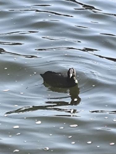
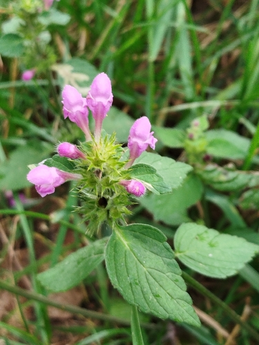
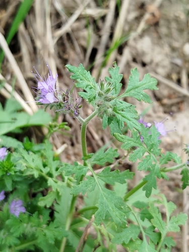
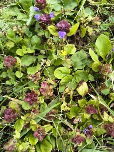

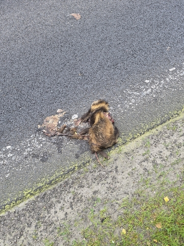
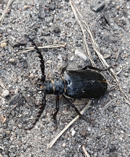
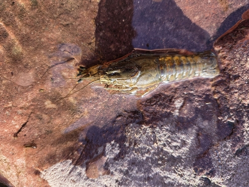
Research-grade observations from iNaturalist (within ~15 mi).
Events
Gallery
Official Identifiers
GUS — Statistics Poland
- SIMC code
- 0964927
- Population (Wikidata)
- 9,410
- Wikidata
- Q899751
SIMC place ID via Wikidata P4046
Sources
- • Wikipedia
- • Wikidata
- • iNaturalist
- • GUS — Statistics Poland — SIMC place ID via Wikidata P4046