Browse / Poland / Masovia / Radom
Radom
Masoviacity

Radom
Total population
201,601
Demographic figures from Statistics Poland (GUS). Overview below cites Wikipedia and may reference a different year.
City facts
Sister cities
Facts from Wikidata (CC0).
Overview
Radom is a city in east-central Poland, located approximately 100 kilometres south of the capital, Warsaw. It is situated on the Mleczna River in the Masovian Voivodeship. Radom is the sixteenth-largest city in Poland and the second-largest in its province with a population of 191,819 (31.12.2025).
Read more on WikipediaHistory & geography
History
Radom's original settlement dates back to the 8th–9th century. It was an early medieval town in the valley of the Mleczna River (on the approximate site of present-day Old Town). In the second half of the 10th century, it became a gord, called Piotrówka, which was protected by a rampart and a moat. Due to convenient location on the edge of a large wilderness, and its proximity to the border of Lesser Poland and Mazovia, Radom quickly emerged as an important administrative center of the early Kingdom of Poland. Piotrówka was probably named after St. Peter church, which in 1222 was placed under the authority of a Benedictine Abbey in nearby Sieciechów. The church no longer exists; the oldest still-extant church in Radom is St. Wacław, founded in the 13th century by Duke of Sandomierz Leszek I the White. The first documented mention of Radom comes from the year 1155, in a bull of Pope Adrian IV (villam iuxta Rado, que vocatur Zlauno, or a village near Radom, called Sławno). By 1233, Radom was the seat of a castellan. The name of the city comes from the ancient Slavic given name Radomir, and Radom means a gord, which belongs to Radomir. In the second half of the 13th century, Radom was granted a Środa Śląska town charter by Duke Bolesław V the Chaste, although no documents exist to confirm the exact date of this event. The town prospered in the 14th century, when in 1350 King Casimir III the Great established the so-called New Town, with a royal castle, a defensive wall, and a town hall. There was also a market square and a grid plan of the streets, patterned after Gothic German towns. The area of New Town was 9 hectares, and the length of the defensive wall was 1,100 meters. Radom had three gates, named after main merchant roads: Iłża Gate, Piotrków Gate, and Lublin…
Geography
Radom has a humid continental climate (Köppen: Dfb). * St. Wenceslaus Church in the Old Town Square: founded by Leszek I the White, built in the 13th century in Gothic style * St. John the Baptist Church: founded by Casimir III, built in 1360–1370 in gothic style, and re-constructed many times * Bernardine Church and monastery: founded by Casimir IV of Poland, built in 1468–1507, listed as a Historic Monument of Poland * Holy Trinity Church: built in 1619–1627 in Baroque style, burned in a fire and was rebuilt in 1678–1691 * Gąska's and Esterka's Houses from the 16th–17th century * Evangelical Church of the Augsburg Confession: built in 1785 * Sandomierz Palace: building of voivodeship council, built in 1825–1827, designed in classical style by Antonio Corazzi * City hall: built in 1847–1848 * Cathedral of Virgin Mary: built in 1899–1908 in Gothic Revival style * Resursa Citizen's Club building built in 1852 * Podworski House built in the Renaissance Revival style in 1867 * Tool gates: built in the nineteenth century in classical style * Tadeusz Kościuszko Park opened in 1867 *Radom Air Show: the most popular air show in Poland
Excerpted from the corresponding Wikipedia article (CC BY-SA).
Geography
Coordinates & boundaries from the US Census TIGER/Line shapefiles.
Climate
10-year averages from ERA5 reanalysis (Open-Meteo).
Air quality
Walkability
Amenities nearby
Wildlife & biodiversity
Earthquake history
Photos
Sights & places nearby
Notable people from here


People born within ~10 km, from Wikidata (CC0). Click any name for their Wikipedia article.
Nearby places in Masovia
Geography & sun
Elevation, sunrise/sunset and daylight from Open-Meteo. Solar climatology from NASA POWER.
Nearby airports
Public attention
Pageview totals from the Wikimedia Pageviews API.
Books about this place
Recent natural events nearby
Ground air-quality sensors
Recently spotted species
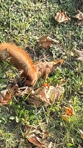
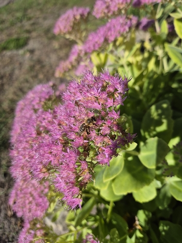
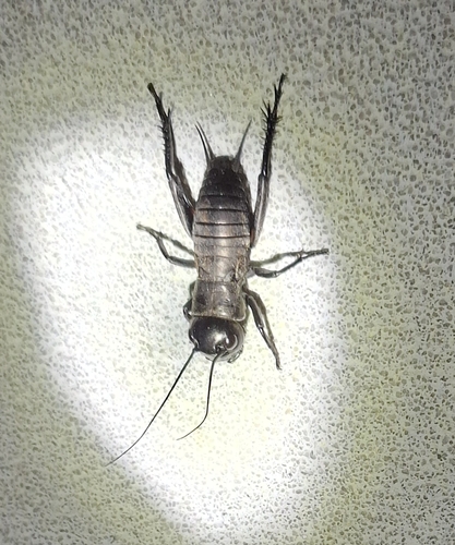
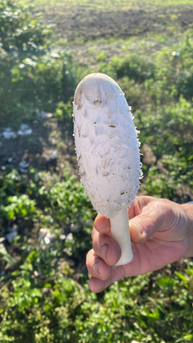
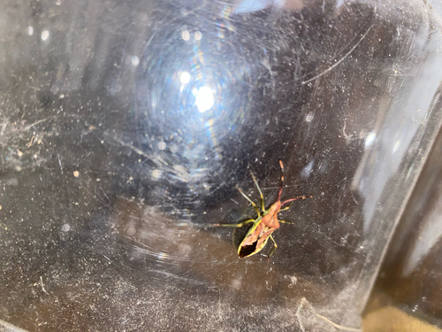
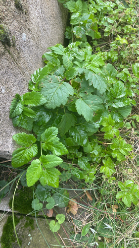

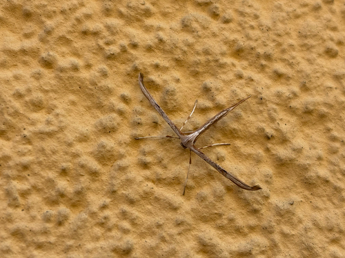
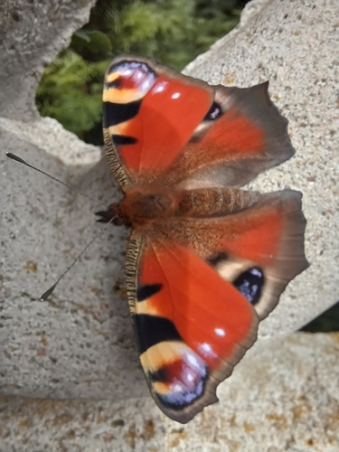
Research-grade observations from iNaturalist (within ~15 mi).
Events
Gallery
Official Identifiers
GUS — Statistics Poland
- SIMC code
- 0972750
- Population (Wikidata)
- 201,601
- Wikidata
- Q104740
SIMC place ID via Wikidata P4046
Sources
- • Wikipedia
- • Open-Meteo (ERA5 reanalysis)
- • Wikidata
- • iNaturalist
- • Open-Meteo / sunrise-sunset.org
- • Wikipedia Pageviews API
- • GUS — Statistics Poland — SIMC place ID via Wikidata P4046