Browse / Poland / Lublin / Rejowiec Fabryczny
Rejowiec Fabryczny
Lublintown

Rejowiec Fabryczny
Total population
4,102
Demographic figures from Statistics Poland (GUS). Overview below cites Wikipedia and may reference a different year.
City facts
Overview
Rejowiec Fabryczny is a town in eastern Poland, in Lublin Voivodeship, in Chełm County. It has 4,419 inhabitants (2016). Rejowiec Fabryczny is a rail junction, located on the main Warsaw-Lublin-Chełm connection. Also, another line originates in Rejowiec Fabryczny, which goes southwards to Zamość.
Read more on WikipediaHistory & geography
History
First settlements located in what now is Rejowiec Fabryczny were mentioned in the 13th century document, when this area belonged to Kingdom of Galicia–Volhynia. In the mid-14th century, the region of Chełm was regained by Poland. For centuries, a folwark existed here, which belonged to several szlachta families, such as the Rejs and the Wojakowskis. During the Third Partition of Poland in 1795, the area was annexed by Austria. After the Polish victory in the Austro-Polish War of 1809 it was regained by Poles and included within the short-lived Polish Duchy of Warsaw. Following the duchy's dissolution in 1815, it was part of the Russian-controlled Congress Poland. In March 1876, Krzysztof Morawski built here a manor house, surrounded by a park. In 1878, the area of today’s Rejowiec Fabryczny was purchased by Society of the Vistula River Railroad, which in 1879–1880 built here a rail station. In 1914, Society of Lublin Portland Factory began construction of a cement plant. Due to World War I, the plant was not finished until 1924. Furthermore, two apartment blocks for workers were built in the Morawinek district. Following the joint German-Soviet invasion of Poland, which started World War II in September 1939, the area was occupied by Germany until 1944. The plant was expanded in 1951–1955, after which it produced 700,000 tons of cement annually. Following Communist custom, it was named “Peace”, and additional flats were added, which gave Rejowiec Fabryczny the status of osiedle. Finally, in 1962 Rejowiec Fabryczny was granted a town charter. In the 1960s and 1970s the newly established town quickly developed. New buildings were added and its population grew.
Excerpted from the corresponding Wikipedia article (CC BY-SA).
Geography
Coordinates & boundaries from the US Census TIGER/Line shapefiles.
Climate
Air quality
Walkability
Amenities nearby
Wildlife & biodiversity
Earthquake history
Photos
Sights & places nearby
Notable people from here
Geography & sun
Elevation, sunrise/sunset and daylight from Open-Meteo. Solar climatology from NASA POWER.
Nearby airports
Public attention
Pageview totals from the Wikimedia Pageviews API.
Books about this place
Recent natural events nearby
Ground air-quality sensors
Recently spotted species
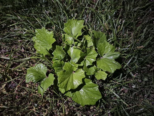
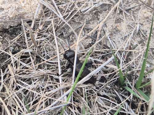
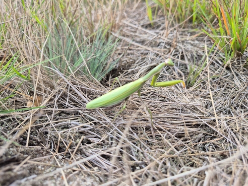
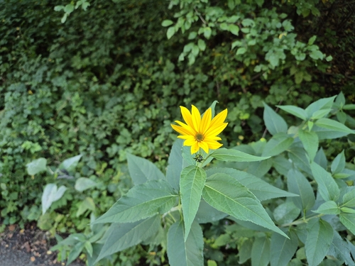
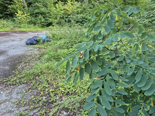
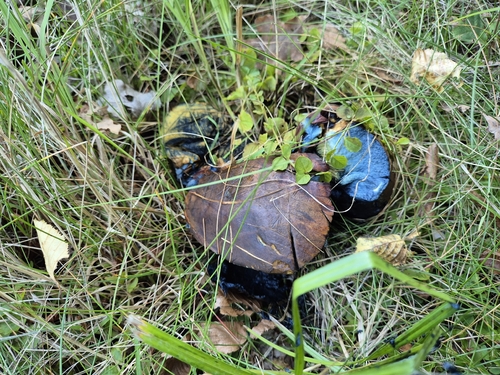
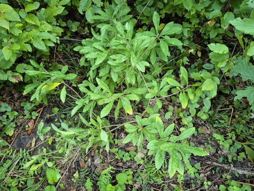
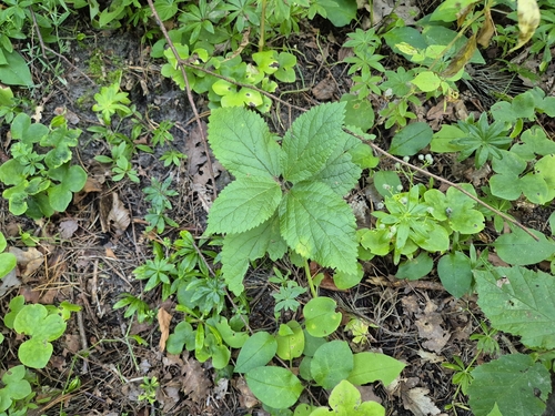
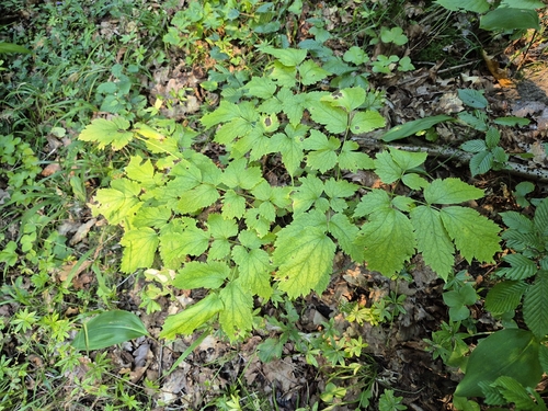
Research-grade observations from iNaturalist (within ~15 mi).
Events
Gallery
Official Identifiers
GUS — Statistics Poland
- SIMC code
- 0930176
- Population (Wikidata)
- 4,102
- Wikidata
- Q1906301
SIMC place ID via Wikidata P4046
Sources
- • Wikipedia
- • iNaturalist
- • Open-Meteo / sunrise-sunset.org
- • Wikipedia Pageviews API
- • GUS — Statistics Poland — SIMC place ID via Wikidata P4046