Browse / Poland / Warmia-Masuria / Reszel
Reszel
Warmia-Masuriatown

Reszel
Total population
4,167
Founded
1241
Demographic figures from Statistics Poland (GUS). Overview below cites Wikipedia and may reference a different year.
City facts
Facts from Wikidata (CC0).
Overview
Reszel is a town in the Warmian-Masurian Voivodeship, in northeastern Poland. As of 2012, the population was 4,896. A small medieval town situated in the historical Warmia region, Reszel possesses many architecturally renowned monuments and various attractions. The Gothic castle, the main square and the core surrounded by brick defense walls are popular among incoming tourists.
Read more on WikipediaHistory & geography
History
Reszel was originally a settlement built by the Bartian tribe of Old Prussians and conquered by the Teutonic Knights in 1241. The native Prussians later recaptured the settlement and held it for five years, but were eventually defeated by the German crusaders. Reszel received its town privileges in 1337 under Chełmno Law. After the Polish victory in the Battle of Grunwald in 1410, the town was briefly captured by Poles led by King Władysław II Jagiełło. an event that sparked the Thirteen Years' War. In 1455, the Teutonic Knights captured the town and in 1462 ceded their power to the Warmian bishop, who once more in 1464 recognized the Polish King as the rightful ruler of Warmia with Reszel. The incorporation of Reszel to the Kingdom of Poland was confirmed in a peace treaty signed in Toruń in 1466. In the 17th century, the Jesuits came to Reszel and established a college in 1632 and the Polish King John II Casimir Vasa created a scholarship fund for its students. In 1772 Reszel was annexed by Prussia in the First Partition of Poland, and became part of the Prussian Partition of Poland. In the late 18th century the local parish priest was Marcin Krasicki, and he was often visited by his brother Ignacy Krasicki, leading Polish Enlightenment poet and prince-bishop of Warmia. The trial is sometimes described as the last burning of witches in Europe. From 1871 the town was part of Germany and as a result of the treaty of Versailles on 11 July 1920 the 1920 East Prussian plebiscite was organized under the control of the League of Nations, which resulted in 3,260 votes to remain in Germany and none for Poland, which just regained independence. After German surrender at the end of World War II, sovereignty over the town was ceremoniously transferred to Polish authorities on…
Excerpted from the corresponding Wikipedia article (CC BY-SA).
Geography
Coordinates & boundaries from the US Census TIGER/Line shapefiles.
Climate
Air quality
Walkability
Amenities nearby
Wildlife & biodiversity
Earthquake history
Photos
Sights & places nearby
Notable people from here


People born within ~10 km, from Wikidata (CC0). Click any name for their Wikipedia article.
Nearby places in Warmia-Masuria
- Czarnowiec1.7 mi away · pop. 107
- Kępa Tolnicka1.9 mi away · pop. 25
- Klewno1.9 mi away
- Łężany5.6 mi away · pop. 410
- Kolno7 mi away · pop. 590
- Lembruk7.5 mi away · pop. 230
- Podlechy7.7 mi away · pop. 217
- Błogoszewo7.9 mi away · pop. 39
- Garbno8.1 mi away
- Pręgowo8.2 mi away · pop. 150
- Gałwuny8.2 mi away
- Dąbrowa8.6 mi away
Geography & sun
Elevation, sunrise/sunset and daylight from Open-Meteo. Solar climatology from NASA POWER.
Nearby airports
Public attention
Pageview totals from the Wikimedia Pageviews API.
Books about this place
Recent natural events nearby
Ground air-quality sensors
Recently spotted species
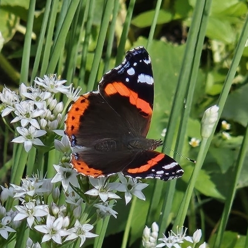
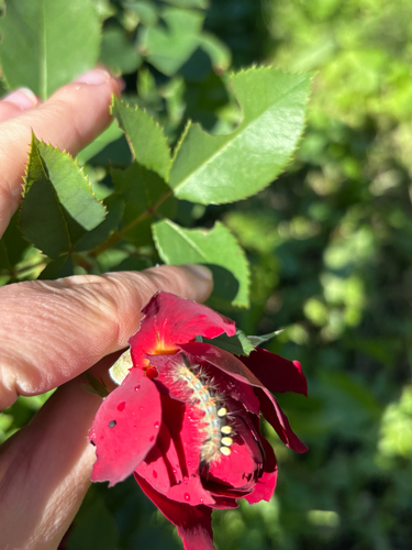
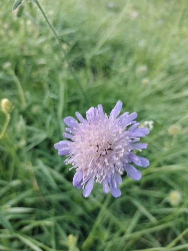
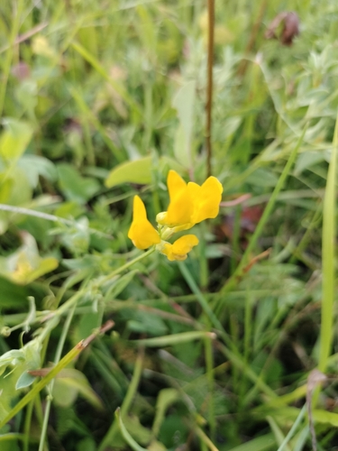
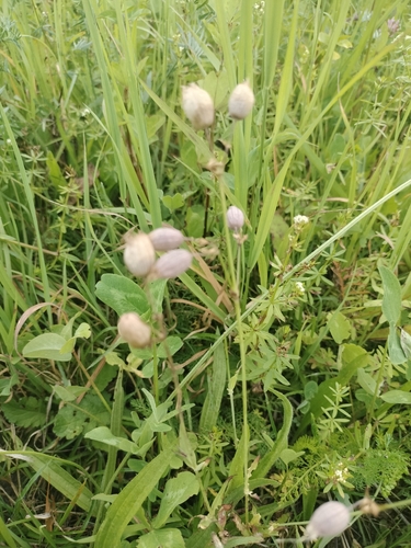
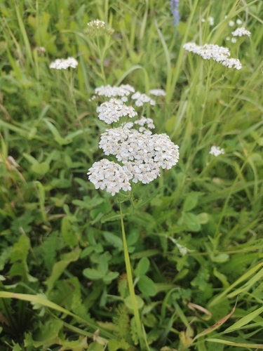
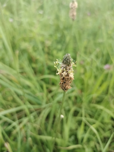
Research-grade observations from iNaturalist (within ~15 mi).
Events
Gallery
Official Identifiers
GUS — Statistics Poland
- SIMC code
- 0964979
- Population (Wikidata)
- 4,167
- Wikidata
- Q986841
SIMC place ID via Wikidata P4046
Sources
- • Wikipedia
- • Wikidata
- • iNaturalist
- • Open-Meteo / sunrise-sunset.org
- • Wikipedia Pageviews API
- • GUS — Statistics Poland — SIMC place ID via Wikidata P4046