Browse / Poland / Silesia / Ruda Śląska
Ruda Śląska
Silesiacity

Ruda Śląska
Total population
129,531
Founded
1959
Demographic figures from Statistics Poland (GUS). Overview below cites Wikipedia and may reference a different year.
City facts
Sister cities
Facts from Wikidata (CC0).
Overview
Ruda Śląska is a city in Silesia in southern Poland, near Katowice. It is a city in the Metropolis GZM, a metropolis with a population of two million. It is in the Silesian Highlands, on the Kłodnica River.
Read more on WikipediaHistory & geography
History
A large village is known to have existed at the location of the present day city center in 1243. The city name appears to indicate the awareness and perhaps exploitation of ores from early times. The area underwent rapid industrialization (coal, steel, zinc) in the 19th and the beginning of 20th century. However, it remained a cluster of industrial settlements and villages until the 1950s, when it was administratively united. However, it never developed into a truly unified city. Before the German invasion of Poland and the outbreak of World War II, in 1939, German saboteurs carried out an attack in Ruda. Following the invasion, the area was under German occupation from 1939 to 1945. Several Polish teachers from present-day Ruda Śląska were murdered by the Germans in concentration camps as part of the Intelligenzaktion. The Germans also established and operated a Polenlager forced labour camp for Poles in the present-day district of Kochłowice, and the E83 forced labour subcamp of the Stalag VIII-B/344 prisoner-of-war camp in the present-day district of Chebzie. The Polish resistance movement was active in the area. In 1945, the German occupation ended, and the area was restored to Poland, although with a Soviet-installed communist regime, which then stayed in power until the fall of communism in the 1980s. After the fall of communism in 1989, the significant heavy industry was largely scaled down or restructured. The area has been transforming to a service-based economy. The well-known still operating coal mine is "Halemba". Since 2007, Ruda Śląska has been a member of the Upper Silesian Metropolitan Union (predecessor to the Metropolis GZM), the largest legally recognized urban area in Poland.
Excerpted from the corresponding Wikipedia article (CC BY-SA).
Geography
Coordinates & boundaries from the US Census TIGER/Line shapefiles.
Climate
Air quality
Walkability
Amenities nearby
Wildlife & biodiversity
Earthquake history
Photos
Sights & places nearby
Notable people from here


People born within ~10 km, from Wikidata (CC0). Click any name for their Wikipedia article.
Nearby places in Silesia
- Paniówki5.6 mi away · pop. 2,297
- Bobrowniki8.3 mi away
- Dobieszowice9.4 mi away · pop. 1,891
- Kamieniec10.8 mi away · pop. 829
- Zawada11.9 mi away · pop. 310
- Góra Siewierska12.2 mi away · pop. 845
- Psary12.2 mi away · pop. 2,717
- Gostyń12.8 mi away · pop. 4,532
- Brzękowice Górne13.4 mi away · pop. 214
- Malinowice13.5 mi away · pop. 807
- Stanowice13.9 mi away · pop. 2,254
- Goląsza Górna14 mi away · pop. 204
Geography & sun
Elevation, sunrise/sunset and daylight from Open-Meteo. Solar climatology from NASA POWER.
Nearby airports
Public attention
Pageview totals from the Wikimedia Pageviews API.
Books about Ruda Śląska


Search results from Open Library.
Recent natural events nearby
Ground air-quality sensors
Recently spotted species
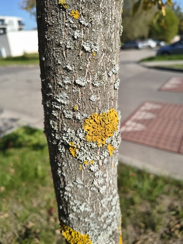
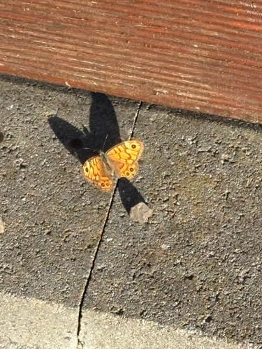
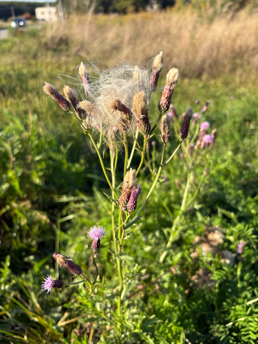
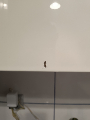
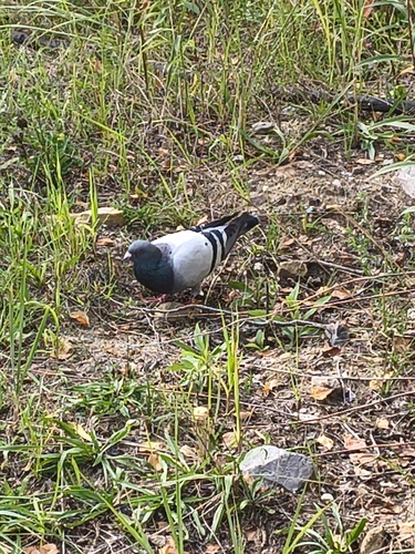
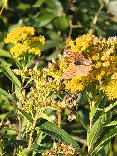
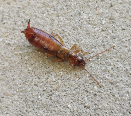
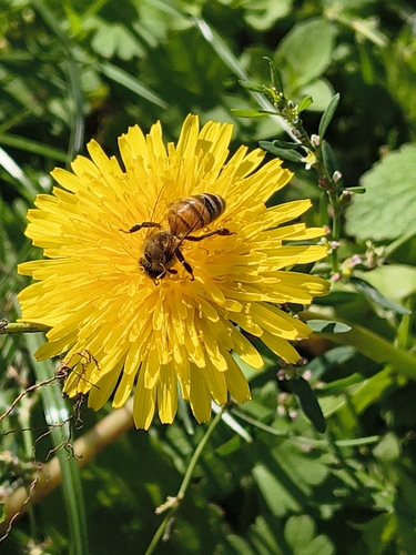
Research-grade observations from iNaturalist (within ~15 mi).
Events
Gallery
Official Identifiers
GUS — Statistics Poland
- SIMC code
- 0942630
- Population (Wikidata)
- 133,793
- Wikidata
- Q108679
SIMC place ID via Wikidata P4046
Sources
- • Wikipedia
- • Wikidata
- • iNaturalist
- • Open-Meteo / sunrise-sunset.org
- • Wikipedia Pageviews API
- • Open Library
- • GUS — Statistics Poland — SIMC place ID via Wikidata P4046