Browse / Poland / Warmia-Masuria / Ryn
Ryn
Warmia-Masuriatown

Ryn
Total population
2,765
Demographic figures from Statistics Poland (GUS). Overview below cites Wikipedia and may reference a different year.
City facts
Sister cities
Facts from Wikidata (CC0).
Overview
Ryn is a town in northeastern Poland located 19 km (12 mi) southwest of Giżycko, in the Warmian-Masurian Voivodeship, in Masuria. It had a population of 3,062 inhabitants as of December 31, 2004.
Read more on WikipediaHistory & geography
History
Grand Master Winrich von Kniprode of the Teutonic Knights built a fortress on the site of a former Old Prussian fortification in 1337. A settlement near the castle was first mentioned in documents in 1405. It was known as Ryne after the Rhine River, and was included within the komturship of Balga. Ryne later became known in Standard German as Rhein and in Polish as Ryn. Since the 15th century the population was mostly Polish. After the outbreak of the Thirteen Years’ War the castle was captured by the Prussian Confederation, at the request of which in 1454 King Casimir IV Jagiellon signed the act of incorporation of the region to the Kingdom of Poland. Later on, it was captured by the Teutonic Knights and was repeatedly besieged by the Confederation troops. The Komtur Haus zur Ryne was established in 1393, after which Rhein was the seat of a Komtur first until 1422; the Komturship was re-established in 1468, following the Second Peace of Thorn. The first Komtur of Rhein was , brother of Teutonic Grand Master Konrad von Wallenrode, while the best-known one was Rudolf von Tippelskirch, who was also involved in the colonisation of Prussia. After the secularisation of the State of the Teutonic Order Rhein was part of the Duchy of Prussia, a vassal state of Poland, in 1525, an "Amtshauptmann" office was established in Rhein, which remained in use until 1775. In the 16th century the town's and district's population was almost entirely Polish. A Nazi German prison was located in the town. After Germany's defeat in World War II, the town became part of Poland due to the borders changes dictated by the Potsdam Agreement.
Excerpted from the corresponding Wikipedia article (CC BY-SA).
Geography
Coordinates & boundaries from the US Census TIGER/Line shapefiles.
Climate
Air quality
Walkability
Amenities nearby
Wildlife & biodiversity
Earthquake history
Photos
Sights & places nearby
Notable people from here
Geography & sun
Elevation, sunrise/sunset and daylight from Open-Meteo. Solar climatology from NASA POWER.
Nearby airports
Public attention
Pageview totals from the Wikimedia Pageviews API.
Books about this place
Recent natural events nearby
Ground air-quality sensors
Recently spotted species
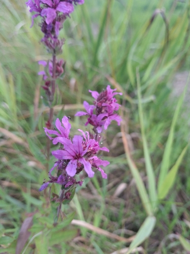
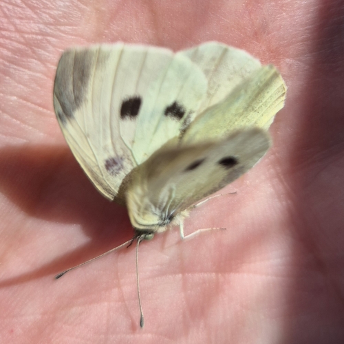
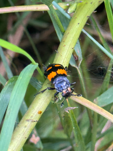
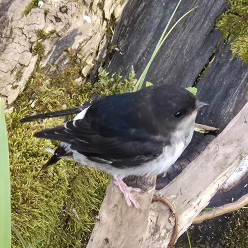
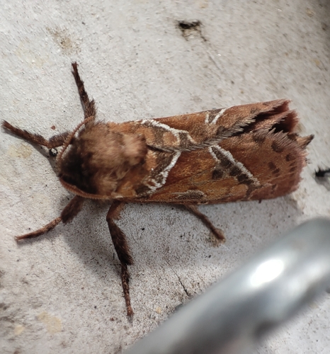
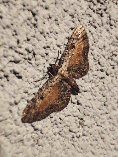
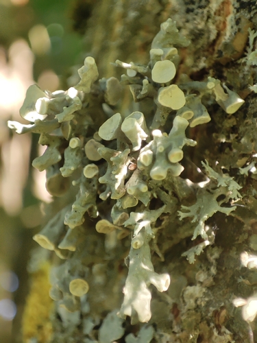
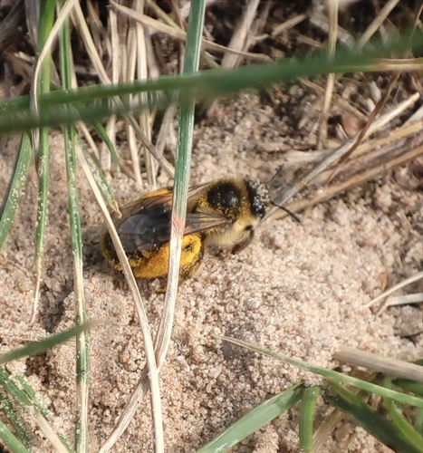
Research-grade observations from iNaturalist (within ~15 mi).
Events
Gallery
Sources
- • Wikipedia
- • Wikidata
- • iNaturalist
- • Open-Meteo / sunrise-sunset.org
- • Wikipedia Pageviews API