Browse / Poland / Świętokrzyskie / Rytwiany
Rytwiany
Świętokrzyskievillage

Rytwiany
Total population
1,821
Demographic figures from Statistics Poland (GUS). Overview below cites Wikipedia and may reference a different year.
City facts
Overview
Rytwiany is a village in Staszów County, Świętokrzyskie Voivodeship, in south-central Poland. It is the seat of the gmina called Gmina Rytwiany. It lies on the Czarna Staszowska river, approximately 5 km (3 mi) south-east of Staszów and 58 km (36 mi) south-east of the regional capital Kielce.
Read more on WikipediaHistory & geography
History
Rytwiany, which belongs to the historic province of Lesser Poland, has a rich and long history. First documented owner of the village was a nobleman named Piotr Bogoria Skotnicki (13th century), and across the centuries, Rytwiany belonged to a number of owners, including Cardinal Wojciech Jastrzębiec, Hieronymus Jaroslaw Łaski, the Lubomirski family, the Potocki family, the Radziwiłł family, and several others. In 1425–1436, Bishop Jastrzębiec built a defensive Gothic castle in Rytwiany, surrounded by the swamps of the Czarna river. The castle, partly destroyed in 1657 (see Deluge) was inhabited until the 19th century, then fell into a ruin, to be finally demolished in 1859. All that now remains of it is a fortified tower. In the early 17th century, when the village and the castle belonged to the Tęczyński family, it was a cultural center of the region. In 1621, upon request of Jan Tęczyński, Camaldolese monks settled here, building an abbey and a church. The monks moved to Warsaw in 1819, and their church now serves as a local parish church. In the late 19th century, the Radziwiłł family, who were the last owners of the village, built here a palace, which was remodelled in 2005 and now is a hotel. During the German occupation of Poland (World War II), the Polish resistance movement was active in the village, and Polish underground press was distributed in Rytwiany.
Excerpted from the corresponding Wikipedia article (CC BY-SA).
Geography
Coordinates & boundaries from the US Census TIGER/Line shapefiles.
Climate
Air quality
Walkability
Amenities nearby
Wildlife & biodiversity
Earthquake history
Photos
Sights & places nearby
Notable people from here


People born within ~10 km, from Wikidata (CC0). Click any name for their Wikipedia article.
Nearby places in Świętokrzyskie
- Święcica3.2 mi away · pop. 317
- Sichów Mały3.4 mi away · pop. 330
- Wola Wiśniowska4.6 mi away · pop. 120
- Wiśniowa4.9 mi away · pop. 600
- Strzegom5.3 mi away · pop. 519
- Wymysłów5.4 mi away · pop. 90
- Niemścice5.4 mi away · pop. 220
- Brody Duże5.5 mi away
- Lenartowice5.5 mi away
- Sztombergi5.6 mi away · pop. 240
- Poddębowiec6.2 mi away · pop. 150
- Łaziska6.5 mi away · pop. 200
Geography & sun
Elevation, sunrise/sunset and daylight from Open-Meteo. Solar climatology from NASA POWER.
Nearby airports
Public attention
Pageview totals from the Wikimedia Pageviews API.
Books about Rytwiany
Search results from Open Library.
Recent natural events nearby
Ground air-quality sensors
Recently spotted species
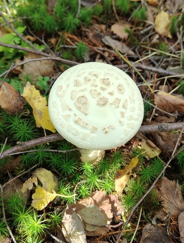
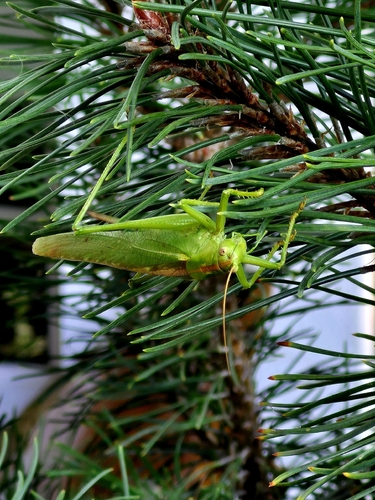
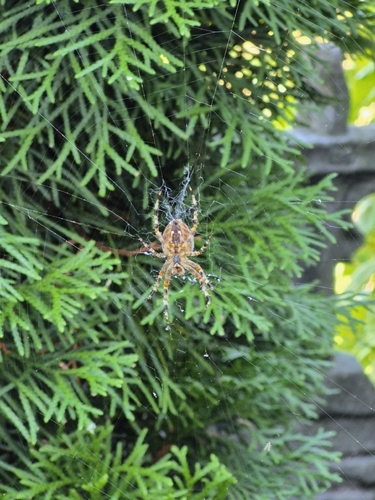
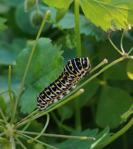
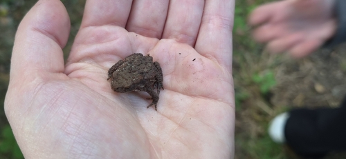
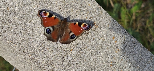
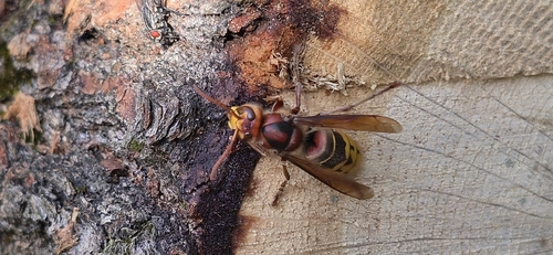
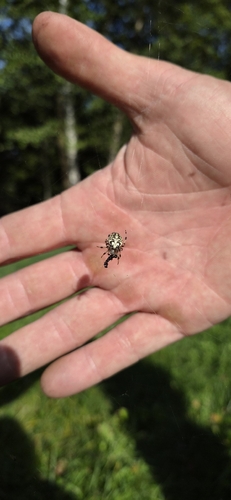
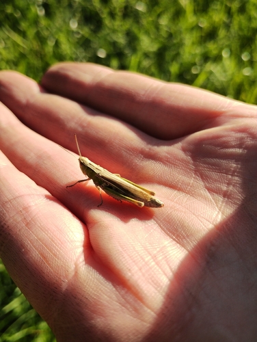
Research-grade observations from iNaturalist (within ~15 mi).
Events
Gallery
Official Identifiers
GUS — Statistics Poland
- SIMC code
- 0805755
- Population (Wikidata)
- 1,821
- Wikidata
- Q3079755
SIMC place ID via Wikidata P4046
Sources
- • Wikipedia
- • Wikidata
- • iNaturalist
- • Open-Meteo / sunrise-sunset.org
- • Wikipedia Pageviews API
- • Open Library
- • GUS — Statistics Poland — SIMC place ID via Wikidata P4046