Browse / Poland / Pomerania / Słupsk
Słupsk
Pomeraniacity

Słupsk
Total population
85,135
Demographic figures from Statistics Poland (GUS). Overview below cites Wikipedia and may reference a different year.
City facts
Sister cities
Facts from Wikidata (CC0).
Overview
Słupsk is a city with powiat rights located on the Słupia River in the Pomeranian Voivodeship in northern Poland, in the historical region of Pomerania or more specifically in its part known in contemporary Poland as Central Pomerania within the wider West Pomerania. According to Statistics Poland, it has a population of 88,835 inhabitants while occupying 43.15 square kilometres (16.66 sq mi), thus being one of the most densely populated cities in the country as of December 2021. In addition, the city is the administrative seat of Słupsk County and the rural Gmina Słupsk, despite belonging to neither.
Read more on WikipediaHistory & geography
History
Słupsk developed from a few medieval settlements located on the banks of the Słupia River, at the unique ford along the trade route connecting the territories of modern Pomeranian and West Pomeranian Voivodeships. This factor led to the construction of a grod, a West Slavic or Lechitic fortified settlement, on an islet in the middle of the river. Surrounded by swamps and mires, the fortress had perfect defence conditions. Archaeological research has shown that the grod was situated on an artificial hill and had a natural moat formed by the branches of the Słupia, and was protected by a palisade. Records confirm that the area of Słupsk was part of the Polish realm during the reign of Mieszko I and in the 11th century. According to several sources, the first historic reference to Słupsk comes from the year 1015, when the king of Poland Boleslaus I the Brave took over the town, incorporating it into the Polish state. In the 12th century, the town became one of the most important castellanies in Pomerania alongside Gdańsk and Świecie. However, several historians stated that the first mention was in two documents dating to 1227, signed by the Pomeranian dukes Wartislaw III and Barnim I and their mothers, confirming the establishment of an abbey in 1224 and donating estates, among them a village "in Stolp minore" or "in parvo Ztolp", respectively, to that abbey. Another document dated to 1180, which mentions a "castellania Slupensis" and would thus be the oldest surviving record, has been identified as a late 13th-century or 14th-century duplicate. In the earlier of the two 1236 documents, a Johann "castellanus de Slupcz" is mentioned as a witness, Schmidt considers this to be the earliest mention of the gard, since a castellany required the existence of a gard. The first…
Geography
Administratively, the city of Słupsk has the status of both an urban gmina and a city county (powiat). The city boundaries are generally artificial, with only short natural boundaries around the villages of Kobylnica and Włynkówko on the Słupia River. The boundaries have remained unchanged since 1949, when Ryczewo became a part of the city. Słupsk shares about three-quarters of its boundaries with the rural district called Gmina Słupsk, of which Słupsk is the administrative seat (although it is not part of the district). The city's other neighbouring district is Gmina Kobylnica, to the south-west. The Słupsk Special Economic Zone is not entirely contained within the city limits: a portion of it lies within Gmina Słupsk, while some smaller areas are at quite a distance from Słupsk (Debrzno), or even in another voivodeship (Koszalin, Szczecinek, Wałcz). The city has a fairly irregular shape, with its central point at Plac Zwycięstwa ("Victory Square") at . Słupsk lies in an pradolina of the Słupia River. The city centre is situated significantly lower than its western and easternmost portions. Divided into two almost equal parts by the river, Słupsk is hilly when compared to other cities in the region. About of the city's area is covered by forests, while is used for agricultural purposes. Słupsk is rich in natural water bodies. There are more than twenty ponds, mostly former meanders of the Słupia, within the city limits. There are also several streams, irrigation canals (generally unused and abandoned) and a leat. Except in the city centre, all these watercourses are unregulated. There is generally little human influence on landform features visible within the city limits. However, in the northwestern part of the city there is a huge hollow, a remnant of a…
Excerpted from the corresponding Wikipedia article (CC BY-SA).
Geography
Coordinates & boundaries from the US Census TIGER/Line shapefiles.
Climate
10-year averages from ERA5 reanalysis (Open-Meteo).
Air quality
Walkability
Amenities nearby
Wildlife & biodiversity
Earthquake history
Photos
Sights & places nearby
Notable people from here


People born within ~10 km, from Wikidata (CC0). Click any name for their Wikipedia article.
Nearby places in Pomerania
- Siemianice2.6 mi away · pop. 1,141
- Jezierzyce4 mi away · pop. 349
- Wieszyno4.1 mi away · pop. 270
- Wielogłowy5.2 mi away · pop. 160
- Grąsino5.5 mi away · pop. 522
- Machowino6 mi away · pop. 500
- Wrzeście6.4 mi away · pop. 483
- Warblewo6.5 mi away · pop. 267
- Kwakowo6.7 mi away · pop. 576
- Skarszów Górny7.1 mi away · pop. 271
- Mianowice7.2 mi away · pop. 310
- Skarszów Dolny7.7 mi away · pop. 55
Geography & sun
Elevation, sunrise/sunset and daylight from Open-Meteo. Solar climatology from NASA POWER.
Nearby airports
Public attention
Pageview totals from the Wikimedia Pageviews API.
Books about Słupsk

Search results from Open Library.
Recent natural events nearby
Ground air-quality sensors
Recently spotted species
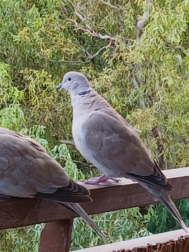
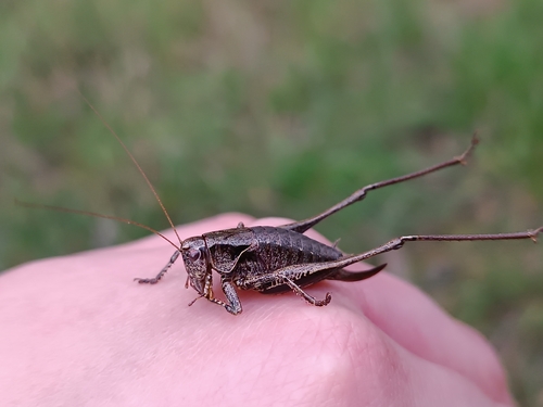
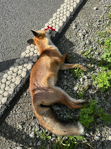
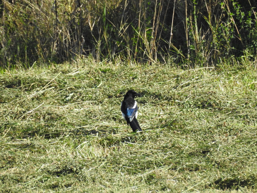
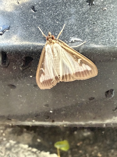
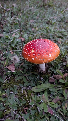
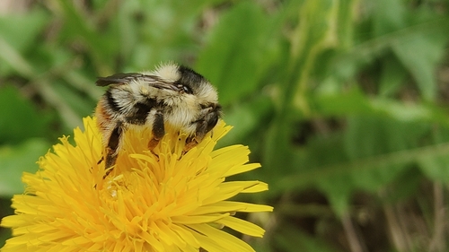
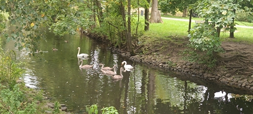
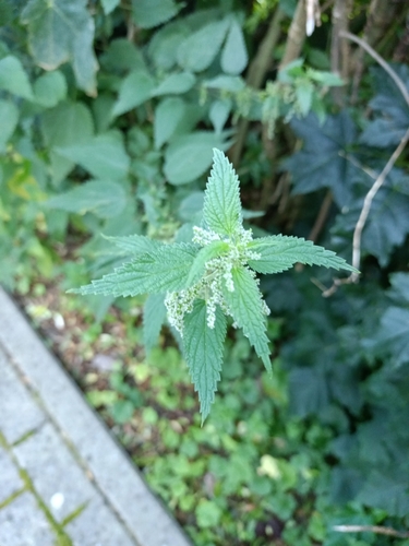
Research-grade observations from iNaturalist (within ~15 mi).
Events
Gallery
Official Identifiers
GUS — Statistics Poland
- SIMC code
- 0977278
- Population (Wikidata)
- 87,660
- Wikidata
- Q105048
SIMC place ID via Wikidata P4046
Sources
- • Wikipedia
- • Open-Meteo (ERA5 reanalysis)
- • Wikidata
- • iNaturalist
- • Open-Meteo / sunrise-sunset.org
- • Wikipedia Pageviews API
- • Open Library
- • GUS — Statistics Poland — SIMC place ID via Wikidata P4046