Browse / Poland / Masovia / Serock
Serock
Masoviatown

Serock
Total population
4,959
Demographic figures from Statistics Poland (GUS). Overview below cites Wikipedia and may reference a different year.
City facts
Facts from Wikidata (CC0).
Overview
Serock is a town at the north bank of the Zegrze lake in the Legionowo County, Masovian Voivodeship, in central Poland, around 40 kilometres north of Warsaw. It has 4,109 inhabitants (2013).
Read more on WikipediaHistory & geography
History
The stronghold was founded in the 10th century, shortly after the creation of the Polish state by the Piast dynasty. The first mention of the settlement dates from 1065 with the so-called "Falsyfikat mogileński," a document from the Benedictine monastery in Mogilno. The town is situated on the route which was the trade route leading from Gdańsk and Truso to Rus'. Between 1113 and 1124, Serock was also mentioned in a list as one of the most important princely castles of Mazovia, which operated a river crossing (the Bug and Narew rivers intersect beside Serock) with a customs house. During the fragmentation of Poland into smaller provincial duchies, Serock became part of the Duchy of Masovia, still ruled by the founding Piast dynasty. In 1417, Serock was granted town rights under Chełmno law by Janusz I of Warsaw. By then it was already a craft and commercial center. From this period the urban layout was created in the form of the market square and the late Gothic church of the parish. Serock was a royal town of the Polish Crown and county seat, administratively located in the Masovian Voivodeship in the Greater Poland Province. In the 15th and 17th century municipal courts were held there. From 1655 to 1660, during the Swedish invasion, the town was largely destroyed. After the Third Partition of Poland in 1795, it was located in the Prussian Partition. In 1807 it came under the possession of the short-lived Polish Duchy of Warsaw, and after its dissolution in 1815 it was part of so-called Congress Poland in the Russian Partition of Poland. Serock repeatedly was on the battle lines on the outskirts of Warsaw, including in 1794, 1809 and 1831. In 1806, on the orders of Napoleon I fortifications were built in Serock. From 1807 it was a fortress. During the…
Excerpted from the corresponding Wikipedia article (CC BY-SA).
Geography
Coordinates & boundaries from the US Census TIGER/Line shapefiles.
Climate
Air quality
Walkability
Amenities nearby
Wildlife & biodiversity
Earthquake history
Photos
Sights & places nearby
Notable people from here
Geography & sun
Elevation, sunrise/sunset and daylight from Open-Meteo. Solar climatology from NASA POWER.
Nearby airports
Public attention
Pageview totals from the Wikimedia Pageviews API.
Books about this place
Recent natural events nearby
Ground air-quality sensors
Recently spotted species

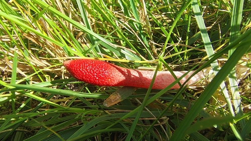
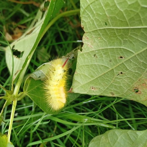
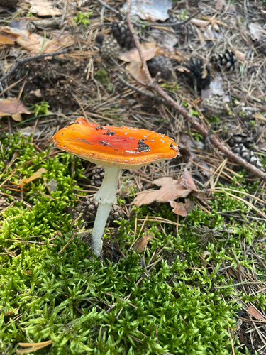
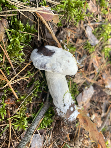




Research-grade observations from iNaturalist (within ~15 mi).
Events
Notable, recurring, and historical events associated with Serock, sourced from Wikidata.
- Q131262104Nov 15, 2024recurring event edition
Source: Wikidata (CC0).
Gallery
Official Identifiers
GUS — Statistics Poland
- SIMC code
- 0921645
- Population (Wikidata)
- 4,959
- Wikidata
- Q569838
SIMC place ID via Wikidata P4046
Sources
- • Wikipedia
- • Wikidata
- • iNaturalist
- • Open-Meteo / sunrise-sunset.org
- • Wikipedia Pageviews API
- • GUS — Statistics Poland — SIMC place ID via Wikidata P4046