Browse / Poland / West Pomerania / Sianów
Sianów
West Pomeraniatown

Sianów
Total population
6,545
Demographic figures from Statistics Poland (GUS). Overview below cites Wikipedia and may reference a different year.
City facts
Sister cities
Facts from Wikidata (CC0).
Overview
Sianów is a town in northern Poland, in West Pomeranian Voivodeship, in Koszalin County. It is the seat of Gmina Sianów. It has 6,555 inhabitants (2010).
Read more on WikipediaHistory & geography
History
The territory became part of the emerging Polish state under its first ruler Mieszko I by . At various times, Sianów was part of the eastern and western duchies of Pomerania, formed as a result of the medieval fragmentation of Poland into smaller duchies. It was possibly a possession of the East Pomeranian Swienca family. In 1353, the town was possibly purchased by the Bishop of Kamień, however, the actual status is not known, as in 1372 it was noted as a ducal possession and in 1386 as a diocesan possession. In 1833, some 100 former Polish insurgents built the road connecting Sianów and Koszalin, part of the longer road connecting Gdańsk and Szczecin. In 1877, a road connecting Sianów with the railway station in nearby Skibno was built. Four annual fairs were held in the town in the late 19th century. During World War II, Nazi Germany operated a forced labour subcamp of the Stalag II-B prisoner-of-war camp in the town. In March 1945, liberated forced labourer August Turzyński became the mayor of Sianów.
Excerpted from the corresponding Wikipedia article (CC BY-SA).
Geography
Coordinates & boundaries from the US Census TIGER/Line shapefiles.
Climate
Air quality
Walkability
Amenities nearby
Wildlife & biodiversity
Earthquake history
Photos
Sights & places nearby
Notable people from here
Nearby places in West Pomerania
Geography & sun
Elevation, sunrise/sunset and daylight from Open-Meteo. Solar climatology from NASA POWER.
Nearby airports
Public attention
Pageview totals from the Wikimedia Pageviews API.
Books about this place
Recent natural events nearby
Ground air-quality sensors
Recently spotted species
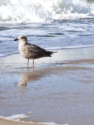
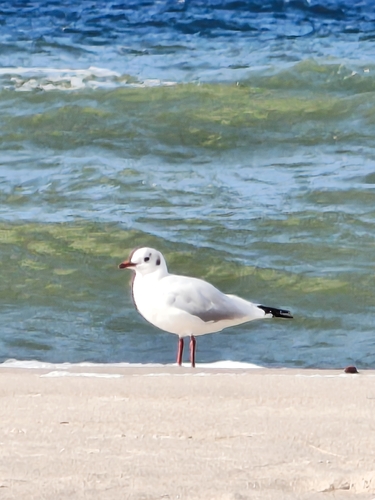
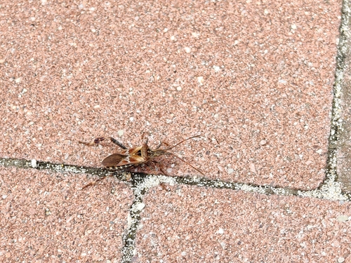
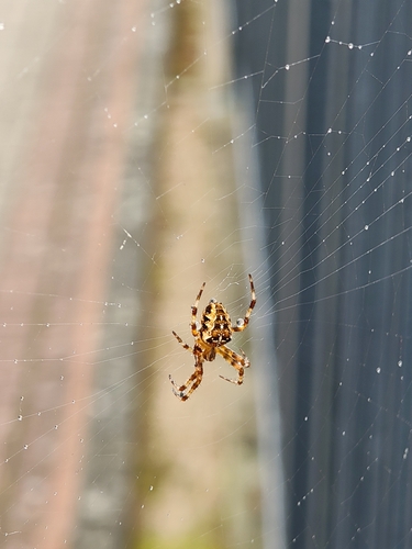
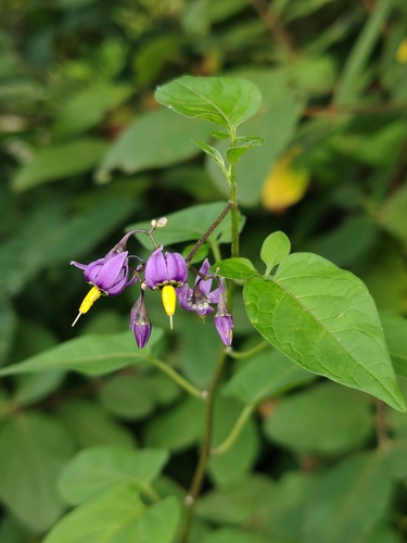
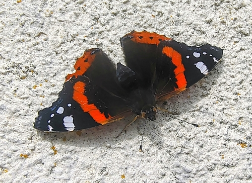
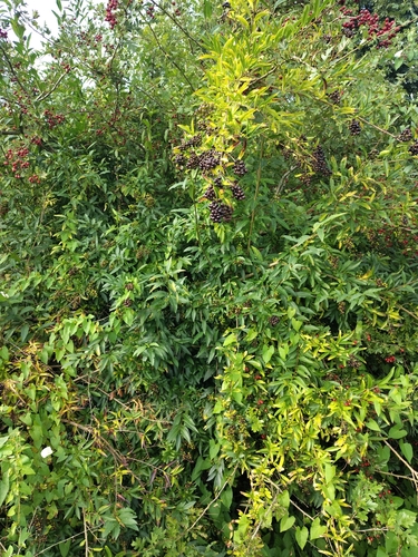
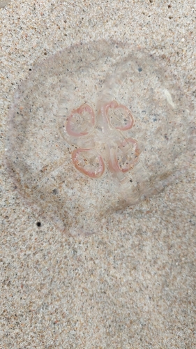
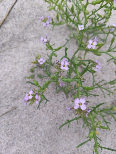
Research-grade observations from iNaturalist (within ~15 mi).
Events
Gallery
Official Identifiers
GUS — Statistics Poland
- SIMC code
- 0950240
- Population (Wikidata)
- 6,545
- Wikidata
- Q988586
SIMC place ID via Wikidata P4046
Sources
- • Wikipedia
- • Wikidata
- • iNaturalist
- • Open-Meteo / sunrise-sunset.org
- • Wikipedia Pageviews API
- • GUS — Statistics Poland — SIMC place ID via Wikidata P4046