Browse / Poland / Subcarpathia / Strzyżów
Strzyżów
Subcarpathiatown

Strzyżów
Total population
8,588
Founded
1373
Demographic figures from Statistics Poland (GUS). Overview below cites Wikipedia and may reference a different year.
City facts
Facts from Wikidata (CC0).
Overview
Strzyżów is a town in Strzyżów County, Subcarpathian Voivodeship, Poland, along the Wisłok river valley. Strzyżów is one of the towns within the Strzyżowsko-Dynowskie Foothill, located 160 kilometres south-east of Kraków and 30 km (19 mi) from Rzeszów. According to statistics from 30 June 2010 from GUS, there are 8,782 inhabitants.
Read more on WikipediaHistory & geography
History
The history of Strzyżów dates back to the 9th century, to the times of the Wiślanie tribe (Vistulans) when a legendary pagan Vistulan prince is said to have built a watchtower by Stobnica and Wisłok river called "Strzeżno", for the defence of eastern borders of his land. In 1279, in Buda (Hungary), the Pope's legate named Bishop Philip confirmed the abbot's right to take a special tax (a tithe) from Czudec and Strzyżów. Strzyżów obtained town rights between 1373 and 1397. The town was surrounded by a soil defence embankment (Zawale Street still exists and it relates to that embankment). These were the times of town splendour and its development, craft, farming and trade contracts with other towns in what is now Poland, Hungary and Slovakia. In 1373, Strzyżów came into the hands of a knight, Wojtko, and later Pakosz and his sons Jan and Mikołaj. With time the town changed its owners. On 15 August 1769 the Bar Confederates made an oath in front of the painting of Immaculate Mary in Strzyżów, in the presence of Casimir Pulaski and Franciszek Trzecielski. After this event, that image appeared on the Confederates’ Banner. In 1796 the foundation of secular school strengthened town development as well as royal permission for organisation of four fairs a year from 1684. Following the partitions of Poland in the late 18th century, the town became part of Austrian Galicia. Throughout its history Strzyżów suffered from as many as nine fires, the last one in 1895 caused the populace to build buildings solely from brick. By 1880 Strzyżów was inhabited mostly by Poles, but there were also significant minorities such as the Jews and the Germans. In 1918, the town returned to Poland (Second Polish Republic), within which it was a county seat in the Lwów Voivodeship. In 1925, town…
Excerpted from the corresponding Wikipedia article (CC BY-SA).
Geography
Coordinates & boundaries from the US Census TIGER/Line shapefiles.
Climate
Air quality
Walkability
Amenities nearby
Wildlife & biodiversity
Most-observed species
- Great TitParus major Linnaeus, 1758 · Aves544
- Eurasian MagpiePica pica (Linnaeus, 1758) · Aves510
- Western JackdawColoeus monedula (Linnaeus, 1758) · Aves429
- Eurasian Blue TitCyanistes caeruleus (Linnaeus, 1758) · Aves421
- FieldfareTurdus pilaris Linnaeus, 1758 · Aves413
- Eurasian BlackbirdTurdus merula Linnaeus, 1758 · Aves404
- European StarlingSturnus vulgaris Linnaeus, 1758 · Aves384
- Great Spotted WoodpeckerDendrocopos major (Linnaeus, 1758) · Aves378
Citizen-science & research observations from the Global Biodiversity Information Facility (GBIF).
Earthquake history
Most recent
- M 5 — 2023-10-0915 km SE of Stropkov, Slovakia
Events from the USGS Earthquake Catalog (global) (FDSN Event Web Service).
Photos
Sights & places nearby
Notable people from here


People born within ~10 km, from Wikidata (CC0). Click any name for their Wikipedia article.
Nearby places in Subcarpathia
Geography & sun
Elevation, sunrise/sunset and daylight from Open-Meteo. Solar climatology from NASA POWER.
Nearby airports
Public attention
Pageview totals from the Wikimedia Pageviews API.
Books about this place
Recent natural events nearby
Ground air-quality sensors
Recently spotted species
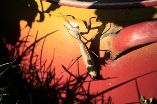
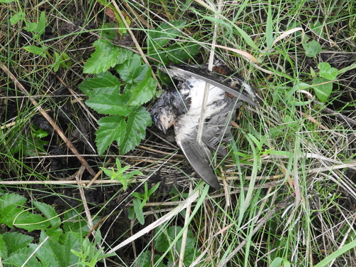
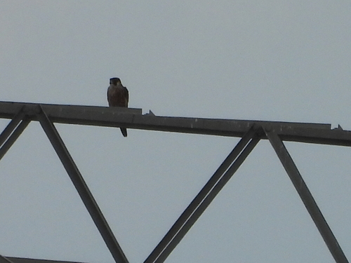
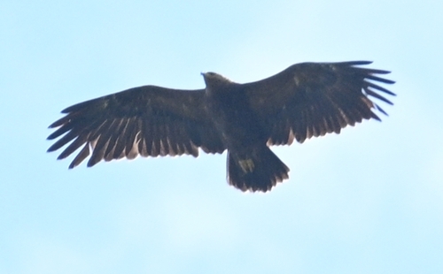
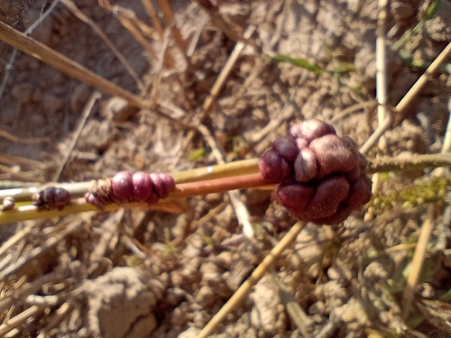
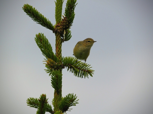
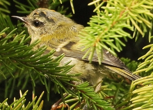
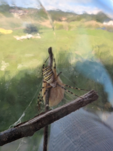
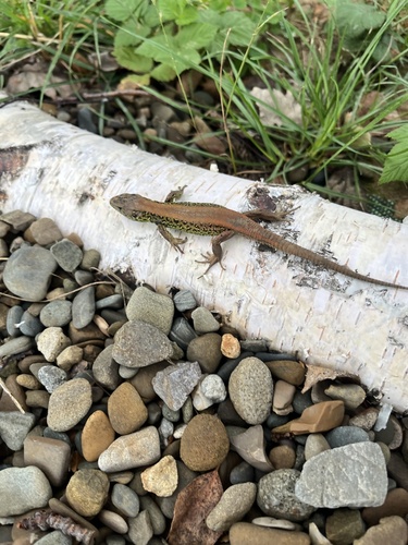
Research-grade observations from iNaturalist (within ~15 mi).
Events
Gallery
Sources
- • Wikipedia
- • Wikidata
- • USGS Earthquake Catalog (global feed)
- • GBIF (Global Biodiversity Information Facility)
- • iNaturalist
- • Open-Meteo / sunrise-sunset.org
- • Wikipedia Pageviews API