Browse / Poland / Silesia / Tychy
Tychy
Silesiacity

Tychy
Total population
124,882
Founded
1467
Demographic figures from Statistics Poland (GUS). Overview below cites Wikipedia and may reference a different year.
City facts
Sister cities
Facts from Wikidata (CC0).
Overview
Tychy is a city in Silesia in southern Poland, approximately 20 kilometres (12 mi) south of Katowice. Situated on the southern edge of the Upper Silesian industrial district, the city borders Katowice to the north, Mikołów to the west, Bieruń to the east and Kobiór to the south. The Gostynia river, a tributary of the Vistula, flows through Tychy.
Read more on WikipediaHistory & geography
History
Originally established as a small agricultural settlement on the medieval trade route between Oświęcim and Mikołów, Tychy was first documented in 1467. In 1629 the first trace of serious economic activity was recorded in the shape of the Książęcy Brewery, which is now one of the largest breweries in Poland. From 1526 onwards the area on which Tychy is built was part of the Austrian Habsburg monarchy. In 1742 Prussia annexed the land after winning the First Silesian War against the Habsburg monarchy. From 1871 to 1918, the territory became part of the German Empire. For a short period between 1918 and 1921, Tychy was just inside the border of the newly formed Weimar Republic and still a part of the German Province of Silesia. On 16–17 August 1919 the (present-day district of Tychy) was fought as one of the first battles of the Silesian Uprisings (1919–1921). In the 1921 plebiscite, in Tychy 83.5% voted for reintergration with Poland, while in then surrounding settlements (present-day districts) of Cielmice, Jaroszowice, Paprocany, Urbanowice, Wilkowyje, the result ranged from 88.2% voting for Poland in Wilkowyje to 94.4% in Cielmice. After the uprisings Tychy was reintegrated with the re-established Polish state. Shortly after its cession to Poland, Tychy began to develop into a small urban settlement, acquiring a hospital, a fire station, a post office, a school, a swimming pool, a bowling hall and a number of shops and restaurants. In 1922 it was visited by leader of interwar Poland, Józef Piłsudski. while many of its inhabitants who were not expelled or exterminated were forced to change their nationality to German in order to comply with the racist policies of Nazi Germany. Mass arrests and executions of Polish activists and former Polish insurgents of 1919–1921…
Excerpted from the corresponding Wikipedia article (CC BY-SA).
Geography
Coordinates & boundaries from the US Census TIGER/Line shapefiles.
Climate
Air quality
Walkability
Amenities nearby
Wildlife & biodiversity
Earthquake history
Photos
Sights & places nearby
Notable people from here


People born within ~10 km, from Wikidata (CC0). Click any name for their Wikipedia article.
Nearby places in Silesia
- Świerczyniec4.5 mi away · pop. 973
- Gostyń5.1 mi away · pop. 4,532
- Nowe Bojszowy5.4 mi away · pop. 1,192
- Międzyrzecze6.9 mi away · pop. 754
- Miedźna9.8 mi away · pop. 1,745
- Chełm Mały10.1 mi away
- Poręba10.1 mi away
- Rudziczka11.9 mi away · pop. 1,152
- Paniówki12.5 mi away · pop. 2,297
- Kaniów12.7 mi away · pop. 3,500
- Bestwinka13.2 mi away
- Stanowice14.3 mi away · pop. 2,254
Geography & sun
Elevation, sunrise/sunset and daylight from Open-Meteo. Solar climatology from NASA POWER.
Nearby airports
Public attention
Pageview totals from the Wikimedia Pageviews API.
Books about Tychy


Search results from Open Library.
Recent natural events nearby
Ground air-quality sensors
Recently spotted species
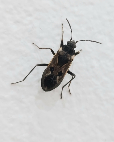
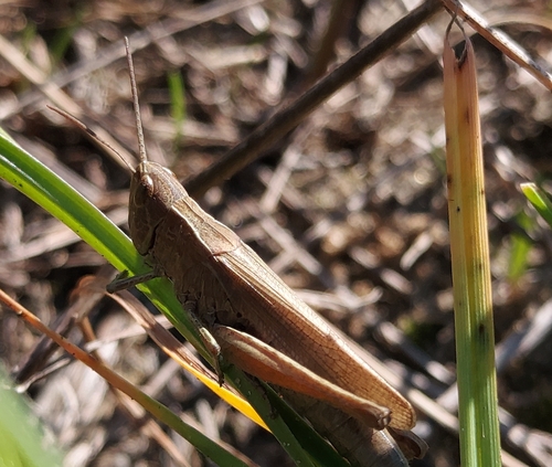
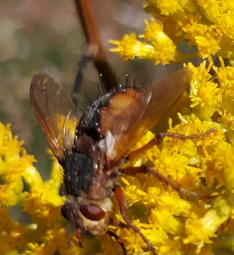
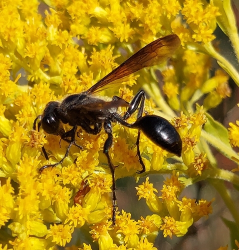
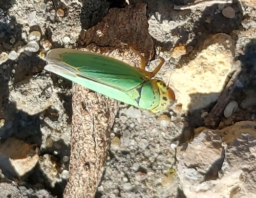
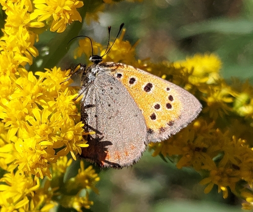
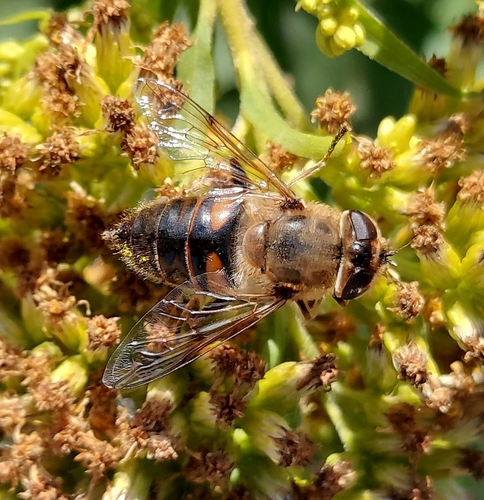
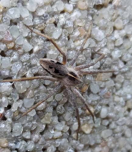
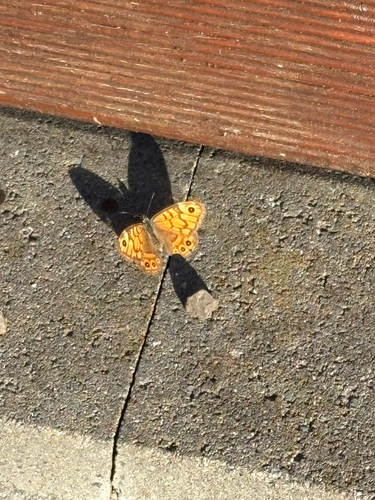
Research-grade observations from iNaturalist (within ~15 mi).
Events
Gallery
Official Identifiers
GUS — Statistics Poland
- SIMC code
- 0944534
- Population (Wikidata)
- 124,882
- Wikidata
- Q11977
SIMC place ID via Wikidata P4046
Sources
- • Wikipedia
- • Wikidata
- • iNaturalist
- • Open-Meteo / sunrise-sunset.org
- • Wikipedia Pageviews API
- • Open Library
- • GUS — Statistics Poland — SIMC place ID via Wikidata P4046