Browse / Poland / Warmia-Masuria / Węgorzewo
Węgorzewo
Warmia-Masuriatown

Węgorzewo
Total population
10,879
Air quality index
Demographic figures from Statistics Poland (GUS). Overview below cites Wikipedia and may reference a different year.
City facts
Facts from Wikidata (CC0).
Overview
Węgorzewo is a tourist town on the Angrapa River in northeastern Poland, within the ethnographic region of Masuria. It is the seat of Węgorzewo County in the Warmian-Masurian Voivodeship and is located not far from the border with Russia's Kaliningrad Oblast. Lake Mamry is close to the town.
Read more on WikipediaHistory & geography
History
The town was first mentioned in a 1335 chronicle as Angirburg, or "eel castle", a settlement of the Teutonic Knights with a block house, a palisade, and a watchtower. A 1341 document reported that the Teutonic Order had bestowed land on the river Angerapp (Angrapa) upon twelve Old Prussians for their loyal service. The Grand Duke of Lithuania, Kęstutis, destroyed the castle in 1365, although it was rebuilt in 1398. After the subsequent Thirteen Years' War, since 1466, it formed part of Poland as a fief. The land around the castle began to be settled by the end of the 15th century. As it was primarily farmland, the Lake Mamry was blocked up to allow the construction of a watermill. Ca. 1510 a locality known as Neudorf ("new village") or Gerothwol had developed near the Angerburg. After the foundation of the Duchy of Prussia as a fief of the Kingdom of Poland in 1525, Angerburg/Węgobork became the seat of a district head. It was granted town rights in 1571. The Polish inhabitants called the city by its Polish name Węgobork. A large part of the town was destroyed by a fire in 1608, including a wooden church and the 20-year-old town hall. Being situated in Masuria, in the transition area with the ethnographic region of Lithuania Minor, Węgobork/Angerburg had a Polish majority with sizable minorities of Germans and Lithuanians. The town suffered from the Swedish-Polish Wars, attacks by the Tatars, and plague epidemics, the last outbreak of which occurred in 1710 and claimed 1,111 victims. To help repopulate the town, 48 people from Salzburg, Austria were resettled here in 1732. The Lithuanian minority diminished after the 16th and 17th centuries, while Poles still formed the majority of the district's population in the early 19th century (52% in 1825). Angerburg became…
Excerpted from the corresponding Wikipedia article (CC BY-SA).
Geography
Coordinates & boundaries from the US Census TIGER/Line shapefiles.
Climate
Air quality
Current readings from Open-Meteo Air Quality API (Copernicus CAMS European reanalysis).
Walkability
Amenities nearby
Wildlife & biodiversity
Most-observed species
- Culicoides dewulfi Goetghebuer, 1936Culicoides dewulfi Goetghebuer, 1936 · Insecta72
- Culicoides chiopterus (Meigen, 1830)Culicoides chiopterus (Meigen, 1830) · Insecta72
- Common CraneGrus grus (Linnaeus, 1758) · Aves67
- MallardAnas platyrhynchos Linnaeus, 1758 · Aves46
- Great Cormorant/European ShagPhalacrocorax carbo (Linnaeus, 1758) · Aves36
- Common ChaffinchFringilla coelebs Linnaeus, 1758 · Aves36
- Mute SwanCygnus olor (J.F.Gmelin, 1789) · Aves36
- Great Crested GrebePodiceps cristatus (Linnaeus, 1758) · Aves33
Citizen-science & research observations from the Global Biodiversity Information Facility (GBIF).
Earthquake history
Events from the USGS Earthquake Catalog (global) (FDSN Event Web Service).
Photos
Sights & places nearby
Notable people from here


People born within ~10 km, from Wikidata (CC0). Click any name for their Wikipedia article.
Nearby places in Warmia-Masuria
Geography & sun
Elevation, sunrise/sunset and daylight from Open-Meteo. Solar climatology from NASA POWER.
Nearby airports
Public attention
Pageview totals from the Wikimedia Pageviews API.
Books about this place
Recent natural events nearby
Ground air-quality sensors
Recently spotted species
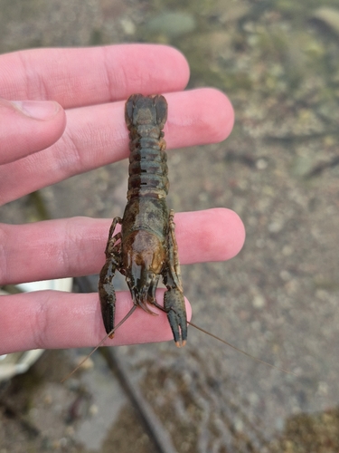
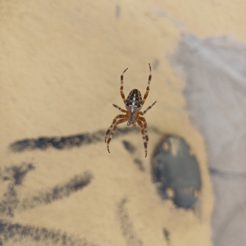
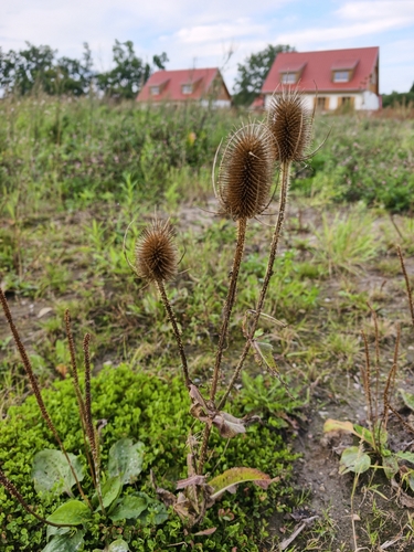
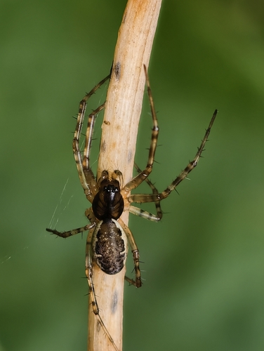
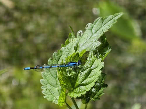
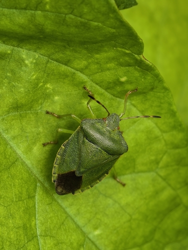
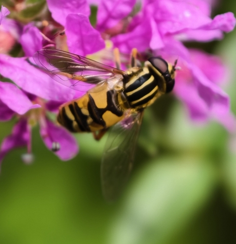
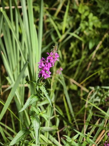
Research-grade observations from iNaturalist (within ~15 mi).
Events
Gallery
Geotagged photos within ~6 miles of Węgorzewo, from Wikimedia Commons contributors.
 0 mi
0 mi 0.1 mi
 0.1 mi
 0.1 mi
 0.1 mi
 0.1 mi
 0.1 mi
 0.1 mi
 0.1 mi
.jpg) 0.2 mi
0.2 mi.jpg) 0.2 mi
0.2 mi.jpg) 0.2 mi
0.2 mi.jpg) 0.2 mi
0.2 mi.jpg) 0.2 mi
0.2 mi.jpg) 0.2 mi
0.2 mi 0.2 mi
 0.2 mi
 0.2 mi
 0.2 mi
 0.2 mi
 0.2 mi
 0.2 mi
 0.2 mi
 0.2 mi
Photos via Wikimedia Commons — see each image page for license & attribution.
Sources
- • Wikipedia
- • Wikimedia Commons
- • Wikidata
- • Open-Meteo Air Quality (CAMS)
- • USGS Earthquake Catalog (global feed)
- • GBIF (Global Biodiversity Information Facility)
- • iNaturalist
- • Open-Meteo / sunrise-sunset.org
- • Wikipedia Pageviews API