Browse / Poland / Lubusz / Witnica
Witnica
Lubusztown

Witnica
Total population
6,524
Founded
1261
Air quality index
Demographic figures from Statistics Poland (GUS). Overview below cites Wikipedia and may reference a different year.
City facts
Facts from Wikidata (CC0).
Overview
Witnica is a town in western Poland, situated in the Lubusz Voivodeship, with 6,747 inhabitants (2019).
Read more on WikipediaHistory & geography
History
Along with Lubusz Land it was part of medieval Poland, and later it was also under the rule of Brandenburg, the Czech Crown, Prussia, and between 1871 and 1945 it was part of Germany, located in the Prussian Province of Brandenburg. The Germans brought Polish prisoners of war for forced labour to the town during World War II. In the final stages of World War II, half of the population fled before the Red Army captured the town in February 1945. Polish POWs were liberated. After Nazi Germany's defeat in World War II, the area was reintegrated into Poland. The remaining German population was expelled in accordance with the Potsdam Agreement. New Polish settlers, mostly expellees from the former eastern territories annexed by the Soviet Union, moved to the town. War damage was not significant, reaching 8% of the buildings. The ruins were dismantled to obtain bricks for the reconstruction of Warsaw destroyed by the Germans.
Excerpted from the corresponding Wikipedia article (CC BY-SA).
Geography
Coordinates & boundaries from the US Census TIGER/Line shapefiles.
Climate
Air quality
Current readings from Open-Meteo Air Quality API (Copernicus CAMS European reanalysis).
Walkability
Amenities nearby
Wildlife & biodiversity
Most-observed species
- Common CraneGrus grus (Linnaeus, 1758) · Aves561
- Graylag GooseAnser anser (Linnaeus, 1758) · Aves559
- Mute SwanCygnus olor (J.F.Gmelin, 1789) · Aves559
- White-tailed EagleHaliaeetus albicilla (Linnaeus, 1758) · Aves544
- MallardAnas platyrhynchos Linnaeus, 1758 · Aves496
- Hooded CrowCorvus cornix Linnaeus, 1758 · Aves478
- Gray/Purple HeronArdea cinerea Linnaeus, 1758 · Aves470
- Eurasian SkylarkAlauda arvensis Linnaeus, 1758 · Aves469
Citizen-science & research observations from the Global Biodiversity Information Facility (GBIF).
Earthquake history
Events from the USGS Earthquake Catalog (global) (FDSN Event Web Service).
Photos
Sights & places nearby
Notable people from here


People born within ~10 km, from Wikidata (CC0). Click any name for their Wikipedia article.
Nearby places in Lubusz
- Trześniów13.6 mi away · pop. 170
- Spudłów14.6 mi away · pop. 70
- Łagodzin14.8 mi away · pop. 398
- Drogomin15.1 mi away · pop. 200
- Górzyca16.2 mi away · pop. 1,539
- Długoszyn16.4 mi away
- Smogóry16.7 mi away · pop. 750
- Żubrów16.8 mi away
- Grabno16.9 mi away · pop. 170
- Owczary17.1 mi away · pop. 116
- Radówek17.2 mi away · pop. 210
- Radów17.4 mi away · pop. 280
Geography & sun
Elevation, sunrise/sunset and daylight from Open-Meteo. Solar climatology from NASA POWER.
Nearby airports
Public attention
Pageview totals from the Wikimedia Pageviews API.
Books about this place
Recent natural events nearby
Ground air-quality sensors
Recently spotted species
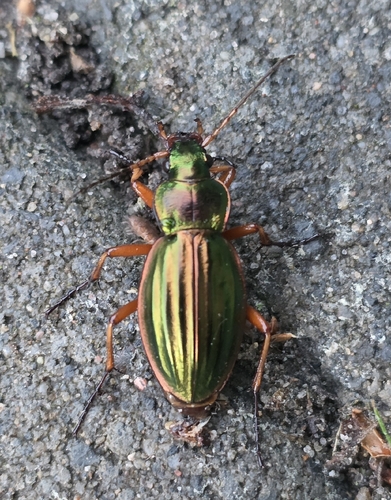
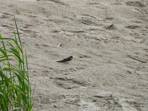
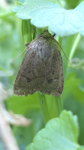
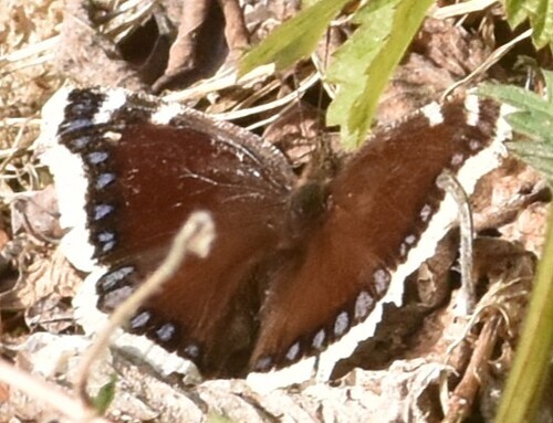
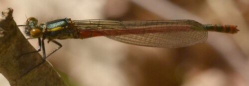
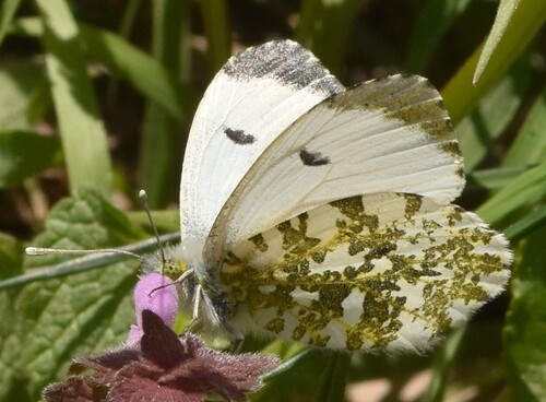
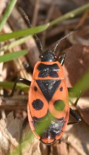
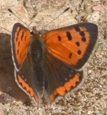
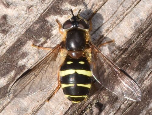
Research-grade observations from iNaturalist (within ~15 mi).
Events
Gallery
Geotagged photos within ~6 miles of Witnica, from Wikimedia Commons contributors.
 0 mi
0 mi_4.jpg) 0 mi
0 mi_6.jpg) 0 mi
0 mi.jpg) 0 mi
0 mi 0.1 mi
 0.1 mi
 0.1 mi
.jpg) 0.1 mi
0.1 mi.jpg) 0.1 mi
0.1 mi 0.1 mi
.jpg) 0.1 mi
0.1 mi 0.1 mi
 0.1 mi
 0.1 mi
_2.jpg) 0.1 mi
0.1 mi_1.jpg) 0.1 mi
0.1 mi_3.jpg) 0.1 mi
0.1 mi_5.jpg) 0.1 mi
0.1 mi_7.jpg) 0.1 mi
0.1 mi_8.jpg) 0.1 mi
0.1 mi_9.jpg) 0.1 mi
0.1 mi 0.1 mi
 0.1 mi
 0.1 mi
Photos via Wikimedia Commons — see each image page for license & attribution.
Official Identifiers
GUS — Statistics Poland
- SIMC code
- 0935794
- Population (Wikidata)
- 6,524
- Wikidata
- Q988636
SIMC place ID via Wikidata P4046
Sources
- • Wikipedia
- • Wikimedia Commons
- • Wikidata
- • Open-Meteo Air Quality (CAMS)
- • USGS Earthquake Catalog (global feed)
- • GBIF (Global Biodiversity Information Facility)
- • iNaturalist
- • Open-Meteo / sunrise-sunset.org
- • Wikipedia Pageviews API
- • GUS — Statistics Poland — SIMC place ID via Wikidata P4046