Browse / Poland / Silesia / Wojkowice
Wojkowice
Silesiatown

Wojkowice
Total population
8,437
Demographic figures from Statistics Poland (GUS). Overview below cites Wikipedia and may reference a different year.
City facts
Overview
Wojkowice is a town in the Silesian Voivodeship in southern Poland, located in the Dąbrowa Basin, near Katowice. Wojkowice is located in the Silesian Highlands, on the Brynica river, and historically belongs to Lesser Poland. Its name comes from ancient Polish given name Wojek, which might have been a diminutive of Wojslaw. Several other locations in Poland have been named in a similar fashion – Wojslawice, Wojkowo, Wojkow, Wojkowa.
Read more on WikipediaHistory & geography
History
The settlement of Wojkowice Komorne was first mentioned in 1271, while the existence of Żychcice (Zyhcych) was first documented in 1277. In that year, a Roman Catholic parish was opened in nearby Kamień, together with church of St. Peter and Paul. The area of Wojkowice was probably destroyed in the devastating Mongol invasion of Poland (1240s). Jan Długosz in his works mentions Wojkowice, but does not write about Żychcice. In the late Middle Ages, the area belonged to the Silesian Dukes of Bytom and Cieszyn, who after Mongol raids initiated a program of settlement, founding several new villages. In the 15th century the area of Wojkowice became property of Bishops of Kraków, as part of Duchy of Siewierz. In the 1470s Jan Długosz wrote in his Liber beneficiorum that Wojkowice Komorne was a village in the parish of Siewierz. The Duchy of Siewierz existed until 1790, when it was merged with the Kraków Voivodeship of the Lesser Poland Province. In the late 1780s, the population of Wojkowice Komorne was 214, with 32 houses. Iron ore was already mined in the area. Both villages (Wojkowice Komorne and Żychcice) remained part of Polish–Lithuanian Commonwealth until 1795. After the Third Partition of Poland, the territory of former Duchy of Siewierz was seized by the Kingdom of Prussia, as part of the newly established province of New Silesia (October 1795). Prussian authorities invested heavily in industrialization of the region. In 1797 they opened a small coal mine, and employed a number of residents of the province in the enterprises located in the Province of Silesia. During the Napoleonic Wars, New Silesia was annexed into the Duchy of Warsaw, ending 12 years of Prussian rule. In 1807, Wojkowice became part of Kalisz Department, Lelów- Siewierz County. In 1815, the Duchy…
Excerpted from the corresponding Wikipedia article (CC BY-SA).
Geography
Coordinates & boundaries from the US Census TIGER/Line shapefiles.
Climate
Air quality
Walkability
Amenities nearby
Wildlife & biodiversity
Earthquake history
Photos
Sights & places nearby
Notable people from here
Nearby places in Silesia
- Bobrowniki2.3 mi away
- Dobieszowice2.5 mi away · pop. 1,891
- Góra Siewierska3.2 mi away · pop. 845
- Psary3.4 mi away · pop. 2,717
- Brzękowice Górne4.4 mi away · pop. 214
- Goląsza Górna5 mi away · pop. 204
- Dąbie5.2 mi away · pop. 850
- Dąbie Górne5.4 mi away
- Zawada5.6 mi away · pop. 159
- Celiny5.9 mi away · pop. 238
- Sadowie6 mi away · pop. 389
- Kuźnica Podleśna7.3 mi away
Geography & sun
Elevation, sunrise/sunset and daylight from Open-Meteo. Solar climatology from NASA POWER.
Nearby airports
Public attention
Pageview totals from the Wikimedia Pageviews API.
Books about Wojkowice
Search results from Open Library.
Recent natural events nearby
Ground air-quality sensors
Recently spotted species
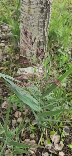
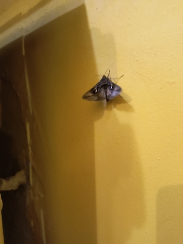
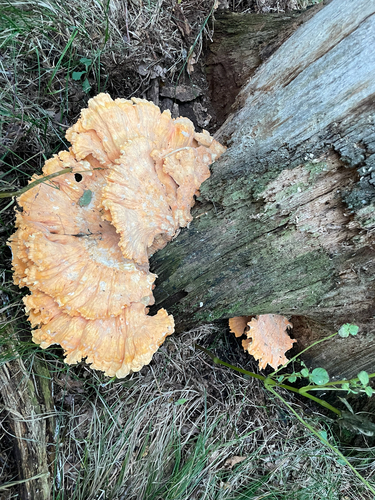
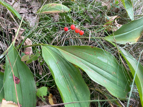
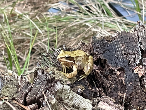
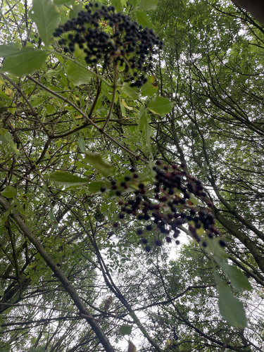
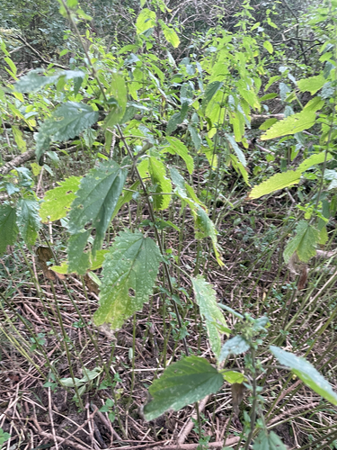
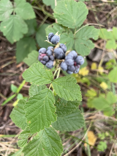
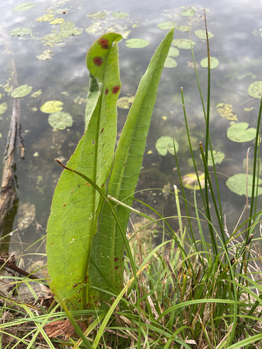
Research-grade observations from iNaturalist (within ~15 mi).
Events
Gallery
Official Identifiers
GUS — Statistics Poland
- SIMC code
- 0945232
- Population (Wikidata)
- 8,604
- Wikidata
- Q985640
SIMC place ID via Wikidata P4046
Sources
- • Wikipedia
- • iNaturalist
- • Open-Meteo / sunrise-sunset.org
- • Wikipedia Pageviews API
- • Open Library
- • GUS — Statistics Poland — SIMC place ID via Wikidata P4046