Browse / Poland / Lower Silesia / Wrocław
Wrocław
Lower Silesiacity

Wrocław
Total population
893,506
Demographic figures from Statistics Poland (GUS). Overview below cites Wikipedia and may reference a different year.
City facts
Facts from Wikidata (CC0).
Overview
Wrocław is a city in southwestern Poland, and the capital of the Lower Silesian Voivodeship. It is the largest city and historical capital of the regions of Silesia and Lower Silesia. It lies on the banks of the Oder (Odra) River in the Silesian Lowlands. In 2025, the official population of Wrocław was 672,545, making it the third-largest city in Poland. The population of the Wrocław metropolitan area is around 1.25 million.
Read more on WikipediaHistory & geography
History
In ancient times, there was a place called Budorigum at or near the site of Wrocław. It was already mapped on Claudius Ptolemy's map of AD 142–147. Settlements in the area existed from the 6th century onward during the migration period. The Ślężans, a West Slavic tribe, settled on the Oder river and erected a fortified gord on Ostrów Tumski. Wrocław originated at the intersection of two trade routes, the Via Regia and the Amber Road. Archeological research conducted in the city indicates that it was founded around 940. In 985, Duke Mieszko I of Poland conquered Silesia, and constructed new fortifications on Ostrów. The town was mentioned by Thietmar explicitly in the year 1000 AD in connection with its promotion to an episcopal see during the Congress of Gniezno. During Wrocław's early history, control over it changed hands between the Duchy of Bohemia (1038–1054), the Duchy of Poland and the Kingdom of Poland (985–1038 and 1054–1320). Following the fragmentation of the Kingdom of Poland, the Piast dynasty ruled the Duchy of Silesia. One of the most important events during this period was the foundation of the Diocese of Wrocław in 1000. Along with the Bishoprics of Kraków and Kołobrzeg, Wrocław was placed under the Archbishopric of Gniezno in Greater Poland, founded by Pope Sylvester II through the intercession of Polish duke (and later king) Bolesław I the Brave and Emperor Otto III, during the Gniezno Congress. In the years 1034–1038 the city was affected by the pagan reaction in Poland. By 1139, a settlement belonging to Governor Piotr Włostowic (also known as Piotr Włast Dunin) was built, and another on the left bank of the River Oder, near the present site of the university. While the city was largely Polish, it also had communities of Bohemians (Czechs),…
Geography
Wrocław is located in the three mesoregions of the Silesian Lowlands (Wrocław Plain, Wrocław Valley, Oleśnica Plain) at an elevation of around 105–156 metres (Gajowe Hill and Maślickie Hill) above sea level. The city lies on the Oder River and its four tributaries, which supply it within the city limits – Bystrzyca, Oława, Ślęza and Widawa. The Dobra River and many streams flow through the city. The city has a sewage treatment plant on the Janówek estate. There are 44 city parks and public green spaces covering around 800 hectares. The most notable are Szczytnicki Park, Park Południowy (South Park) and Anders Park. In addition, Wrocław University runs an historical botanical garden, founded in 1811, with a salient Alpine garden, a lake and a valley. In Wrocław, the presence of over 200 species of birds has been registered, of which over 100 have nesting places there. As in other large Polish cities, the most numerous are pigeons. Other common species are the sparrow, tree sparrow, siskin, rook, hooded crow, jackdaw, magpie, swift, martin, swallow, kestrel, mute swan, mallard, coot, goosander, black-headed gull, great tit, blue tit, long-tailed tit, greenfinch, hawfinch, collared dove, wood pigeon, fieldfare, redwing, common starling, grey heron, white stork, common chaffinch, blackbird, jay, nuthatch, bullfinch, cuckoo, waxwing, lesser spotted woodpecker, great spotted woodpecker, middle spotted woodpecker, white wagtail, blackcap, black redstart, spotted flycatcher, collared flycatcher, goldfinch, marsh harrier, little bittern, common moorhen, reed bunting, penduline tit, great reed warbler, little crake, little ringed plover and white-tailed eagle. The city is periodically plagued by the brown rat, especially in the Market Square and in the vicinity of eateries.…
Excerpted from the corresponding Wikipedia article (CC BY-SA).
Geography
Coordinates & boundaries from the US Census TIGER/Line shapefiles.
Climate
10-year averages from ERA5 reanalysis (Open-Meteo).
Air quality
Walkability
Amenities nearby
Wildlife & biodiversity
Most-observed species
- Great TitParus major Linnaeus, 1758 · Aves1,249
- Hooded CrowCorvus cornix Linnaeus, 1758 · Aves1,238
- MallardAnas platyrhynchos Linnaeus, 1758 · Aves1,102
- Eurasian Blue TitCyanistes caeruleus (Linnaeus, 1758) · Aves1,049
- Eurasian BlackbirdTurdus merula Linnaeus, 1758 · Aves926
- European StarlingSturnus vulgaris Linnaeus, 1758 · Aves820
- Common Wood-PigeonColumba palumbus Linnaeus, 1758 · Aves779
- Great Spotted WoodpeckerDendrocopos major (Linnaeus, 1758) · Aves769
Citizen-science & research observations from the Global Biodiversity Information Facility (GBIF).
Earthquake history
Most recent
- M 4.3 — 2026-08-125 km N of Polkowice, Poland
- M 3.9 — 2026-07-184 km N of Polkowice, Poland
- M 4 — 2026-07-180 km E of Polkowice, Poland
- M 4.9 — 2026-07-112 km W of Polkowice, Poland
- M 4.2 — 2026-05-036 km E of Radwanice, Poland
- M 4.2 — 2026-01-215 km E of Polkowice, Poland
Events from the USGS Earthquake Catalog (global) (FDSN Event Web Service).
Photos
Sights & places nearby
Notable people from here


People born within ~10 km, from Wikidata (CC0). Click any name for their Wikipedia article.
Nearby places in Lower Silesia
- Radomierzyce4.6 mi away
- Mokronos Górny5.5 mi away · pop. 450
- Łany5.8 mi away
- Smardzów6.1 mi away
- Święta Katarzyna6.7 mi away · pop. 1,900
- Kryniczno6.8 mi away · pop. 646
- Mędłów7.2 mi away
- Malin7.6 mi away · pop. 729
- Bogusławice8.2 mi away
- Piecowice8.4 mi away · pop. 370
- Ligota Piękna8.4 mi away · pop. 1,299
- Kamień9 mi away · pop. 532
Geography & sun
Elevation, sunrise/sunset and daylight from Open-Meteo. Solar climatology from NASA POWER.
Nearby airports
Public attention
Pageview totals from the Wikimedia Pageviews API.
Books about Wrocław

Search results from Open Library.
Recent natural events nearby
Ground air-quality sensors
Recently spotted species
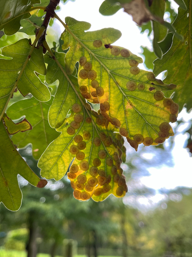
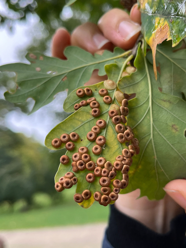
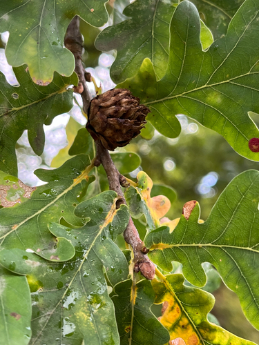
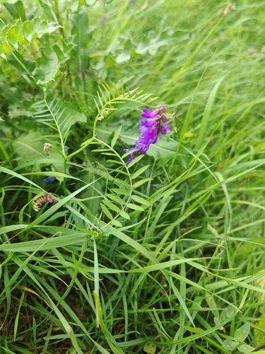
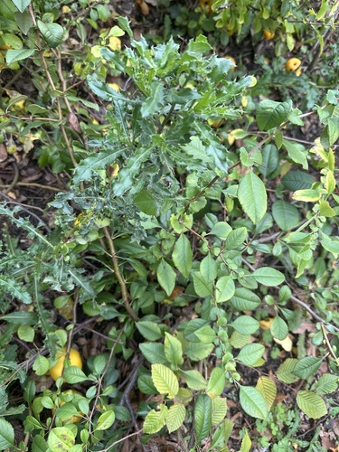
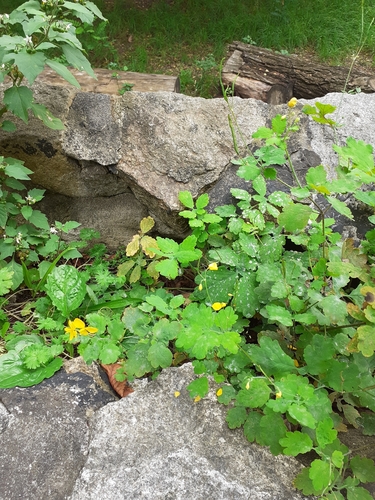
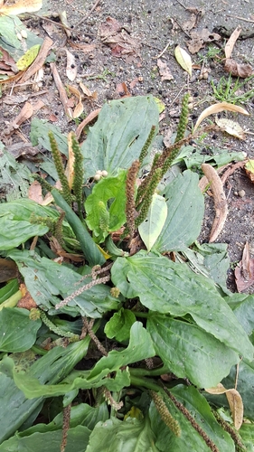
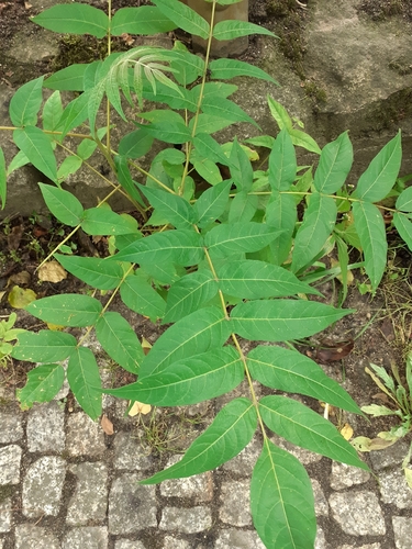
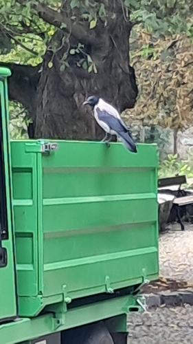
Research-grade observations from iNaturalist (within ~15 mi).
Events
Notable, recurring, and historical events associated with Wrocław, sourced from Wikidata.
- Q137706744Jan 1, 2025recurring event edition
- Q118182154May 1, 2023recurring event edition
- Q118780254Jan 1, 2023recurring event edition
- Q118182138May 1, 2022recurring event edition
- Q118780264Jan 1, 2022recurring event edition
- 2021 World Archery Youth ChampionshipsAug 10, 2021planned event
- Q118780300Jan 1, 2018recurring event edition
- finswimming at the 2017 World Games - men's apnoea 50 mJul 22, 2017sporting event
- Jul 22, 2017
- Jul 22, 2017
- Jul 22, 2017
- Jul 22, 2017
- Jul 22, 2017
- Jul 21, 2017
- Jul 21, 2017
- Jul 21, 2017
- Jul 21, 2017
- Jul 21, 2017
- Jul 21, 2017
- Apr 3, 2016
Source: Wikidata (CC0).
Gallery
Geotagged photos within ~6 miles of Wrocław, from Wikimedia Commons contributors.


.JPG)


.jpg)
.jpg)
_Wroclaw_dwarf_03.JPG)
_Wroclaw_dwarf_01.JPG)
_Wroclaw_dwarf_02.JPG)
_Wroclaw_dwarf_04.JPG)
_Wroclaw_dwarf_06.JPG)
_Wroclaw_dwarf_05.JPG)
_Wroclaw_dwarf_07.jpg)
_Wroclaw_(1)_dwarf_02.JPG)
_Wroclaw_(1)_dwarf_01.JPG)

_-_panoramio_-_MARELBU_(9).jpg)
.jpg)
.jpg)
.jpg)
.jpg)

Photos via Wikimedia Commons — see each image page for license & attribution.
Official Identifiers
GUS — Statistics Poland
- SIMC code
- 0986283
- Population (Wikidata)
- 673,531
- Wikidata
- Q1799
SIMC place ID via Wikidata P4046
Sources
- • Wikipedia
- • Open-Meteo (ERA5 reanalysis)
- • Wikimedia Commons
- • Wikidata
- • USGS Earthquake Catalog (global feed)
- • GBIF (Global Biodiversity Information Facility)
- • iNaturalist
- • Open-Meteo / sunrise-sunset.org
- • Wikipedia Pageviews API
- • Open Library
- • GUS — Statistics Poland — SIMC place ID via Wikidata P4046