Browse / Poland / Lubusz / Żagań
Żagań
Lubusztown

Żagań
Total population
24,424
Demographic figures from Statistics Poland (GUS). Overview below cites Wikipedia and may reference a different year.
City facts
Sister cities
Facts from Wikidata (CC0).
Overview
Żagań is a town in western Poland, on the Bóbr river, with 23,136 inhabitants (2024), and the capital of Żagań County in the Lubusz Voivodeship, located in the historic region of Lower Silesia.
Read more on WikipediaHistory & geography
History
The area formed part of Poland after the creation of the state in the 10th century. Żagań was founded in the 12th century by Polish monarch Bolesław IV the Curly near an old settlement of the same name, which name was then changed to Stary Żagań ("Old Żagań"). The name comes from the Old Polish word zagon. It was first mentioned in a 1202 deed, when it belonged to the Duchy of Silesia under the rule of the Piast duke Henry I the Bearded, within fragmented Poland. In 1251, it became part of the newly created Duchy of Głogów under Henry's grandson Konrad I. Duke Konrad I granted Żagań town rights between 1248 and 1260. The town developed wealth from development of mining, and attracted German settlers from the west. After Konrad's death in 1274, his heirs again divided the duchy and the castle of Żagań became the residence of his youngest son Przemko of Ścinawa, Duke of Żagań from 1278, who established a monastery of the Augustinian Canons here. Thus the Duchy of Żagań came into the existence. In 1284, he swapped his estates for the Duchy of Ścinawa and was succeeded by his elder brother Konrad II the Hunchback. When Konrad II died in 1304, all the former Głogów estates were reunified under his surviving brother Henry III. In 1309, Henry III of Głogów was succeeded by his eldest son Henry IV the Faithful, who in 1321 again had to divide the duchy with his younger brothers. He ceded Głogów to Przemko II and retired to Żagań, which again became the capital of a duchy in its own right. In 1329, all the sons of Henry III of Głogów became vassals of John of Luxembourg, the King of Bohemia - with the exception of Przemko II who died suddenly two years later. When in 1393 Henry VI the Elder, grandson of Henry IV, died without issue, the estates were again reunified with…
Geography
Żagań is located roughly halfway between Cottbus and Wrocław, approximately 100 meters above sea level and at the centre of the Żagań administrative district. It is about north of the Polish border with the Czech Republic, and approximately to the east of Poland's border with Germany. The rural district of Żagań surrounds the town on its northern, eastern and southern sides. Iłowa lies to the south-west and the rural district of Żary is to the north-west. The Rivers Bóbr and Kwisa meet up just outside the town on its south-eastern side.
Excerpted from the corresponding Wikipedia article (CC BY-SA).
Geography
Coordinates & boundaries from the US Census TIGER/Line shapefiles.
Climate
Air quality
Walkability
Amenities nearby
Wildlife & biodiversity
Most-observed species
- Great TitParus major Linnaeus, 1758 · Aves537
- Eurasian BlackbirdTurdus merula Linnaeus, 1758 · Aves520
- Common ChaffinchFringilla coelebs Linnaeus, 1758 · Aves504
- Eurasian Blue TitCyanistes caeruleus (Linnaeus, 1758) · Aves481
- Great Spotted WoodpeckerDendrocopos major (Linnaeus, 1758) · Aves477
- European RobinErithacus rubecula (Linnaeus, 1758) · Aves440
- Eurasian JayGarrulus glandarius (Linnaeus, 1758) · Aves434
- Common Wood-PigeonColumba palumbus Linnaeus, 1758 · Aves414
Citizen-science & research observations from the Global Biodiversity Information Facility (GBIF).
Earthquake history
Most recent
- M 4.3 — 2026-08-125 km N of Polkowice, Poland
- M 3.9 — 2026-07-184 km N of Polkowice, Poland
- M 4 — 2026-07-180 km E of Polkowice, Poland
- M 4.9 — 2026-07-112 km W of Polkowice, Poland
- M 4.2 — 2026-05-036 km E of Radwanice, Poland
- M 4.2 — 2026-01-215 km E of Polkowice, Poland
Events from the USGS Earthquake Catalog (global) (FDSN Event Web Service).
Photos
Sights & places nearby
Notable people from here
Nearby places in Lubusz
Geography & sun
Elevation, sunrise/sunset and daylight from Open-Meteo. Solar climatology from NASA POWER.
Nearby airports
Public attention
Pageview totals from the Wikimedia Pageviews API.
Books about this place
Recent natural events nearby
Ground air-quality sensors
Recently spotted species
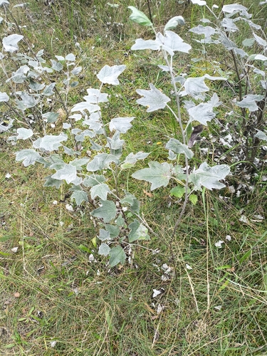
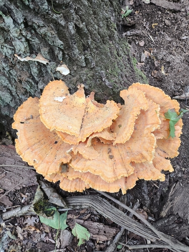
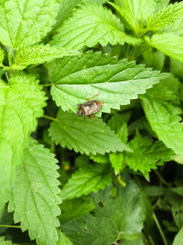
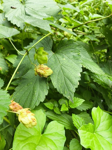
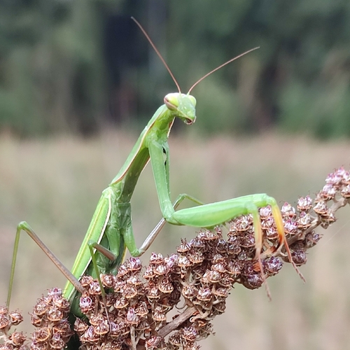
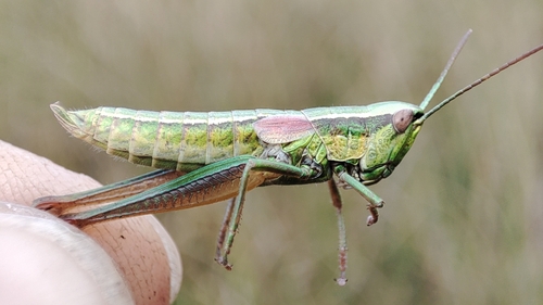
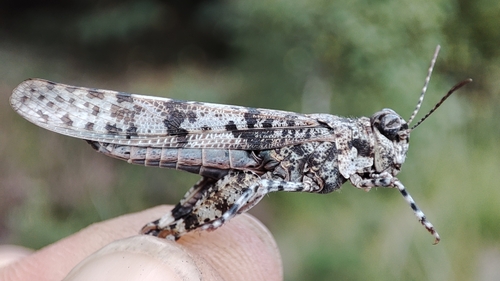
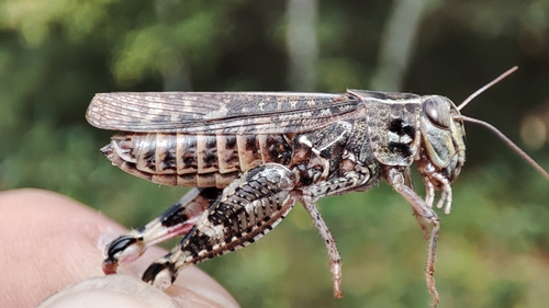
Research-grade observations from iNaturalist (within ~15 mi).
Events
Gallery
Official Identifiers
GUS — Statistics Poland
- SIMC code
- 0988661
- Population (Wikidata)
- 24,424
- Wikidata
- Q158459
SIMC place ID via Wikidata P4046
Sources
- • Wikipedia
- • Wikidata
- • USGS Earthquake Catalog (global feed)
- • GBIF (Global Biodiversity Information Facility)
- • iNaturalist
- • Open-Meteo / sunrise-sunset.org
- • Wikipedia Pageviews API
- • GUS — Statistics Poland — SIMC place ID via Wikidata P4046