Browse / United States / Puerto Rico / Arecibo
Arecibo
Puerto Ricozona urbana

Arecibo
Total population
40,831
Median home value
$114,000
Bachelor's+
Median income
$22,968
Founded
1616
Demographic figures from US Census Bureau · ACS 5-year estimates. Overview below cites Wikipedia and may reference a different year.
City facts
Facts from Wikidata (CC0).
Overview
Arecibo is a city and municipality on the northern coast of Puerto Rico, on the shores of the Atlantic Ocean, located north of Utuado and Ciales; east of Hatillo; and west of Barceloneta and Florida. It is about 50 miles (80 km) west of San Juan, the capital city. Arecibo is the largest municipality in Puerto Rico by area, and it is the core city of the Arecibo Metropolitan Statistical Area and part of the greater San Juan–Bayamón, PR Combined Statistical Area. It is spread over 18 barrios and Arecibo Pueblo. Its population in 2020 was 87,754.
Read more on WikipediaHistory & geography
History
When the Spanish arrived, they found the area occupied by the indigenous Taíno, led by Xamaica Arasibo, Cacique (chief) of the yucayeque (town) then named Abacoa. Spanish colonists settled Arecibo in 1556, which they named for the cacique. It was their fourth settlement on the island, after Caparra (which later became San Juan), San German, and Coamo. Arecibo was officially founded as a town by the Spanish crown on May 1, 1616, under the governorship of Captain Felipe de Beaumont y Navarra, when the King of Spain granted the land (and the Taino living there) to Lope Conchillos.
Geography
Arecibo is located in the Northern Coastal Plain region of Puerto Rico, extending inland into the Northern Karst Belt. It lies on the Atlantic Ocean north of Utuado, east of Hatillo, and west of Barceloneta and Florida. The city occupies an area of 127 square miles (330 km2), of which, , is water. The Río Grande de Arecibo is the main river in the municipality, running through the middle of it. South of the municipality, in the karst region, it forms the Dos Bocas Lake, a primary source of water for northern Puerto Rico. Several rivers feed the Río Grande, including the Tanamá River. Caño Santiago is an artificial canal created in the 19th century by partially diverting the Tanama River's waters tobarrios a small temporary stream, to supply water to poor neighborhoods in Arecibo, discharging into the Arecibo River near its mouth. In the 1950s it was modified to pass slightly more south of the city center. Poor maintenance, sediment and pollution has again turned the canal into a temporary stream. East of the river lies Caño Tiburones, a vital marshland area providing habitat for many birds and wildlife. Arecibo has two forest reserves. Cambalache Forest Reserve is located along Barceloneta's municipal limits while Río Abajo State Forest is located between Arecibo and Utuado. Caves include Cueva Ventana, which overlooks the valley formed by the Rio Grande de Arecibo, and Cueva del Indio (Cave of the Indian), where paintings made by prehistoric indigenous peoples have been seen. Environmental impact studies have been done to consider remedies for flooding that often occurs in Arecibo. Like all municipalities of Puerto Rico, Arecibo is subdivided into barrios. The municipal buildings, central square and large Catholic church are located in a small barrio referred…
Excerpted from the corresponding Wikipedia article (CC BY-SA).
Demographics & economy
Race & ethnicity
Source: US Census Bureau — American Community Survey, 5-year estimates.
Geography
Coordinates & boundaries from the US Census TIGER/Line shapefiles.
Climate
Current forecast
Forecast for Arecibo, PR from NOAA NWS API.
Air quality
Industrial & pollution facilities
Natural hazard risk
Health (adults)
Walkability
Amenities nearby
Wildlife & biodiversity
Most-observed species
- BananaquitCoereba flaveola (Linnaeus, 1758) · Aves6,997
- Gray KingbirdTyrannus dominicensis (Gmelin, 1788) · Aves6,971
- White-winged DoveZenaida asiatica (Linnaeus, 1758) · Aves5,223
- Greater Antillean GrackleQuiscalus niger (Boddaert, 1783) · Aves5,187
- Puerto Rican WoodpeckerMelanerpes portoricensis (Daudin, 1803) · Aves4,477
- Puerto Rican BullfinchMelopyrrha portoricensis (Daudin, 1800) · Aves4,027
- Adelaide's WarblerSetophaga adelaidae (S.F.Baird, 1865) · Aves4,004
- Northern MockingbirdMimus polyglottos (Linnaeus, 1758) · Aves3,907
Citizen-science & research observations from the Global Biodiversity Information Facility (GBIF).
Schools
Largest nearby schools
- SUPERIOR VOCACIONAL (ANTONIO LUCHETTI)High · ARECIBO · 1,228 students · 13.3:1 ratio
- SU BARRIO SABANA HOYOS (NUEVA)Elementary · ARECIBO · 599 students · 9.1:1 ratio
- DR. CAYETANO COLL Y TOSTEElementary · ARECIBO · 518 students · 9.6:1 ratio
- SU MANUEL RUIZ GANDIAElementary · ARECIBO · 455 students · 10.8:1 ratio
- SU FEDERICO DEGETAU ARECIBOElementary · ARECIBO · 411 students · 10.3:1 ratio
- ABELARDO MARTINEZ OTEROHigh · ARECIBO · 380 students · 11.9:1 ratio
- FACTOR 5Elementary · ARECIBO · 334 students · 9.3:1 ratio
- TRINA PADILLA DE SANZ ARECIBOHigh · ARECIBO · 331 students · 7.7:1 ratio
Public K–12 schools within ~10 mi from Urban Institute Education Data Portal (NCES Common Core of Data, 2022).
Earthquake history
Photos
Sights & places nearby
Notable people from here


People born within ~10 km, from Wikidata (CC0). Click any name for their Wikipedia article.
Nearby places in Puerto Rico
- Hatillo6 mi away · pop. 4,074
- Del Carmen7.5 mi away
- Alianza7.9 mi away · pop. 1,910
- Piedra Gorda10 mi away
- Garrochales11 mi away · pop. 1,045
- Cayuco11.2 mi away · pop. 1,210
- Barceloneta12.9 mi away
- Quebradillas13.1 mi away
- Tierras Nuevas Poniente16.2 mi away
- Hato Viejo17.9 mi away
- San Sebastián18.9 mi away · pop. 9,038
- Adjuntas20.1 mi away · pop. 4,664
Geography & sun
Elevation, sunrise/sunset and daylight from Open-Meteo. Solar climatology from NASA POWER.
Nearby airports
Public attention
Pageview totals from the Wikimedia Pageviews API.
Books about Arecibo


Search results from Open Library.
Recent natural events nearby
Ground air-quality sensors
Recently spotted species
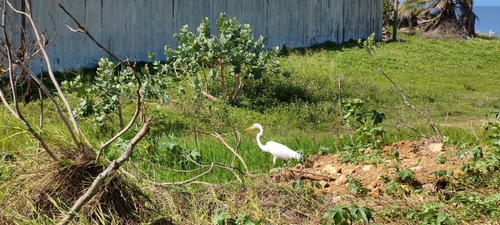
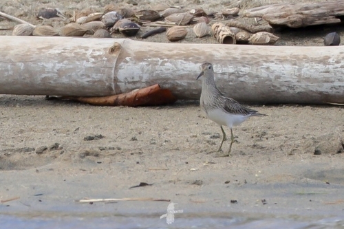
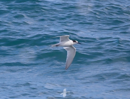
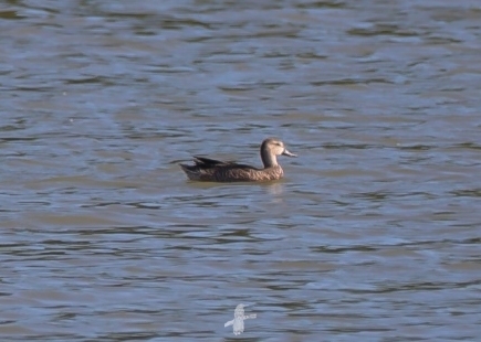
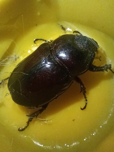
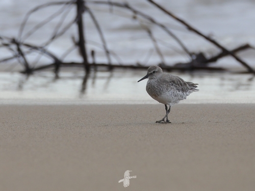
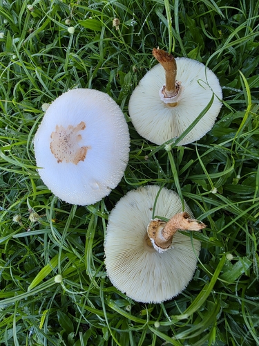
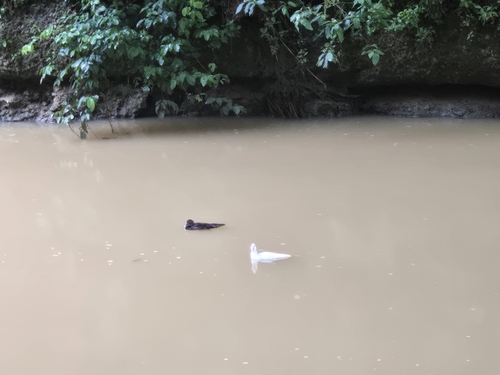
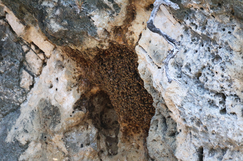
Research-grade observations from iNaturalist (within ~15 mi).
Nearest stream gauge
Live readings from USGS NWIS · measured 2026-10-13 12:30 UTC.
Events
Gallery
Sources
- • Wikipedia
- • US Census Bureau (ACS 5-year estimates)
- • NOAA National Weather Service
- • Wikidata
- • USGS NWIS (water data)
- • NCES via Urban Institute Education Data Portal
- • GBIF (Global Biodiversity Information Facility)
- • iNaturalist
- • Open-Meteo / sunrise-sunset.org
- • Wikipedia Pageviews API
- • Open Library