Browse / United States / Puerto Rico / Canóvanas
Canóvanas
Puerto Ricozona urbana

Canóvanas
Total population
12,689
Median home value
$163,900
Bachelor's+
Median income
$47,616
Founded
1909
Demographic figures from US Census Bureau · ACS 5-year estimates. Overview below cites Wikipedia and may reference a different year.
City facts
Facts from Wikidata (CC0).
Overview
Canóvanas is a town and municipality in Puerto Rico, located in the northeastern region, north of Juncos and Las Piedras; south of Loíza; east of Carolina; and west of Río Grande. Canóvanas is spread over 6 barrios and Canóvanas Pueblo. It is part of the San Juan-Caguas-Guaynabo Metropolitan Statistical Area.
Read more on WikipediaHistory & geography
History
The region of what is now Canóvanas belonged to the Taíno region of Cayniabón, also the native name of the Grande de Loiza River, which stretched from the central eastern region of Puerto Rico to the northeast coast of the island. The region was led by cacique Canobaná, from which the actual name is derived, in the south half, and female Cacica Loaiza in the north (mostly modern day Loíza). During the Spanish colonization, the region of Canóvanas was granted to Miguel Díaz, who turned the Taíno yucayeque into a ranch. It is said that Canóbana, along with Loaiza, were supporters of the Spanish regime and did not join the Taino rebellion of 1511. Canóvanas was a barrio (district) of the municipality of Loíza for over 400 years. In 1902, the Legislative Assembly of Puerto Rico approved a law for the consolidation of certain municipalities. As a result, both Canóvanas and Loíza were incorporated into the municipality of Río Grande. However, in 1905 a new law revoked the previous one, returning Canóvanas to its previous state of barrio of Loíza. In 1909, the Municipal administration of Loíza was transferred to the barrio of Canóvanas, which was more developed than the Loíza region. Also, the construction of the PR-3 facilitated the communication with Canóvanas. As a result of the transfer, land was acquired to build a new city hall, a town square, a slaughterhouse, and a cemetery. A plot of land was purchased by Don Luis Hernaiz Veronne, a townhall senator and local farmer. The site location was strategic, to intercept traffic from the PR-3, and from other nearby roads like the PR-185. However, the transfer was not well received by the residents of the original town of Loíza, then renamed Loiza Aldea. It was not until a law was passed on June 30, 1969, that both…
Geography
Canóvanas sits on the Northern Coastal Plain region of Puerto Rico. It is bordered by the municipalities of Loíza, Río Grande, Las Piedras, Juncos, Gurabo, and Carolina. Canóvanas combines flat alluvial plains in the center and north, areas with both gentle hills and rugged, deeply dissected mountainous areas made up of volcaniclastic rocks (lava flows and exposed intrusive igneous rocks) to the southeast and south. The Cuchilla de Santa Inés, a karstic limestone hill (mogote) with an elevation of 328 feet, rises from coastal sediments on the northeast of the municipality near San Isidro, while the Cuchilla El Asomante lies at the south with elevations that range from 656 to 2,296 feet. On the southeast, Canóvanas features portions of the Sierra de Luquillo mountain range, with the Cerro El Negro being the tallest peak in the municipality at 2,592 feet. Other notable peaks are La Peregrina (1,903 feet) and Pitahaya (951 feet), both located at Barrio Hato Puerco. Like all municipalities of Puerto Rico, Canóvanas is subdivided into barrios. The municipal buildings, central square and large Catholic church are located in a small barrio referred to as , near the center of the municipality. # Canóvanas #Canóvanas barrio-pueblo # Cubuy # Hato Puerco # Lomas # Torrecilla Alta The urban center of Canóvanas is located along Road PR-3, historically the main road between San Juan and Fajardo. Barrios (which are, in contemporary times, roughly comparable to minor civil divisions) (Special Communities of Puerto Rico) are marginalized communities whose citizens are experiencing a certain amount of social exclusion. A map shows these communities occur in nearly every municipality of the commonwealth. Of the 742 places that were on the list in 2014, the following barrios,…
Excerpted from the corresponding Wikipedia article (CC BY-SA).
Demographics & economy
Race & ethnicity
Source: US Census Bureau — American Community Survey, 5-year estimates.
Geography
Coordinates & boundaries from the US Census TIGER/Line shapefiles.
Climate
Current forecast
Forecast for Canóvanas, PR from NOAA NWS API.
Air quality
Industrial & pollution facilities
Natural hazard risk
Health (adults)
Walkability
Amenities nearby
Wildlife & biodiversity
Schools
Largest nearby schools
- VOCACIONAL WILLIAM RIVERA BETANCOURT (BO. SAN ISIDRO)High · CANOVANAS · 480 students · 13:1 ratio
- ANTONIO R. BARCELOElementary · CANOVANAS · 407 students · 11.6:1 ratio
- LUIS HERNAIZ VERONNEHigh · CANOVANAS · 340 students · 14.2:1 ratio
- JUANA RODRIGUEZ MUNDOElementary · CANOVANAS · 296 students · 10.6:1 ratio
- GEORGINA BAQUEROOther · CANOVANAS · 250 students · 8.9:1 ratio
- JOSE CALZADA FERRERElementary · CANOVANAS · 239 students · 9.2:1 ratio
- EDUARDO GARCIA CARRILLOHigh · CANOVANAS · 215 students · 8.3:1 ratio
- DR. PEDRO ALBIZU CAMPOS CANOVANASElementary · CANOVANAS · 168 students · 8.8:1 ratio
Public K–12 schools within ~10 mi from Urban Institute Education Data Portal (NCES Common Core of Data, 2022).
Earthquake history
Photos
Sights & places nearby
Notable people from here


People born within ~10 km, from Wikidata (CC0). Click any name for their Wikipedia article.
Nearby places in Puerto Rico
Geography & sun
Nearby airports
Public attention
Books about this place
Recent natural events nearby
Ground air-quality sensors
Recently spotted species
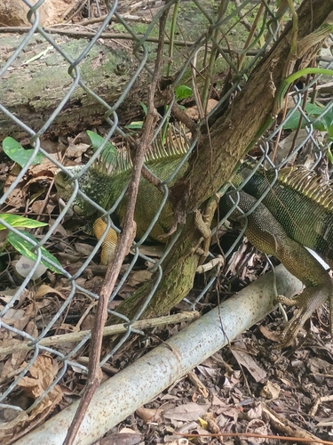
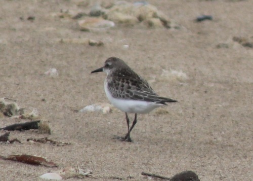
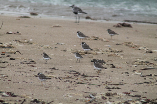
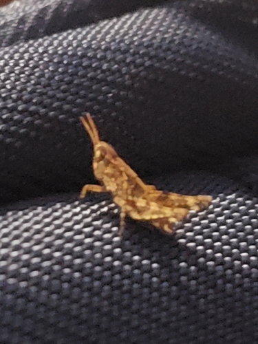
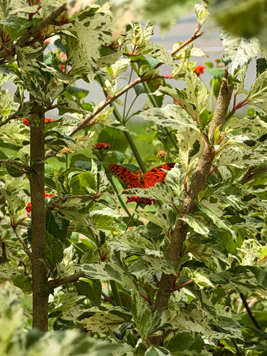
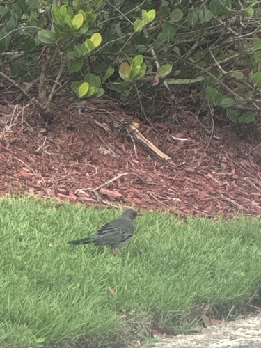
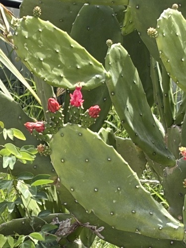
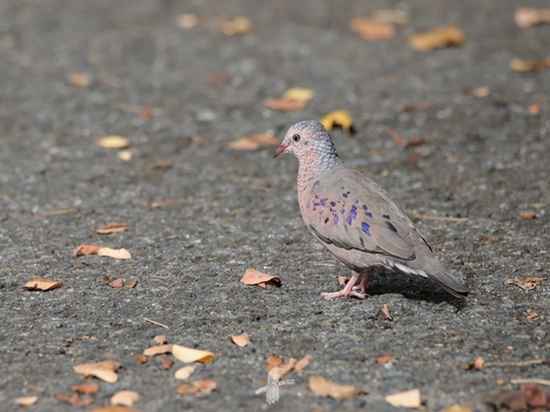
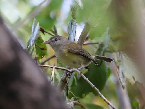
Research-grade observations from iNaturalist (within ~15 mi).
Nearest stream gauge
Live readings from USGS NWIS · measured 2026-09-18 11:15 UTC.
Events
Gallery
Sources
- • Wikipedia
- • US Census Bureau (ACS 5-year estimates)
- • NOAA National Weather Service
- • Wikidata
- • USGS NWIS (water data)
- • NCES via Urban Institute Education Data Portal
- • iNaturalist