Browse / United States / Puerto Rico / Carolina
Carolina
Puerto Ricozona urbana

Carolina
Total population
136,303
Median home value
$161,600
Bachelor's+
Median income
$36,963
Founded
1857
Demographic figures from US Census Bureau · ACS 5-year estimates. Overview below cites Wikipedia and may reference a different year.
City facts
Facts from Wikidata (CC0).
Overview
Carolina is a city and municipality on the northeastern coastal plain of Puerto Rico, immediately east of San Juan and Trujillo Alto, north of Gurabo and Juncos, and west of Canóvanas and Loíza. Part of the San Juan metropolitan area, Carolina encompasses 12 barrios, in addition to the downtown area and administrative center of Carolina Pueblo. In Carolina’s coastal region lies the resort and residential district of Isla Verde, where the main international airport of Puerto Rico, the Luis Muñoz Marín International Airport, is located. Carolina is the third-most populous municipality in the archipelago and island.
Read more on WikipediaHistory & geography
History
The town was founded by Spanish colonists in 1816 as Trujillo Bajo ("lower Trujillo"), along with its counterpart Trujillo Alto after Trujillo, Spain. In 1857 it was renamed to San Fernando de la Carolina, later shortened to Carolina, after Charles II of Spain. The city is known as "Tierra de Gigantes" (Land of Giants), not only for well-known Carolina resident Don Felipe Birriel González (who was 7'11"), but also in honor of other people from Carolina, including poet Julia de Burgos and most notably the first Latin American player named to baseball's Hall of Fame, Roberto Clemente. Carolina was also home to Jesús T. Piñero, the first Puerto Rican to be appointed as governor by the United States government. The city is also known as "El Pueblo de los Tumba Brazos" (The Arm Hackers' Town). During the late 1800s, the town's major export was sugarcane. Puerto Rico was ceded by Spain in the aftermath of the Spanish–American War under the terms of the Treaty of Paris of 1898 and became a territory of the United States. In 1899, the United States Department of War conducted a census of Puerto Rico finding that the population of Carolina was 11,965. Hurricane Maria on September 20, 2017 caused flooding in Carolina. The Río Grande de Loíza floods left around 500 homes uninhabitable. The Roberto Clemente stadium lost its roof and many other structures, bridges and roads were damaged to a toll of $87 million. Given the Luis Muñoz Marín International Airport is in Carolina, the destruction in Carolina created a challenge and the airport remained closed for three days. Two weeks after, the airport was attempting to operate a more regular schedule, but electricity was inconsistent and on October 10, nearly a month after the hurricane the airport was running on generators again.
Geography
Carolina municipality has a number of rivers such as the Río Canovanillas, Río Grande de Loíza, La Torrecilla, Piñones Lagoons. Like all municipalities of Puerto Rico, Carolina is subdivided into barrios. The municipal buildings, central square and large Catholic church are located in a small barrio referred to as , near the center of the municipality. # Barrazas # Buena Vista # Cacao # Cangrejo Arriba # Canovanillas #Carolina barrio-pueblo # Carruzos # Cedro # Martín González # Sabana Abajo # San Antón # Santa Cruz # Trujillo Bajo Barrios (which are, in contemporary times, roughly comparable to minor civil divisions) are further subdivided into smaller areas called (sectors in English). The types of sectores may vary, from normally sector to urbanización to reparto to barriada to residencial, among others. (Special Communities of Puerto Rico) are marginalized communities whose citizens are experiencing a certain amount of social exclusion. A map shows these communities occur in nearly every municipality of the commonwealth. Of the 742 places that were on the list in 2014, the following barrios, communities, sectors, or neighborhoods were in Carolina: Colo, Martín González, Buena Vista, Buenaventura, Canovanillas (Estancias del Parque), Cuesta Quiles, Eduardo J. Saldaña - La Cerámica, La Villas (Justicia y Esperanza), Sabana Abajo Norte, Sabana Abajo Sur, Saint Just, San Antón, and Villa Caridad.
Excerpted from the corresponding Wikipedia article (CC BY-SA).
Demographics & economy
Race & ethnicity
Source: US Census Bureau — American Community Survey, 5-year estimates.
Geography
Coordinates & boundaries from the US Census TIGER/Line shapefiles.
Climate
Current forecast
Forecast for Carolina, PR from NOAA NWS API.
Air quality
Industrial & pollution facilities
Natural hazard risk
Health (adults)
Walkability
Amenities nearby
Wildlife & biodiversity
Most-observed species
- Greater Antillean GrackleQuiscalus niger (Boddaert, 1783) · Aves19,864
- BananaquitCoereba flaveola (Linnaeus, 1758) · Aves18,352
- Zenaida DoveZenaida aurita (Temminck, 1809) · Aves17,043
- Gray KingbirdTyrannus dominicensis (Gmelin, 1788) · Aves14,924
- White-winged DoveZenaida asiatica (Linnaeus, 1758) · Aves14,730
- Pearly-eyed ThrasherMargarops fuscatus (Vieillot, 1808) · Aves11,866
- Rock PigeonColumba livia J.F.Gmelin, 1789 · Aves10,827
- Red-legged ThrushTurdus plumbeus Linnaeus, 1758 · Aves10,218
Citizen-science & research observations from the Global Biodiversity Information Facility (GBIF).
Schools
Largest nearby schools
- GILBERTO CONCEPCION DE GRACIAHigh · CAROLINA · 780 students · 15.9:1 ratio
- JOSE SEVERO QUINONESElementary · CAROLINA · 621 students · 12.2:1 ratio
- ANGEL P. MILLAN ROHENAHigh · CAROLINA · 594 students · 16.5:1 ratio
- FRANCISCO MATIAS LUGOElementary · CAROLINA · 515 students · 11.7:1 ratio
- LUZ AMERICA CALDERONHigh · CAROLINA · 406 students · 13.1:1 ratio
- PETRA ROMAN VIGOMiddle · CAROLINA · 376 students · 8.7:1 ratio
- AGUSTIN CABRERAMiddle · CAROLINA · 354 students · 11.4:1 ratio
- PRISCO FUENTESElementary · CANOVANAS · 336 students · 11.6:1 ratio
Public K–12 schools within ~10 mi from Urban Institute Education Data Portal (NCES Common Core of Data, 2022).
Earthquake history
Most recent
- M 2.98 — 2026-10-1526 km SE of Emajagua, Puerto Rico
- M 3.1 — 2026-10-1422 km NNE of Brenas, Puerto Rico
- M 2.86 — 2026-10-1310 km N of Animas, Puerto Rico
- M 3.11 — 2026-10-0868 km N of Tierras Nuevas Poniente, Puerto Rico
- M 3.43 — 2026-10-0781 km NNE of Luquillo, Puerto Rico
- M 3.07 — 2026-10-067 km NNW of Trujillo Alto, Puerto Rico
Events from the USGS Earthquake Catalog (global) (FDSN Event Web Service).
Photos
Sights & places nearby
Notable people from here


People born within ~10 km, from Wikidata (CC0). Click any name for their Wikipedia article.
Nearby places in Puerto Rico
Geography & sun
Elevation, sunrise/sunset and daylight from Open-Meteo. Solar climatology from NASA POWER.
Nearby airports
Public attention
Pageview totals from the Wikimedia Pageviews API.
Books about Carolina


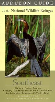
Search results from Open Library.
Recent natural events nearby
Ground air-quality sensors
Recently spotted species
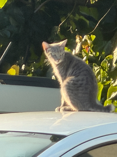
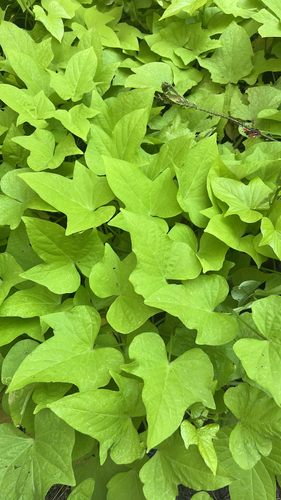
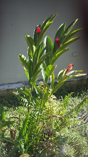
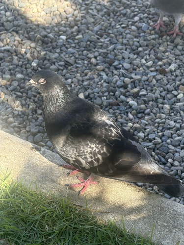
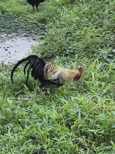
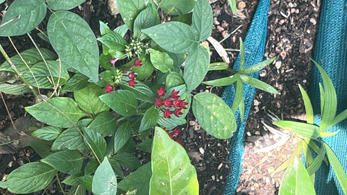
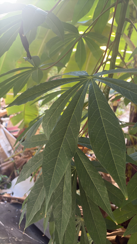
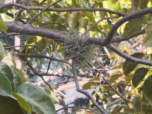
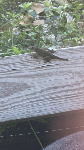
Research-grade observations from iNaturalist (within ~15 mi).
Nearest stream gauge
Live readings from USGS NWIS · measured 2026-10-16 06:45 UTC.
Events
Gallery
Sources
- • Wikipedia
- • US Census Bureau (ACS 5-year estimates)
- • NOAA National Weather Service
- • Wikidata
- • USGS Earthquake Catalog (global feed)
- • USGS NWIS (water data)
- • NCES via Urban Institute Education Data Portal
- • GBIF (Global Biodiversity Information Facility)
- • iNaturalist
- • Open-Meteo / sunrise-sunset.org
- • Wikipedia Pageviews API
- • Open Library