Browse / United States / Puerto Rico / Ceiba
Ceiba
Puerto Ricozona urbana

Ceiba
Total population
4,942
Median home value
$114,800
Bachelor's+
Median income
$25,270
Founded
1838
Demographic figures from US Census Bureau · ACS 5-year estimates. Overview below cites Wikipedia and may reference a different year.
City facts
Facts from Wikidata (CC0).
Overview
Ceiba is both a small town and a municipality in northeast Puerto Rico. It is named after the famous Ceiba tree. Ceiba is located in the north-east coast of the island, bordering the Atlantic Ocean, south of Fajardo, north of Naguabo and southeast of Río Grande. Located about one hour's driving distance from San Juan, Ceiba is spread over 7 barrios and Ceiba Pueblo. It is part of the Fajardo Metropolitan Statistical Area.
Read more on WikipediaHistory & geography
History
Ceiba was founded on April 7, 1838 by Luis de la Cruz. Ceiba derives its name from an Indian word Seyba, which is the name for a famous tree that grows in the island, Ceiba pentandra, the kapok tree. Ceiba, situated near Fajardo, used to be home of an American military Naval base, the Roosevelt Roads Naval Station. Most of the units were relocated and the base was closed in 2004. Ex-governor Sila María Calderón suggested turning the property into a major international airport, to serve as a relief to Luis Muñoz Marín International Airport in San Juan, and to increase the number of international airlines that operate into Puerto Rico. She was met with skepticism about these plans from such groups as environmentalists, economists and others, but in 2008, José Aponte de la Torre Airport was inaugurated at the base's former site. Locals are commonly known as "Los Come Sopa" (Spanish for 'the soup-eaters'). Even though there is no official reason as to why they are called this, a few stories have been suggested. Among the tales is the belief that since the town did not have a local meat market people had to travel long distances in order to buy some meat and therefore mostly ate soup. Hurricane Maria on September 20, 2017 triggered numerous landslides in Ceiba. Forty-nine structures in Punta Figuera were destroyed completely. In July 2018, some residents received monies via FEMA to rebuild their homes. 170927-M-GQ832-0048 (36686716504).jpg|National Guard working in Ceiba after the hurricane
Geography
The Reserva Natural Medio Mundo y Daguao (Nature Reserve Medio Mundo and Daguao) extends along the coastline between Ceiba and Fajardo. 95% of the forest is classified as mangrove. Various species of birds can be seen as well as turtles and manatees. Its rivers includes; Río Daguao, Río Demajagua and Río Fajardo. The municipality extends northwest into the seas between Fajardo and Culebra and thereby includes the reefs and islets named Arrecifes Hermanos and Arrecifes Barriles. The reef are closest to the coastal barrio of Machos, but barrio boundaries are not defined in that area. The highest point in the municipality is Pico del Oeste in the Sierra de Luquillo at 3,346 feet (1,020 m) of elevation. Like all municipalities of Puerto Rico, Ceiba is subdivided into barrios. The municipal buildings, central square and large Catholic church are located in a barrio referred to as , near the center of the municipality. #Ceiba barrio-pueblo #Chupacallos #Daguao #Guayacán #Machos #Quebrada Seca #Río Abajo #Saco Barrios (which are like minor civil divisions) in turn are further subdivided into smaller local populated place areas/units called sectores (sectors in English). The types of sectores may vary, from normally sector to urbanización to reparto to barriada to residencial, among others. (Special Communities of Puerto Rico) are marginalized communities whose citizens are experiencing a certain amount of social exclusion. A map shows these communities occur in nearly every municipality of the commonwealth. Of the 742 places that were on the list in 2014, the following barrios, communities, sectors, or neighborhoods were in Ceiba: Saco, Las Calderonas, Parcelas Aguas Claras, Parcelas Nuevas, Prado Hermoso, and Quebrada Seca.
Excerpted from the corresponding Wikipedia article (CC BY-SA).
Demographics & economy
Race & ethnicity
Source: US Census Bureau — American Community Survey, 5-year estimates.
Geography
Coordinates & boundaries from the US Census TIGER/Line shapefiles.
Climate
Air quality
Industrial & pollution facilities
Natural hazard risk
Health (adults)
Walkability
Amenities nearby
Wildlife & biodiversity
Schools
Largest nearby schools
- SANTIAGO IGLESIAS PANTIN CEIBAHigh · CEIBA · 339 students · 9.4:1 ratio
- DON LUIS MUNOZ MARIN (ELEMENTAL URBANA NUEVA)Elementary · CEIBA · 333 students · 8.5:1 ratio
- IRMA PEDRAZA RUIZ (INTERMEDIA NUEVA)Middle · CEIBA · 241 students · 11.5:1 ratio
- CENTRO RESIDENCIAL OPORTUNIDADES EDUCATIVAS DE CEIBA (CROEC)High · CEIBA · 147 students · 9.8:1 ratio
Public K–12 schools within ~10 mi from Urban Institute Education Data Portal (NCES Common Core of Data, 2022).
Earthquake history
Photos
Sights & places nearby
Notable people from here


People born within ~10 km, from Wikidata (CC0). Click any name for their Wikipedia article.
Nearby places in Puerto Rico
- Santa María0.9 mi away
- Río Blanco10.1 mi away
- Punta Santiago10.2 mi away
- Bartolo14.3 mi away
- Río Grande14.7 mi away
- Villa Sin Miedo14.7 mi away
- Benítez15.1 mi away · pop. 709
- Palmas del Mar15.7 mi away
- Esperanza15.8 mi away · pop. 703
- Candelero Abajo16.1 mi away
- Vieques16.4 mi away · pop. 2,533
- Cambalache16.9 mi away
Geography & sun
Nearby airports
Public attention
Books about this place
Recent natural events nearby
Ground air-quality sensors
Recently spotted species
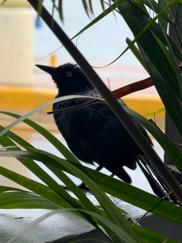
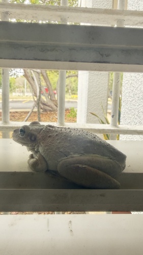
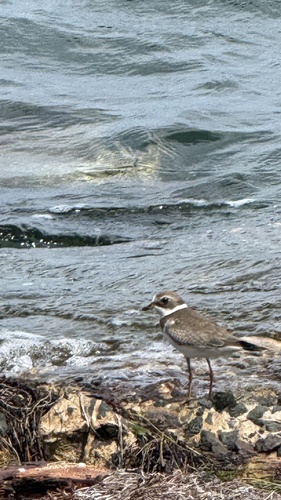
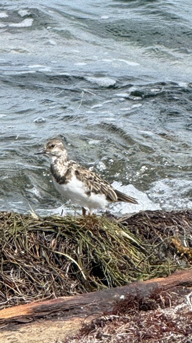
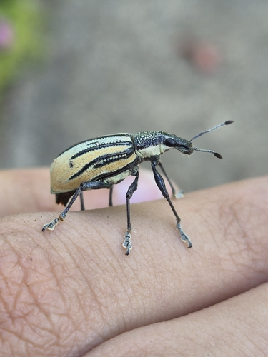
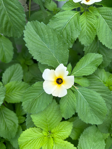
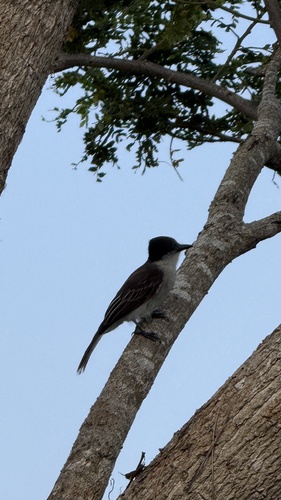
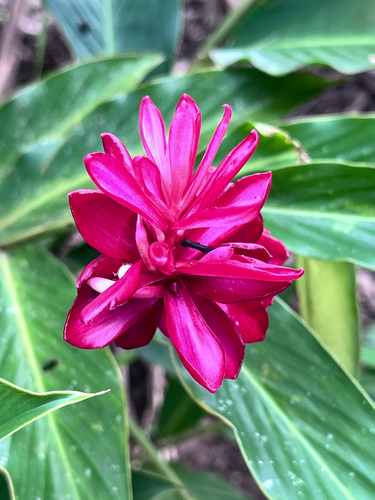
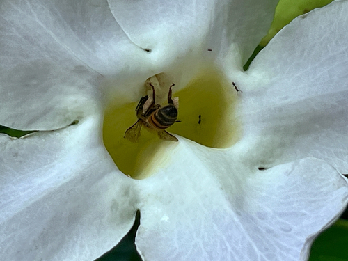
Research-grade observations from iNaturalist (within ~15 mi).
Nearest stream gauge
Live readings from USGS NWIS · measured 2026-10-13 12:15 UTC.
Events
Gallery
Sources
- • Wikipedia
- • US Census Bureau (ACS 5-year estimates)
- • Wikidata
- • USGS NWIS (water data)
- • NCES via Urban Institute Education Data Portal
- • iNaturalist