Browse / United States / Puerto Rico / G. L. García
G. L. García
Puerto Ricocomunidad
Total population
1,136
Median home value
$153,800
Bachelor's+
Median income
$0
Demographic figures from US Census Bureau · ACS 5-year estimates. Overview below cites Wikipedia and may reference a different year.
City facts
Overview
As a small village in Puerto Rico, United States, G. L. García occupies its own corner of the country. On the world map it falls within the Western Hemisphere, specifically at 18.126°, -66.103°. The population stands at approximately 1,136. The administrative footprint covers a compact 2 km². Its latitude implies a climate characterised by warm temperatures throughout the year with pronounced wet and dry seasons. At 568 people per km², the village shows a moderate population density. Solar-resource estimates put the area at about 1,905 kWh/m² of solar irradiance per year with sunshine for roughly 75% of daylight hours. The remainder of this page draws on open public data to describe the area's demographics, climate, environment and nearby amenities.
Summary composed automatically from structured open data on this page. See our Terms for details.
History & geography
Demographics & economy
Race & ethnicity
Source: US Census Bureau — American Community Survey, 5-year estimates.
Geography
Coordinates & boundaries from the US Census TIGER/Line shapefiles.
Climate
Current forecast
Forecast for G. L. García, PR from NOAA NWS API.
Air quality
Industrial & pollution facilities
Natural hazard risk
Health (adults)
Walkability
Amenities nearby
Wildlife & biodiversity
Schools
Largest nearby schools
- BENJAMIN HARRISONHigh · CAYEY · 720 students · 11.1:1 ratio
- MIGUEL MELENDEZ MUNOZ CAYEYHigh · CAYEY · 440 students · 11:1 ratio
- DR. RAMON EMETERIO BETANCESMiddle · CAYEY · 377 students · 10.8:1 ratio
- BENIGNO CARRIONElementary · CAYEY · 319 students · 10.3:1 ratio
- SU GERARDO SELLES SOLAElementary · CAYEY · 291 students · 11.2:1 ratio
- VIRGINIA VAZQUEZ MENDOZAElementary · CAYEY · 283 students · 9.8:1 ratio
- ESPECIALIZADA DE BELLAS ARTESHigh · CAYEY · 247 students · 8.2:1 ratio
- BENIGNO FERNANDEZ GARCIAMiddle · CAYEY · 246 students · 9.5:1 ratio
Public K–12 schools within ~10 mi from Urban Institute Education Data Portal (NCES Common Core of Data, 2022).
Earthquake history
Photos
Sights & places nearby
Notable people from here


People born within ~10 km, from Wikidata (CC0). Click any name for their Wikipedia article.
Nearby places in Puerto Rico
- Parcelas Nuevas4.5 mi away
- Parcelas Viejas Borinquen5.2 mi away
- Parcelas La Milagrosa6.4 mi away
- Honduras6.5 mi away
- Tomás de Castro6.8 mi away
- Pueblito del Carmen7.7 mi away
- Los Prados7.9 mi away · pop. 3,779
- Hacienda San José8.1 mi away
- Parcelas de Navarro9.7 mi away
- Patillas10.1 mi away
- Guayama10.5 mi away · pop. 18,216
- Bairoa La Veinticinco10.9 mi away
Geography & sun
Elevation, sunrise/sunset and daylight from Open-Meteo. Solar climatology from NASA POWER.
Nearby airports
Public attention
Books about G. L. García

Search results from Open Library.
Recent natural events nearby
Ground air-quality sensors
Recently spotted species
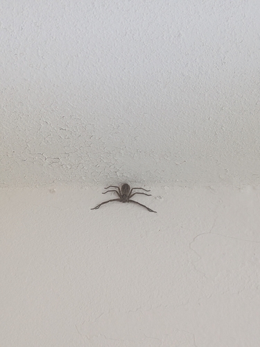
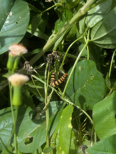
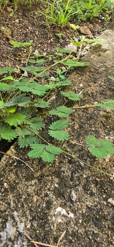
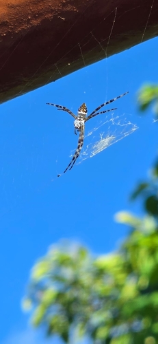
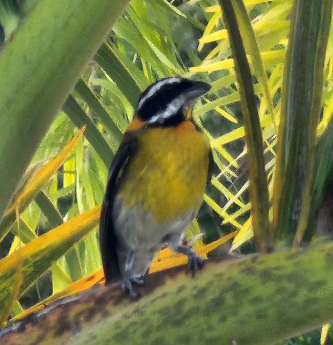
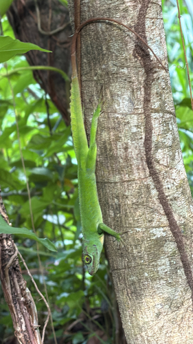
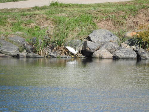
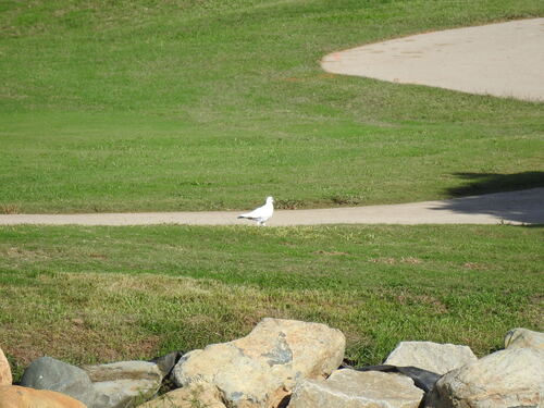
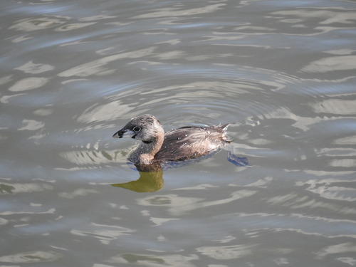
Research-grade observations from iNaturalist (within ~15 mi).
Nearest stream gauge
Live readings from USGS NWIS · measured 2026-10-12 23:30 UTC.
Events
Gallery
Sources
- • US Census Bureau (ACS 5-year estimates)
- • NOAA National Weather Service
- • Wikidata
- • USGS NWIS (water data)
- • NCES via Urban Institute Education Data Portal
- • iNaturalist
- • Open-Meteo / sunrise-sunset.org
- • Open Library