Browse / United States / Puerto Rico / Juana Díaz
Juana Díaz
Puerto Ricozona urbana

Juana Díaz
Total population
8,071
Median home value
$114,800
Bachelor's+
Median income
$21,222
Founded
1798
Demographic figures from US Census Bureau · ACS 5-year estimates. Overview below cites Wikipedia and may reference a different year.
City facts
Facts from Wikidata (CC0).
Overview
Juana Díaz is a town and municipality of Puerto Rico located on the southern coast of the island, south of Jayuya, Ciales, Orocovis and Villalba; east of Ponce; and west of Coamo and Santa Isabel and the Caribbean Sea to the south. Juana Díaz is spread over 13 barrios and Juana Diaz Pueblo. It is part of the Ponce Metropolitan Statistical Area.
Read more on WikipediaHistory & geography
History
Juana Díaz was founded in 1798 and was known as , in honor of the Taíno Cacique Jacaguax. The civil government of this territory was established on April 25, 1798. Puerto Rico was ceded by Spain in the aftermath of the Spanish–American War under the terms of the Treaty of Paris of 1898 and became a territory of the United States. In August of 1898, Stephen Crane, a war correspondent for Hearst's New York Journal, single-handedly took possession of the town before an American regiment arrived. In 1899, the United States Department of War conducted a census of Puerto Rico finding that the population of Juana Díaz was 27,896. On September 20, 2017 Hurricane Maria struck the island of Puerto Rico. In Juana Díaz, 2,500 homes lost their roof.
Geography
Juana Díaz is located on the southern coast. Several rivers run through the Juana Díaz territory, among them, Río Inabón and the Río Jacaguas, from which Juana Díaz takes its nickname, "Ciudad del Jacaguas". The Guayabal dam between Juana Díaz and Villalba is located in this river. Among its main tributaries are Río Toa Vaca in Villalba, also dammed. Both Guayabal and Toa Vaca lakes are visible in the map. Lake Toa Vaca is also the main source of drinking water for Juana Díaz, Ponce and other towns. The highest point in the municipality is located close to the top of Cerro Maravilla. Like all municipalities of Puerto Rico, Juana Díaz is subdivided into barrios. The municipal buildings, central square and large Catholic church are located in a barrio referred to as . #Amuelas #Callabo #Capitanejo #Cintrona #Collores #Emajagual #Guayabal #Jacaguas #Juana Díaz barrio-pueblo #Lomas #Río Cañas Abajo #Río Cañas Arriba #Sabana Llana #Tijeras Barrios (which are, in contemporary times, roughly comparable to minor civil divisions) are further subdivided into smaller areas called (sectors in English). The types of sectores may vary, from normally sector to urbanización to reparto to barriada to residencial, among others. (Special Communities of Puerto Rico) are marginalized communities whose citizens are experiencing a certain amount of social exclusion. A map shows these communities occur in nearly every municipality of the commonwealth. Of the 742 places that were on the list in 2014, the following barrios, communities, sectors, or neighborhoods were in Juana Díaz: Arús (Pastillito), Callejón de los Perros (Los Buenos), Sector San Carlos in Collores, Sector Baldío in Cuevas, La Atómica, Las Palmas and Manzanilla.
Excerpted from the corresponding Wikipedia article (CC BY-SA).
Demographics & economy
Race & ethnicity
Source: US Census Bureau — American Community Survey, 5-year estimates.
Geography
Coordinates & boundaries from the US Census TIGER/Line shapefiles.
Climate
Air quality
Industrial & pollution facilities
Natural hazard risk
Health (adults)
Walkability
Amenities nearby
Wildlife & biodiversity
Schools
Largest nearby schools
- DR. MAXIMO DONOSO SANCHEZHigh · JUANA DIAZ · 453 students · 12.9:1 ratio
- LUIS LLORENS TORRES JUANA DIAZHigh · JUANA DIAZ · 410 students · 10.5:1 ratio
- RUTHFORD B. HAYESElementary · JUANA DIAZ · 371 students · 11.6:1 ratio
- MANUEL FERNANDEZ JUNCOSElementary · JUANA DIAZ · 352 students · 10.1:1 ratio
- FELIPE COLON DIAZMiddle · JUANA DIAZ · 323 students · 9:1 ratio
- CARMEN BELEN VEIGAHigh · JUANA DIAZ · 295 students · 10.2:1 ratio
- PEDRO COLON SANTIAGOElementary · JUANA DIAZ · 248 students · 11.3:1 ratio
- LUIS MUNOZ MARIN JUANA DIAZHigh · JUANA DIAZ · 213 students · 11.2:1 ratio
Public K–12 schools within ~10 mi from Urban Institute Education Data Portal (NCES Common Core of Data, 2022).
Earthquake history
Photos
Sights & places nearby
Notable people from here
Nearby places in Puerto Rico
Geography & sun
Elevation, sunrise/sunset and daylight from Open-Meteo. Solar climatology from NASA POWER.
Nearby airports
Public attention
Pageview totals from the Wikimedia Pageviews API.
Books about Juana Díaz


Search results from Open Library.
Recent natural events nearby
Ground air-quality sensors
Recently spotted species
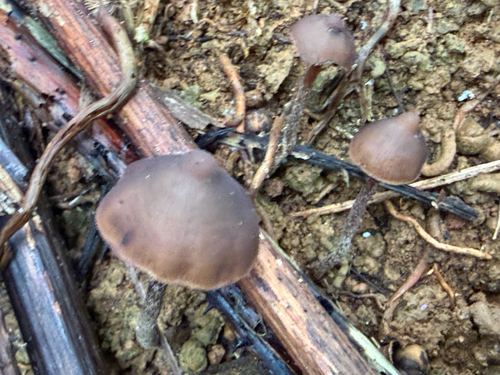
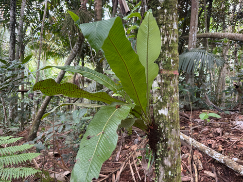
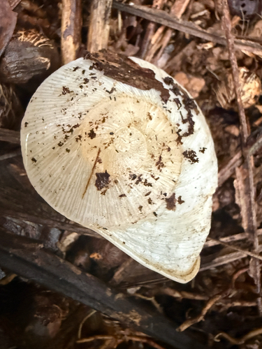
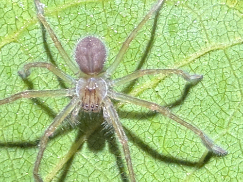
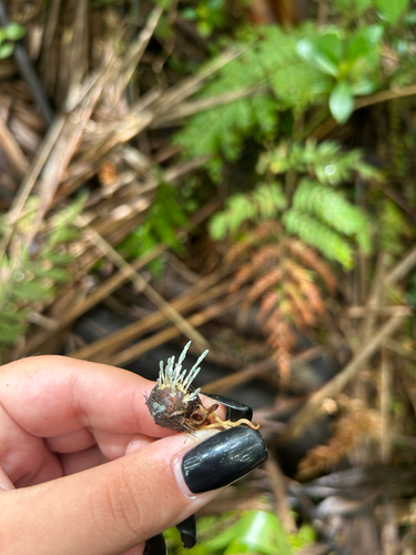
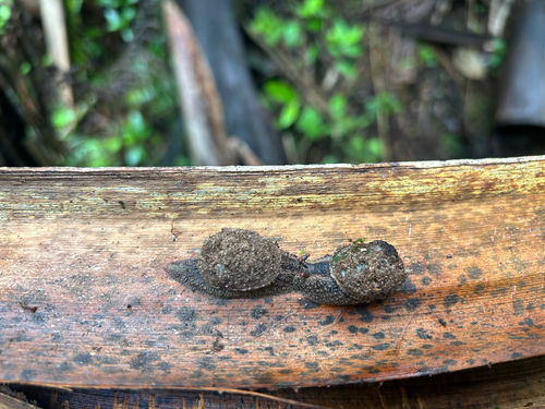
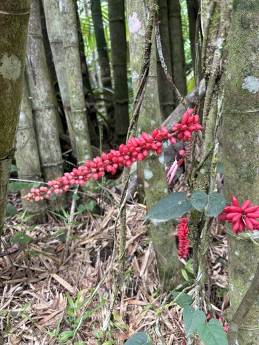
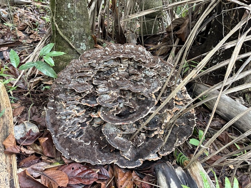
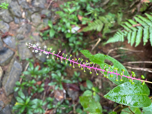
Research-grade observations from iNaturalist (within ~15 mi).
Nearest stream gauge
Live readings from USGS NWIS · measured 2026-09-26 18:00 UTC.
Events
Gallery
Sources
- • Wikipedia
- • US Census Bureau (ACS 5-year estimates)
- • Wikidata
- • USGS NWIS (water data)
- • NCES via Urban Institute Education Data Portal
- • iNaturalist
- • Open-Meteo / sunrise-sunset.org
- • Wikipedia Pageviews API
- • Open Library