Browse / United States / Puerto Rico / La Fermina
La Fermina
Puerto Ricocomunidad
Total population
2,059
Median home value
$112,200
Bachelor's+
Median income
$17,426
Demographic figures from US Census Bureau · ACS 5-year estimates. Overview below cites Wikipedia and may reference a different year.
City facts
Overview
La Fermina sits in Puerto Rico, United States and is identified as a village. Population sits at roughly 2,059 according to the open data we track. On the world map it falls within the Western Hemisphere, specifically at 18.173°, -65.852°. Its latitude implies a climate characterised by warm temperatures throughout the year with pronounced wet and dry seasons. Open solar datasets indicate about 2,017 kWh/m² of solar irradiance per year, combined with sunshine for roughly 79% of daylight hours. Total area is recorded as a compact 2.5 km². At 824 people per km², the village shows an average residential density. Continue scrolling for population, climate, environmental and points-of-interest data drawn from public sources.
Summary composed automatically from structured open data on this page. See our Terms for details.
History & geography
Demographics & economy
Race & ethnicity
Source: US Census Bureau — American Community Survey, 5-year estimates.
Geography
Coordinates & boundaries from the US Census TIGER/Line shapefiles.
Climate
Current forecast
Forecast for La Fermina, PR from NOAA NWS API.
Air quality
Industrial & pollution facilities
Natural hazard risk
Health (adults)
Walkability
Amenities nearby
Wildlife & biodiversity
Schools
Largest nearby schools
- SUPERIOR VOCACIONAL MANUEL MEDIAVILLAHigh · HUMACAO · 578 students · 9.8:1 ratio
- ANA ROQUE DE DUPREYHigh · HUMACAO · 483 students · 15.6:1 ratio
- ANITA OTERO HERNANDEZ (BELLAS ARTES HUMACAO)High · HUMACAO · 466 students · 9.5:1 ratio
- CARLOS RIVERA UFRETMiddle · HUMACAO · 350 students · 10.9:1 ratio
- SU AGAPITO LOPEZ FLORESElementary · HUMACAO · 326 students · 12.1:1 ratio
- JUAN PONCE DE LEON (ESPECIALIZADA) HUMACAOHigh · HUMACAO · 302 students · 12.1:1 ratio
- LUZ A. CRUZ DE SANTANAElementary · HUMACAO · 301 students · 13.7:1 ratio
- LIDIA FIOL SCARANOElementary · HUMACAO · 299 students · 13.6:1 ratio
Public K–12 schools within ~10 mi from Urban Institute Education Data Portal (NCES Common Core of Data, 2022).
Earthquake history
Photos
Sights & places nearby
Notable people from here
Nearby places in Puerto Rico
- Río Blanco4.7 mi away
- Candelero Abajo5.9 mi away
- Villa Sin Miedo5.9 mi away
- Punta Santiago6.2 mi away
- Palmas del Mar6.6 mi away
- Benítez7.1 mi away · pop. 709
- Rosa Sánchez8.7 mi away
- Yabucoa9 mi away · pop. 5,557
- El Negro9.4 mi away · pop. 1,126
- Gurabo10 mi away
- Parcelas de Navarro10.7 mi away
- Tomás de Castro11 mi away
Geography & sun
Elevation, sunrise/sunset and daylight from Open-Meteo. Solar climatology from NASA POWER.
Nearby airports
Public attention
Books about this place
Recent natural events nearby
Ground air-quality sensors
Recently spotted species
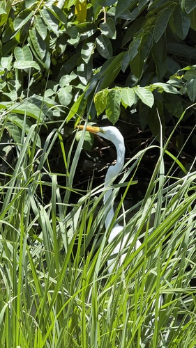
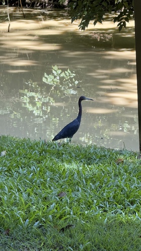
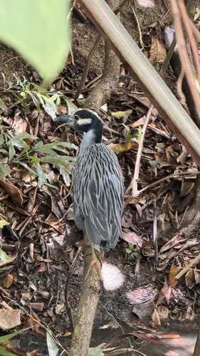
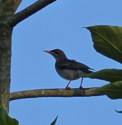
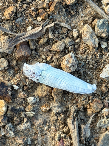
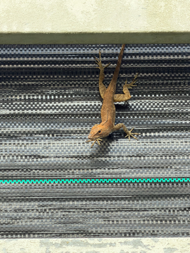
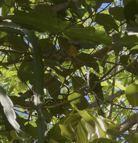
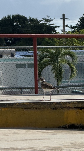
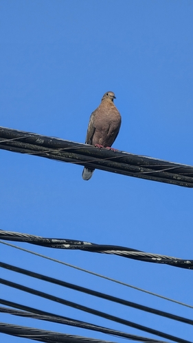
Research-grade observations from iNaturalist (within ~15 mi).
Nearest stream gauge
Live readings from USGS NWIS · measured 2026-10-13 22:00 UTC.
Events
Gallery
Sources
- • US Census Bureau (ACS 5-year estimates)
- • NOAA National Weather Service
- • USGS NWIS (water data)
- • NCES via Urban Institute Education Data Portal
- • iNaturalist
- • Open-Meteo / sunrise-sunset.org