Browse / United States / Puerto Rico / Lajas
Lajas
Puerto Ricozona urbana

Lajas
Total population
4,285
Median home value
$112,300
Bachelor's+
Median income
$20,625
Founded
1883
Demographic figures from US Census Bureau · ACS 5-year estimates. Overview below cites Wikipedia and may reference a different year.
City facts
Facts from Wikidata (CC0).
Overview
Lajas is a town and municipality located in the Lajas Valley in southwestern Puerto Rico, bordering the Caribbean Sea, south of San Germán and Sabana Grande; east of Cabo Rojo; and west of Guánica. Lajas is spread over 11 barrios plus Lajas Pueblo. It is part of the San Germán-Cabo Rojo Metropolitan Statistical Area.
Read more on WikipediaHistory & geography
History
Located in the Lajas Valley, the town was founded in 1883 by the Xueta Teodoro Jácome Pagán. Xuetes (Chuetas) were Mallorcan Jews (Sephardic Catalan Jews). Some families changed their names from Jácome to the Castilian form Santiago. Jácome is the Mallorquin form of James (Ia'akov). Catalan Jews from Mallorca were part of the early settlers in the south of Borikén (Puerto Rico). Puerto Rico was ceded by Spain in the aftermath of the Spanish–American War under the terms of the Treaty of Paris of 1898 and became a colony of the United States. In 1899, the United States Department of War conducted a census of Puerto Rico finding that the population of Lajas was 8,789. The village of La Parguera is a popular tourist destination to see the famous Bahía Fosforescente (Phosphorescent Bay) and its numerous keys and islets. Parador La Parguera was founded by Puerto Rican comedian Henry LaFont (Julio Pancorbo Ortiz). People from the El Combate community in barrio Boquerón are known as mata con hacha ("those who kill with axes") based on folklore about a fight over the salinas, where those from Cabo Rojo fought with axes against people from the adjacent town of Lajas. Because the people from Lajas apparently fought back by throwing stones they are known as tira piedras ("those who throw stones"). On September 20, 2017 Hurricane Maria struck Puerto Rico. In Lajas, over 270 residences lost their roofs. The hurricane destroyed Lajas' pineapple industry.
Geography
Lajas is located on the southern coast. Laguna Cartagena National Wildlife Refuge is a national protected area located in Lajas. Like all municipalities of Puerto Rico, Lajas is subdivided into barrios. The municipal buildings, central square and large Catholic church are located in a small barrio referred to as . # Candelaria # Costa # Lajas # Lajas barrio-pueblo # Lajas Arriba # Llanos # Palmarejo # Parguera # París # Plata # Sabana Yeguas # Santa Rosa Barrios (which are, in contemporary times, roughly comparable to minor civil divisions) and subbarrios, are further subdivided into smaller areas called (sectors in English). The types of sectores may vary, from normally sector to urbanización to reparto to barriada to residencial, among others. (Special Communities of Puerto Rico) are marginalized communities whose citizens are experiencing a certain amount of social exclusion. A map shows these communities occur in nearly every municipality of the commonwealth. Of the 742 places that were on the list in 2014, the following barrios, communities, sectors, or neighborhoods were in Lajas: El Papayo, El Tendal, Sector Sabana Yeguas, La Haya, Las Cuevas, Los Jovillos, Maguayo, Piñalejos, and Tokio. Lajas features a tropical savanna climate (Aw/As), common for southwestern Puerto Rico. The record high for the town is .
Excerpted from the corresponding Wikipedia article (CC BY-SA).
Demographics & economy
Race & ethnicity
Source: US Census Bureau — American Community Survey, 5-year estimates.
Geography
Coordinates & boundaries from the US Census TIGER/Line shapefiles.
Climate
Current forecast
Forecast for Lajas, PR from NOAA NWS API.
Air quality
Industrial & pollution facilities
Natural hazard risk
Health (adults)
Walkability
Amenities nearby
Wildlife & biodiversity
Schools
Largest nearby schools
- LEONIDES MORALES RODRIGUEZHigh · LAJAS · 686 students · 12.3:1 ratio
- ELEMENTAL URBANA NUEVAElementary · LAJAS · 416 students · 10.9:1 ratio
- SU JUAN CANCIO ORTIZ DE LA RENTAElementary · LAJAS · 391 students · 11.2:1 ratio
- LUIS MUNOZ RIVERA LAJASMiddle · LAJAS · 315 students · 9.8:1 ratio
- RAMON OLIVARESElementary · LAJAS · 182 students · 8.7:1 ratio
- ROSENDO MATIENZO CINTRONElementary · LAJAS · 156 students · 9.2:1 ratio
Public K–12 schools within ~10 mi from Urban Institute Education Data Portal (NCES Common Core of Data, 2022).
Earthquake history
Photos
Sights & places nearby
Notable people from here


People born within ~10 km, from Wikidata (CC0). Click any name for their Wikipedia article.
Nearby places in Puerto Rico
Geography & sun
Elevation, sunrise/sunset and daylight from Open-Meteo. Solar climatology from NASA POWER.
Nearby airports
Public attention
Pageview totals from the Wikimedia Pageviews API.
Books about Lajas


Search results from Open Library.
Recent natural events nearby
Ground air-quality sensors
Recently spotted species
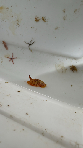
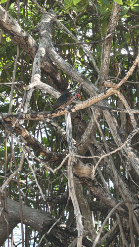
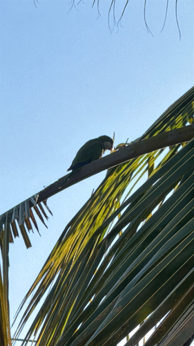
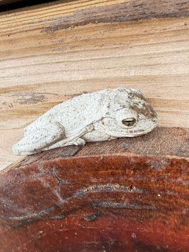
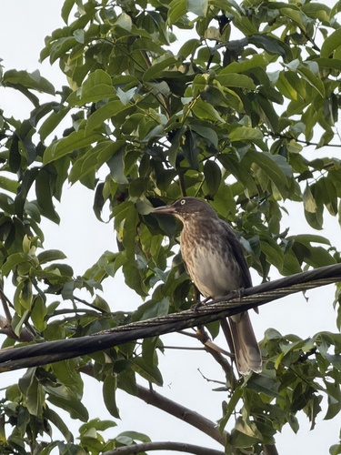
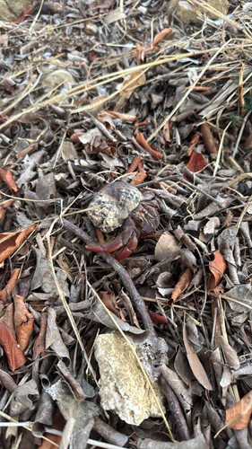
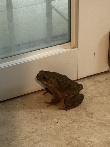
Research-grade observations from iNaturalist (within ~15 mi).
Nearest stream gauge
Live readings from USGS NWIS · measured 2026-09-24 22:45 UTC.
Events
Gallery
Sources
- • Wikipedia
- • US Census Bureau (ACS 5-year estimates)
- • NOAA National Weather Service
- • Wikidata
- • USGS NWIS (water data)
- • NCES via Urban Institute Education Data Portal
- • iNaturalist
- • Open-Meteo / sunrise-sunset.org
- • Wikipedia Pageviews API
- • Open Library