Browse / United States / Puerto Rico / Las Marías
Las Marías
Puerto Ricocomunidad

Las Marías
Total population
1,688
Median home value
$121,300
Bachelor's+
Median income
$28,105
Founded
1871
Demographic figures from US Census Bureau · ACS 5-year estimates. Overview below cites Wikipedia and may reference a different year.
City facts
Facts from Wikidata (CC0).
Overview
Las Marías is a town and municipality of Puerto Rico located north of Maricao; southeast of Añasco; south of San Sebastián; east of Mayagüez; and west of Lares. Las Marías is spread over 15 barrios and Las Marías Pueblo.
Read more on WikipediaHistory & geography
History
Las Marías was founded on July 1, 1871. Don Benito Recio y Moreno was the acting mayor during the founding of Las Marías. Puerto Rico was ceded by Spain in the aftermath of the Spanish–American War under the terms of the Treaty of Paris of 1898 and became a colony of the United States. It remains so today. In 1899, the United States Department of War conducted a census of Puerto Rico finding that the population of Las Marías was 11,279. On September 20, 2017 Hurricane Maria struck the island of Puerto Rico. In Las Marías, multiple landslides left highways covered in mud, trees and debris. In some areas of Las Marías there were more than 25 landslides per square mile due to the significant amount of rainfall and wind.
Geography
Las Marías is located on the central western side of Puerto Rico. According to the 2010 U.S. Census Bureau, the municipality has a total area of , of which is land and 0.11 square mile (0.28 km2) is water. Río Grande de Añasco (also known as Río Guacio) is located in Las Marías. Like all municipalities of Puerto Rico, Las Marías is subdivided into barrios. The municipal buildings, central square and large Catholic church are located near the center of the municipality, in a small barrio referred to as . #Alto Sano #Anones #Bucarabones #Buena Vista #Cerrote #Chamorro #Espino #Furnias #Las Marías barrio-pueblo #Maravilla Este #Maravilla Norte #Maravilla Sur #Naranjales #Palma Escrita #Purísima Concepción #Río Cañas Barrios (which are like minor civil divisions) are further subdivided into smaller areas called (sectors in English). The types of sectores may vary, from normally sector to urbanización to reparto to barriada to residencial, among others. (Special Communities of Puerto Rico) are marginalized communities whose citizens are experiencing a certain amount of social exclusion. A map shows these communities occur in nearly every municipality of the commonwealth. Of the 742 places that were on the list in 2014, the following 7 sectors were in Adjuntas: Sector La Josefa in Bucarabones, Sector Bryan in Cerróte, Sector Chamorro in Cerróte, Sector Palo Prieto in Palma Escrita, Sector Plato Indio in Río Cañas, Las Juanitas in Furnias, and Sector Santa Rosa in Furnias.
Excerpted from the corresponding Wikipedia article (CC BY-SA).
Demographics & economy
Race & ethnicity
Source: US Census Bureau — American Community Survey, 5-year estimates.
Geography
Coordinates & boundaries from the US Census TIGER/Line shapefiles.
Climate
Current forecast
Forecast for Las Marías, PR from NOAA NWS API.
Air quality
Industrial & pollution facilities
Natural hazard risk
Health (adults)
Walkability
Amenities nearby
Wildlife & biodiversity
Schools
Earthquake history
Photos
Sights & places nearby
Notable people from here


People born within ~10 km, from Wikidata (CC0). Click any name for their Wikipedia article.
Nearby places in Puerto Rico
Geography & sun
Elevation, sunrise/sunset and daylight from Open-Meteo. Solar climatology from NASA POWER.
Nearby airports
Public attention
Pageview totals from the Wikimedia Pageviews API.
Books about Las Marías

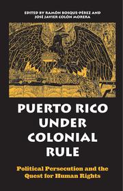

Search results from Open Library.
Recent natural events nearby
Ground air-quality sensors
Recently spotted species
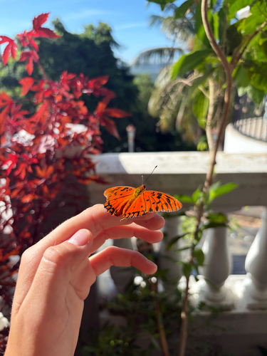
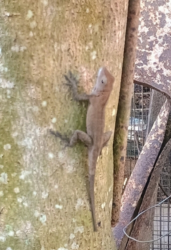
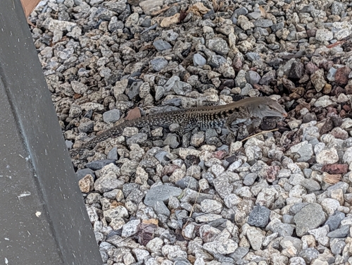
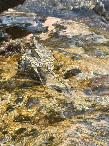
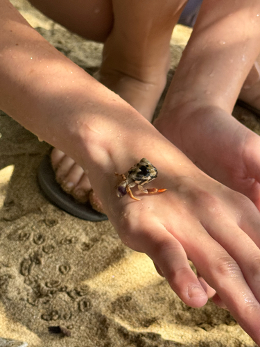
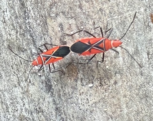
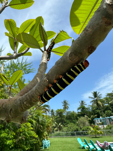
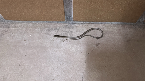
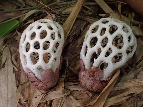
Research-grade observations from iNaturalist (within ~15 mi).
Nearest stream gauge
Live readings from USGS NWIS · measured 2026-09-26 18:00 UTC.
Events
Gallery
Sources
- • Wikipedia
- • US Census Bureau (ACS 5-year estimates)
- • NOAA National Weather Service
- • Wikidata
- • USGS NWIS (water data)
- • iNaturalist
- • Open-Meteo / sunrise-sunset.org
- • Wikipedia Pageviews API
- • Open Library