Browse / United States / Puerto Rico / Luyando
Luyando
Puerto Ricocomunidad
Total population
2,241
Median home value
$91,600
Bachelor's+
Median income
$16,827
Demographic figures from US Census Bureau · ACS 5-year estimates. Overview below cites Wikipedia and may reference a different year.
City facts
Overview
Luyando is a village that lies in Puerto Rico, United States. Its coordinates of 18.357°, -67.155° place it in the tropical zone of the northern hemisphere. Population sits at roughly 2,241 according to the open data we track. Based on its tropical position, residents likely encounter warm temperatures throughout the year with pronounced wet and dry seasons. Population density therefore averages about 534 per km², a moderate population density. Solar-resource estimates put the area at about 2,036 kWh/m² of solar irradiance per year with sunshine for roughly 80% of daylight hours. Total area is recorded as a compact 4.2 km². Detailed open-data panels follow, covering demographics, climate, geography, wildlife and nearby settlements.
Summary composed automatically from structured open data on this page. See our Terms for details.
History & geography
Demographics & economy
Race & ethnicity
Source: US Census Bureau — American Community Survey, 5-year estimates.
Geography
Coordinates & boundaries from the US Census TIGER/Line shapefiles.
Climate
Current forecast
Forecast for Luyando, PR from NOAA NWS API.
Air quality
Industrial & pollution facilities
Natural hazard risk
Health (adults)
Walkability
Amenities nearby
Wildlife & biodiversity
Schools
Largest nearby schools
- DR. CARLOS GONZALEZHigh · AGUADA · 858 students · 17.5:1 ratio
- PROFESORA JUANA ROSARIO CARRERO (ESCUELA INTERMEDIA NUEVA)Other · AGUADA · 691 students · 16.1:1 ratio
- JUAN LINO SANTIAGOElementary · AGUADA · 532 students · 14.8:1 ratio
- SU EPIFANIO ESTRADAElementary · AGUADA · 492 students · 12:1 ratio
- ELADIO TIRADO LOPEZHigh · AGUADA · 401 students · 13.4:1 ratio
- AQUILINO CABANElementary · AGUADA · 391 students · 12.6:1 ratio
- SU JUAN B. SOTOOther · AGUADA · 252 students · 10.1:1 ratio
- ANSELMO VILLARRUBIAElementary · AGUADA · 212 students · 10.6:1 ratio
Public K–12 schools within ~10 mi from Urban Institute Education Data Portal (NCES Common Core of Data, 2022).
Earthquake history
Photos
Sights & places nearby
Notable people from here


People born within ~10 km, from Wikidata (CC0). Click any name for their Wikipedia article.
Nearby places in Puerto Rico
- Voladoras4.8 mi away
- Espino5.9 mi away
- Lassalle6.4 mi away · pop. 415
- Rafael Hernández9.4 mi away
- San Sebastián10.6 mi away · pop. 9,038
- Quebradillas16.5 mi away
- Piedra Gorda18.4 mi away
- Cabo Rojo18.7 mi away · pop. 9,122
- Monte Grande18.7 mi away
- Puerto Real19.5 mi away · pop. 6,032
- Sabana Eneas19.7 mi away
- Alianza20.7 mi away · pop. 1,910
Geography & sun
Elevation, sunrise/sunset and daylight from Open-Meteo. Solar climatology from NASA POWER.
Nearby airports
Public attention
Books about this place
Recent natural events nearby
Ground air-quality sensors
Recently spotted species
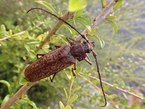
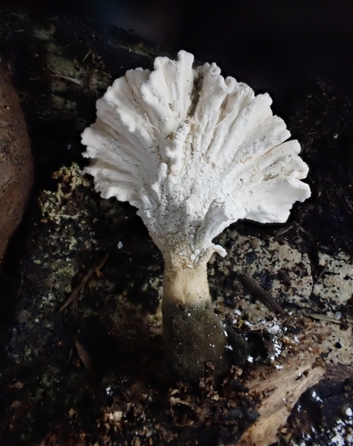
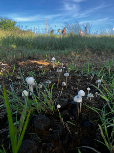
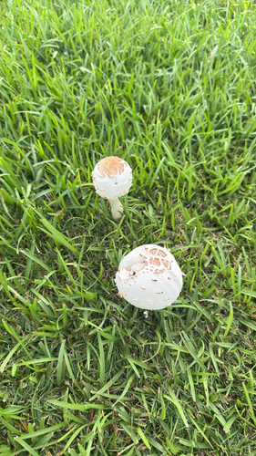
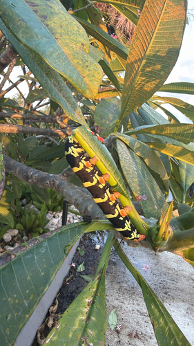
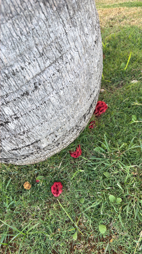
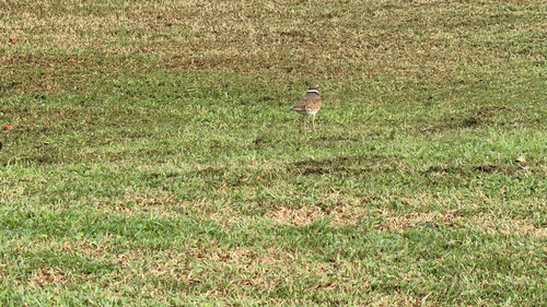
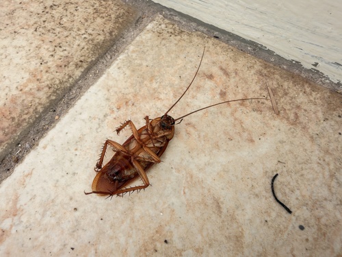
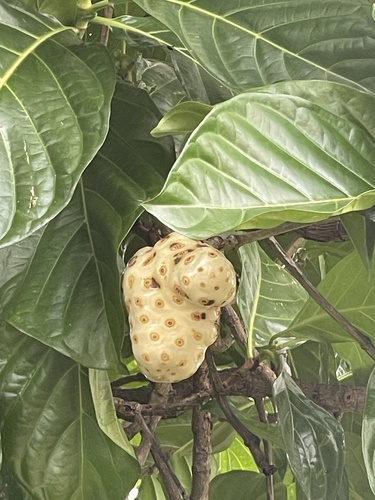
Research-grade observations from iNaturalist (within ~15 mi).
Nearest stream gauge
Live readings from USGS NWIS · measured 2026-10-14 05:45 UTC.
Events
Gallery
Sources
- • US Census Bureau (ACS 5-year estimates)
- • NOAA National Weather Service
- • Wikidata
- • USGS NWIS (water data)
- • NCES via Urban Institute Education Data Portal
- • iNaturalist
- • Open-Meteo / sunrise-sunset.org