Browse / United States / Puerto Rico / Toa Baja
Toa Baja
Puerto Ricozona urbana

Toa Baja
Total population
805
Median home value
$86,700
Bachelor's+
Median income
$22,340
Founded
1745
Demographic figures from US Census Bureau · ACS 5-year estimates. Overview below cites Wikipedia and may reference a different year.
City facts
Facts from Wikidata (CC0).
Overview
Toa Baja is a town and municipality of Puerto Rico located in the northern coast, north of Toa Alta and Bayamón; east of Dorado; and west of Cataño. Toa Baja is spread over five barrios, including Toa Baja Pueblo. Toa Baja is part of the San Juan-Caguas-Guaynabo Combined Statistical Area. Toa Baja is located approximately twenty-five minutes by car from San Juan and two hours from Ponce, in non rush hour traffic.
Read more on WikipediaHistory & geography
History
The region of what is now Toa Baja belonged to the Taíno region of Toa and Bayamón, which was located on the north coast of Puerto Rico. The regions were led by cacique Aramana and Majagua respectively. During the Spanish colonization, a farm was settled in the region around 1511 where Spanish settlers tried to learn from the Taínos how to grow fruits and vegetables. Some of the families who settled in the region were Marrero, Salgado, and Martínez, from the Canary Islands. In 1745, the town was officially organized, with the parish being built in 1749. It was dedicated to Nuestra Señora de la Concepción (Our Lady of the Immaculate Conception). It is said that in 1776 there were six cattle ranches and 12 sugar cane estates in the region. However, rises in the flow of nearby rivers were problematic for the population. Because of this, in 1841 a group of residents requested the settlement to be transferred to what is now Dorado. The municipality of Dorado was officially founded the next year. Puerto Rico was ceded by Spain in the aftermath of the Spanish–American War under the terms of the Treaty of Paris of 1898 and became a territory of the United States. In 1899, the United States conducted its first census of Puerto Rico, finding that the population of Toa Baja was 4,030. In 1902, the Legislative Assembly of Puerto Rico approved the consolidation of several municipalities, which resulted in the annexation of Toa Baja to the municipality of Bayamón. However, in 1905 the law was annulled, and Toa Baja regained its status as an independent town. The La Plata River rose more than 11 feet on September 20, 2017 as a result of Hurricane Maria and caused major infrastructure damage in Toa Baja. The four radar systems used by the Federal Aviation Administration in Puerto…
Geography
Toa Baja is located in the Northern Coastal Plains of the island, in the Northern Karst zone. It has an area of 24.0 miles2 (62.4 km2). The terrain consists mostly of alluvial deposits and clay-like surface as a result of the surrounding waters. The elevations range from 200 to 490 feet (60 to 150 meters) above sea level, with most of its highest parts located in the south. The rest of the area is mostly plain. The northern part of Toa Baja is characterized for its mangroves and marshes, while the southern part is classified as typical karst area. Homes in Toa Baja have historically been built a few feet above ground level to account for flooding. After Hurricane Maria, architects from the University of Puerto Rico and Polytechnic University of Puerto Rico provided residents of Toa Baja with ideas on how to mitigate flooding. There are three main rivers in Toa Baja: Río de la Plata, Río Cocal, and Río Hondo. La Plata is the longest river on the island and crosses Toa Baja in the east. Cocal is the natural boundary between Toa Baja and Dorado. Boca Vieja Bay () is a bay located in Toa Baja. Like all municipalities of Puerto Rico, Toa Baja is subdivided into barrios. The municipal buildings, central square and large Catholic church are located in a barrio referred to as . # Candelaria # Media Luna # Palo Seco # Sabana Seca # Toa Baja barrio-pueblo Although not a barrio, Levittown is the most populated community in the municipality of Toa Baja. Barrios (which are, in contemporary times, roughly comparable to minor civil divisions) are further subdivided into smaller areas called (sectors in English). The types of sectores may vary, from normally sector to urbanización to reparto to barriada to residencial, among others. (Special Communities of Puerto…
Excerpted from the corresponding Wikipedia article (CC BY-SA).
Demographics & economy
Race & ethnicity
Source: US Census Bureau — American Community Survey, 5-year estimates.
Geography
Coordinates & boundaries from the US Census TIGER/Line shapefiles.
Climate
Current forecast
Forecast for Toa Baja, PR from NOAA NWS API.
Air quality
Industrial & pollution facilities
Natural hazard risk
Health (adults)
Walkability
Amenities nearby
Wildlife & biodiversity
Schools
Earthquake history
Photos
Sights & places nearby
Notable people from here


People born within ~10 km, from Wikidata (CC0). Click any name for their Wikipedia article.
Nearby places in Puerto Rico
- Toaville0.8 mi away
- Villa Calma1.5 mi away
- Villas del Sol1.7 mi away
- Campanilla1.8 mi away · pop. 3,855
- Villa Quintero1.8 mi away
- Ingenio2 mi away · pop. 2,784
- Villa Esperanza2 mi away
- Brisas del Campanero2.1 mi away
- Campanillas2.6 mi away · pop. 645
- Candelaria Arenas2.9 mi away
- Río Lajas3.3 mi away · pop. 1,745
- El Veintiséis3.4 mi away
Geography & sun
Elevation, sunrise/sunset and daylight from Open-Meteo. Solar climatology from NASA POWER.
Nearby airports
Public attention
Pageview totals from the Wikimedia Pageviews API.
Books about Toa Baja


Search results from Open Library.
Recent natural events nearby
Ground air-quality sensors
Recently spotted species
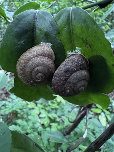
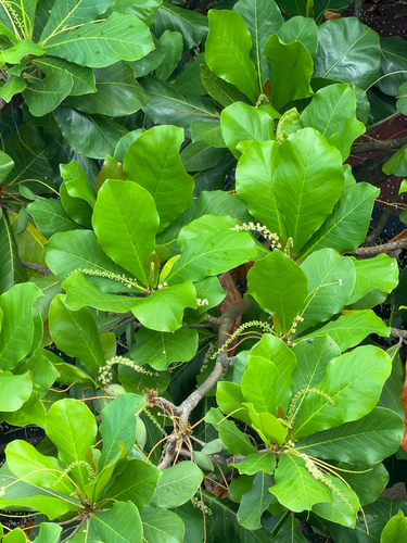
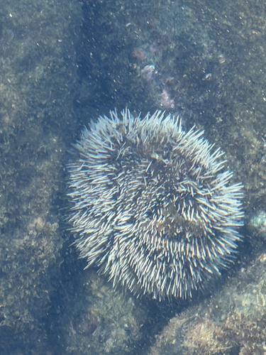
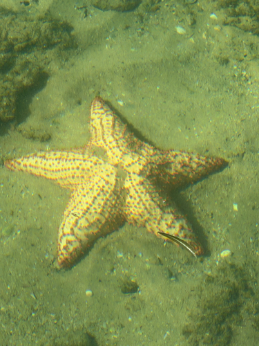
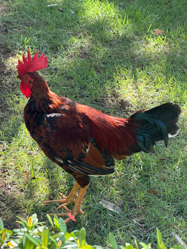
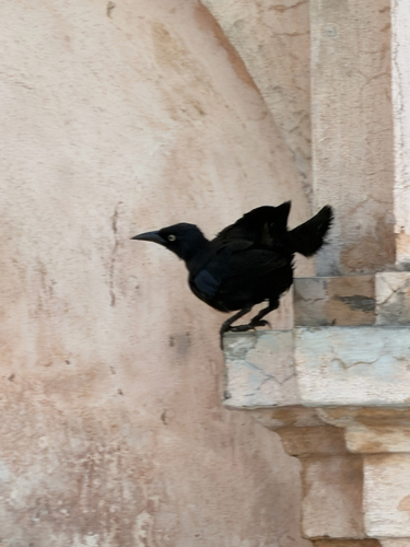
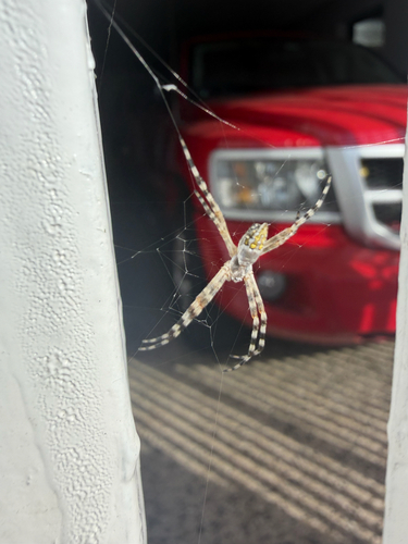
Research-grade observations from iNaturalist (within ~15 mi).
Nearest stream gauge
Live readings from USGS NWIS · measured 2026-09-26 18:30 UTC.
Events
Gallery
Sources
- • Wikipedia
- • US Census Bureau (ACS 5-year estimates)
- • NOAA National Weather Service
- • Wikidata
- • USGS NWIS (water data)
- • iNaturalist
- • Open-Meteo / sunrise-sunset.org
- • Wikipedia Pageviews API
- • Open Library