Browse / United States / Puerto Rico / Yauco
Yauco
Puerto Ricozona urbana

Yauco
Total population
14,630
Founded
1756
Demographic figures from US Census Bureau · ACS 5-year estimates. Overview below cites Wikipedia and may reference a different year.
City facts
Facts from Wikidata (CC0).
Overview
Yauco is a town and municipality in southern Puerto Rico. Although the downtown is inland, the municipality stretches to a southern coast facing the Caribbean Sea. Yauco is located south of Maricao, Lares and Adjuntas; east of Sabana Grande and Guánica; and west of Guayanilla. The municipality consists of 20 barrios and Yauco Pueblo. It is both a principal town of the Yauco Metropolitan Statistical Area and the Ponce-Yauco-Coamo Combined Statistical Area.
Read more on WikipediaHistory & geography
History
The Taino natives considered the area of Yauco the capital of Boriken and was governed by Agüeybana, the most powerful Taíno cacique (chief) in the island. All the other caciques were subject to and had to obey Agüeybaná, although they governed their own tribes. Upon Agüeybaná's death in 1510, his nephew, Agüeybaná II), became the most powerful cacique in the island. Agüeybaná II doubted the "godly" status the Spaniards were rumored to have. He came up with a plan to test these doubts: he and Urayoán (cacique of Añasco) sent some of their tribe members to lure a Spaniard named Diego Salcedo into a river and drown him. They watched over Salcedo's body to ensure that he did not resuscitate. Salcedo's death convinced Agüeybaná II and the rest of the Taíno that the Spaniards were not gods. They rebelled against the Spanish in 1511 but were defeated. In 1755, the Spanish settlers of the region built a small chapel and named it (Our Lady of the Holy Rosary). The settlers sent Fernando Pacheco as their representative to the Spanish Government, to request the establishment of a municipality, since they had satisfied one of the requirements for the establishment of a municipality, namely, to establish a place of worship. On 29 February 1756, the King of Spain granted the settlers their request and the town of Yauco was founded. Fernando Pacheco was named Lieutenant of War of the new town. From the mid-19th to the early 20th century, hundreds of Corsican, Italian, French, Portuguese, Irish, Scots, and German immigrants arrived in Puerto Rico, attracted by the Spanish Crown's offer of free land to Catholic white European settlers. They settled mostly in the south-central region. The island of Puerto Rico is somewhat similar in geography to the island of Corsica and appealed…
Geography
Yauco is a mountainous municipality located in the Cordillera Central and bisected by the Yauco River. Other rivers in the municipality are the Chiquito, Duey, Loco and Naranjo Rivers. Notable mountains in the area include Mount Membrillo, the highest named summit in the municipality and 9th highest peak in the island at 3,579 feet (1,090 m) of elevation, the Rodadero Peak and Cerro Curret. Like all municipalities of Puerto Rico, Yauco is subdivided into barrios. The municipal buildings, central square and large Catholic church are located in a barrio referred to as . #Aguas Blancas #Algarrobo #Almácigo Alto #Almácigo Bajo #Barina #Caimito #Collores #Diego Hernández #Duey #Frailes #Jácana #Naranjo #Quebradas #Ranchera #Río Prieto #Rubias #Sierra Alta #Susúa Alta #Susúa Baja #Vegas #Yauco barrio-pueblo Barrios (which are like minor civil divisions) and subbarrios, are further subdivided into smaller areas called (sectors in English). The types of sectores may vary, from normally sector to urbanización to reparto to barriada to residencial, among others. (Special Communities of Puerto Rico) are marginalized communities whose citizens are experiencing a certain amount of social exclusion. A map shows these communities occur in nearly every municipality of the commonwealth. Of the 742 places that were on the list in 2014, the following barrios, communities, sectors, or neighborhoods were in Yauco: Diego Hernández, Frailes, Ranchera, Sector Primitivo Irizarry in Quebradas, El Pozo, Sector Cantera, Pueblo Norte (El Cerro), and Río Prieto.
Excerpted from the corresponding Wikipedia article (CC BY-SA).
Demographics & economy
Geography
Coordinates & boundaries from the US Census TIGER/Line shapefiles.
Climate
Current forecast
Forecast for Yauco, PR from NOAA NWS API.
Air quality
Industrial & pollution facilities
Natural hazard risk
Health (adults)
Walkability
Amenities nearby
Wildlife & biodiversity
Schools
Largest nearby schools
- SUPERIOR OCUPACIONAL Y TECNICA DE YAUCOHigh · YAUCO · 1,086 students · 12.9:1 ratio
- ERNESTO RAMOS ANTONINI YAUCOHigh · YAUCO · 324 students · 7.9:1 ratio
- JOSE ONOFRE TORRESMiddle · YAUCO · 275 students · 11:1 ratio
- LOAIZA CORDERO DEL ROSARIOHigh · YAUCO · 270 students · 9.3:1 ratio
- SANTIAGO NEGRONIElementary · YAUCO · 261 students · 12.4:1 ratio
- PROFESORA LUISA MONSEGUR VELEZElementary · YAUCO · 255 students · 10.2:1 ratio
- ELVIRA VICENTEMiddle · YAUCO · 199 students · 10.5:1 ratio
- INES MARIA MENDOZA YAUCOElementary · YAUCO · 179 students · 9.4:1 ratio
Public K–12 schools within ~10 mi from Urban Institute Education Data Portal (NCES Common Core of Data, 2022).
Earthquake history
Photos
Sights & places nearby
Notable people from here


People born within ~10 km, from Wikidata (CC0). Click any name for their Wikipedia article.
Nearby places in Puerto Rico
- Lluveras2.7 mi away · pop. 1,553
- El Tumbao3.5 mi away
- María Antonia4.3 mi away · pop. 1,090
- Guayanilla4.8 mi away
- Liborio Negrón Torres5.3 mi away
- Magas Arriba6.3 mi away · pop. 947
- Sabana Grande7.5 mi away
- Santo Domingo8.2 mi away
- Peñuelas9.4 mi away · pop. 5,208
- Tallaboa Alta10.5 mi away
- Tallaboa10.6 mi away
- Adjuntas12.7 mi away · pop. 4,664
Geography & sun
Elevation, sunrise/sunset and daylight from Open-Meteo. Solar climatology from NASA POWER.
Nearby airports
Public attention
Pageview totals from the Wikimedia Pageviews API.
Books about Yauco

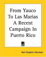
Search results from Open Library.
Recent natural events nearby
Ground air-quality sensors
Recently spotted species
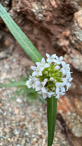
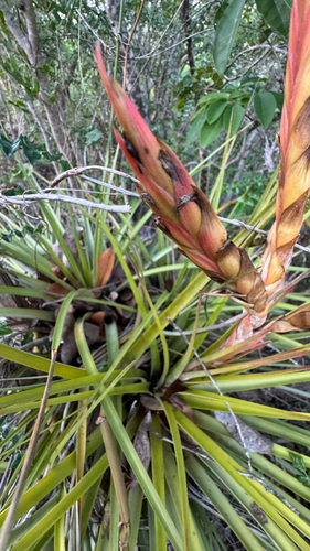
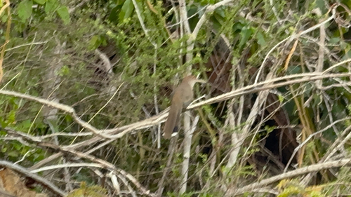
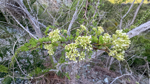
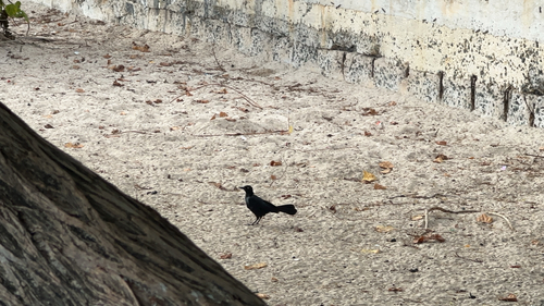
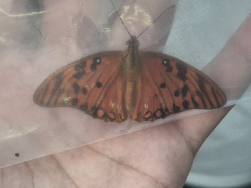
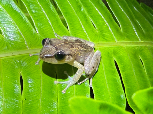
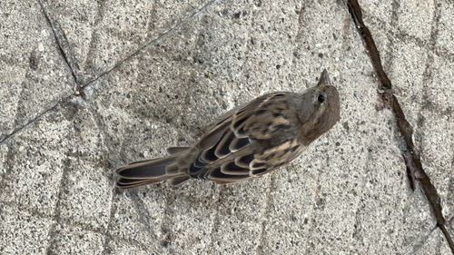
Research-grade observations from iNaturalist (within ~15 mi).
Nearest stream gauge
Live readings from USGS NWIS · measured 2026-10-13 02:45 UTC.
Events
Notable, recurring, and historical events associated with Yauco, sourced from Wikidata.
Source: Wikidata (CC0).
Gallery
Sources
- • Wikipedia
- • NOAA National Weather Service
- • Wikidata
- • USGS NWIS (water data)
- • NCES via Urban Institute Education Data Portal
- • iNaturalist
- • Open-Meteo / sunrise-sunset.org
- • Wikipedia Pageviews API
- • Open Library