Browse / Portugal / Santarém / Alcanhões
Alcanhões
Santarémtown
No image yet
Total population
1,344
Elevation63 m
Land area11.44 km²
Coordinates39.30°, -8.66°
Demographic figures from INE Portugal. Overview below cites Wikipedia and may reference a different year.
Loading additional data from public sources…0 / 11
CensusWikipediaWeatherPlacesPeopleEnvironmentHealth & SchoolsRelatedGeography & CultureLive MonitoringEvents & Gallery
0% completeCity facts
Elevation
63 m
Area
11.44 km²
Facts from Wikidata (CC0).
Overview
Alcanhões is a town and administrative parish in Santarém, Portugal. The population in 2011 was 1,469, in an area of 11.45 km².
Read more on WikipediaHistory & geography
Geography
Latitude
39.2958
Longitude
-8.6583
Water area
—
Coordinates & boundaries from the US Census TIGER/Line shapefiles.
Climate
Air quality
Walkability
Amenities nearby
Wildlife & biodiversity
Earthquake history
Photos
Sights & places nearby
Notable people from here
Nearby places in Santarém
- Gornja Motičina1417 mi away · pop. 27
- Valenovac1417.2 mi away · pop. 138
- Martinci Miholjački1417.5 mi away · pop. 23
- Donja Motičina1419.5 mi away · pop. 990
- Seona1419.5 mi away · pop. 317
- Vučjak Feričanački1419.7 mi away · pop. 226
- Gradac Našički1419.7 mi away · pop. 135
- Londžica1420 mi away · pop. 138
- Beljevina1420.3 mi away · pop. 595
- Podravska Moslavina1420.8 mi away · pop. 655
- Bokšić1421 mi away · pop. 340
- Zoljan1421.1 mi away · pop. 637
Geography & sun
Avg solar (kWh/m²/day)
4.64
Annual solar (kWh/m²)
1,695
Elevation, sunrise/sunset and daylight from Open-Meteo. Solar climatology from NASA POWER.
Nearby airports
Public attention
Wikipedia views (last 30 days)
19
Avg daily Wikipedia views
1
Attention level
Obscure
Pageview totals from the Wikimedia Pageviews API.
Books about this place
Recent natural events nearby
Ground air-quality sensors
Recently spotted species
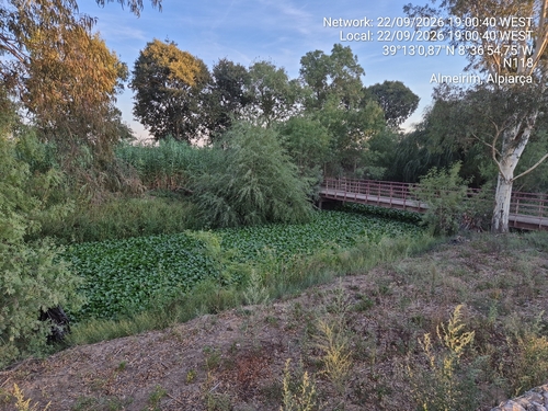
common water hyacinth
Pontederia crassipes
Seen 2026-09-22
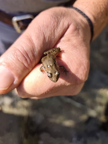
Iberian Painted Frog
Discoglossus galganoi
Seen 2026-09-22
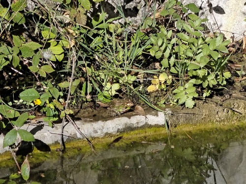
Iberian Green Frog
Pelophylax perezi
Seen 2026-09-22
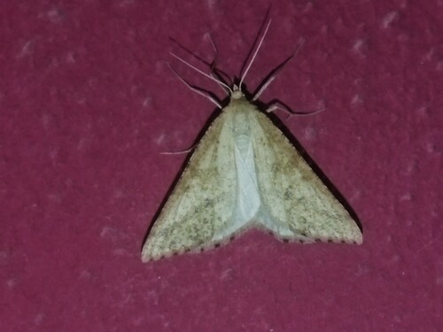
Yellow Belle
Aspitates ochrearia
Seen 2026-09-21
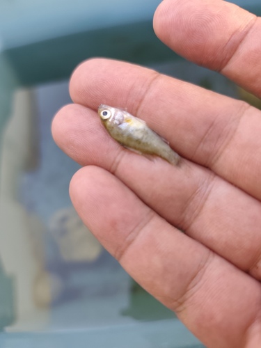
Pumpkinseed
Lepomis gibbosus
Seen 2026-09-21
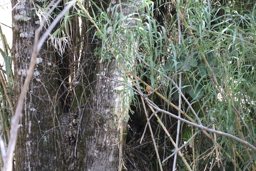
European Robin
Erithacus rubecula
Seen 2026-09-21
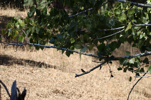
European Pied Flycatcher
Ficedula hypoleuca
Seen 2026-09-21
Research-grade observations from iNaturalist (within ~15 mi).
Events
Gallery
Official Identifiers
INE Portugal
- INE ID
- 141605
- Population (Wikidata)
- 1,344
- Wikidata
- Q2296664
INE ID via Wikidata P6324
Sources
- • Wikipedia
- • Wikidata
- • iNaturalist
- • Open-Meteo / sunrise-sunset.org
- • Wikipedia Pageviews API
- • Wikidata SPARQL (CC0) — population, area, elevation, inception, head of government, Commons image
- • INE Portugal — INE ID via Wikidata P6324