Browse / Portugal / Setúbal / Almada
Almada
Setúbalcity

Almada
Total population
16,718
Demographic figures from INE Portugal. Overview below cites Wikipedia and may reference a different year.
City facts
Sister cities
Facts from Wikidata (CC0).
Overview
Almada is a city and a municipality in Portugal, located on the southern margin of the Tagus River, within the Lisbon Metropolitan Area. The city is connected to Lisbon by the 25 de Abril Bridge. The population of the municipality in 2011 was 174,030, in an area of 70.21 km2. The urbanized core center, the city of Almada proper, had a population of 101,500 in 2001.
Read more on WikipediaHistory & geography
History
Human presence in the area of Almada dates to the end of the Neolithic period about 5000 years ago; archeological excavations performed in the municipality suggest that non-sedentary nomadic tribes may have occupied this location sporadically. The gradual development of settlement here made its greatest advance with the coming of Islamic civilization, when Muslims constructed a fort at Almada to defend and monitor the entrance to the Tagus River. Lying across the river from Lisbon, the area of Almada was a crossroads for a succession of various peoples who traded along the Tagus, including Phoenicians, Romans and Moors. As one of the principal Arab military bases along the southern margin of the Tagus, Almada was conquered by the Christian forces of Afonso I with the aid of English Crusaders in 1147. Alongside these Christians there lived many free Moors and Jews, under the royal protection guaranteed them by Afonso I in the charter of 1170 (which applied to all the former Moorish strongholds at Lisbon, Almada, Palmela and Alcácer). Almada received a foral from King Sancho I in 1190, although it came at a price: Miramolim Jacub-Abu-Jassuf, son of the Moorish leader who had laid siege to Santarém in 1171, was angered by the Christian victories and gathered a large army. He boldly attacked in the north, conquering Alcácer do Sal and Silves, while forcing the residents of Almada, Palmela and other towns along the Tagus into hiding. It would be some time after the death of Sancho before this region would be restored to Portuguese control. When this event occurred with the success of the Reconquista in driving the Muslims out, the Order of Santiago, a donatorio of Almada after 28 October 1186, had an important role in the territory (especially between the Tagus and Sado…
Geography
Although small in area, the city of Almada has a large population. It is bounded to the southeast by Seixal, to the south by Sesimbra, to the west by the Atlantic Ocean and to the north and northeast by the Tagus River. At Cacilhas, its main port, ferry boats transport visitors and local residents across to Lisbon daily, while the 25 de Abril Bridge, which spans the Tagus, is traversed by rail, commercial and personal vehicles daily. Almada is considered a transportation hub and a fast-growing suburb; its coast has several sandy beaches and panoramic vistas. Located in the district of Setúbal, the municipality includes two cities, Almada and Costa da Caparica, and is divided into five civil parishes: * Almada, Cova da Piedade, Pragal e Cacilhas * Caparica e Trafaria * Charneca de Caparica e Sobreda * Costa da Caparica * Laranjeiro e Feijó
Excerpted from the corresponding Wikipedia article (CC BY-SA).
Geography
Coordinates & boundaries from the US Census TIGER/Line shapefiles.
Climate
Air quality
Walkability
Amenities nearby
Wildlife & biodiversity
Most-observed species
- Eurasian BlackbirdTurdus merula Linnaeus, 1758 · Aves37,759
- House SparrowPasser domesticus (Linnaeus, 1758) · Aves35,248
- Rock PigeonColumba livia J.F.Gmelin, 1789 · Aves33,248
- Spotless StarlingSturnus unicolor Temminck, 1820 · Aves25,853
- Black RedstartPhoenicurus ochruros (S.G.Gmelin, 1774) · Aves23,819
- Eurasian Collared-DoveStreptopelia decaocto (Frivaldszky, 1838) · Aves21,972
- European SerinSerinus serinus (Linnaeus, 1766) · Aves18,664
- Common Wood-PigeonColumba palumbus Linnaeus, 1758 · Aves18,462
Citizen-science & research observations from the Global Biodiversity Information Facility (GBIF).
Earthquake history
Most recent
- M 3.5 — 2026-02-194 km ENE of Sobral de Monte Agraço, Portugal
- M 4.8 — 2025-02-171 km NE of Charneca de Caparica, Portugal
- M 5 — 2024-08-2656 km W of Sines, Portugal
- M 3.3 — 2021-03-180 km SSW of Santa Iria da Azóia, Portugal
- M 4.2 — 2017-08-175 km N of Arruda dos Vinhos, Portugal
- M 3.2 — 2015-07-182 km ESE of Colares, Portugal
Events from the USGS Earthquake Catalog (global) (FDSN Event Web Service).
Photos
Sights & places nearby
Notable people from here
Geography & sun
Elevation, sunrise/sunset and daylight from Open-Meteo. Solar climatology from NASA POWER.
Nearby airports
Public attention
Pageview totals from the Wikimedia Pageviews API.
Books about Almada
Search results from Open Library.
Recent natural events nearby
Ground air-quality sensors
Recently spotted species
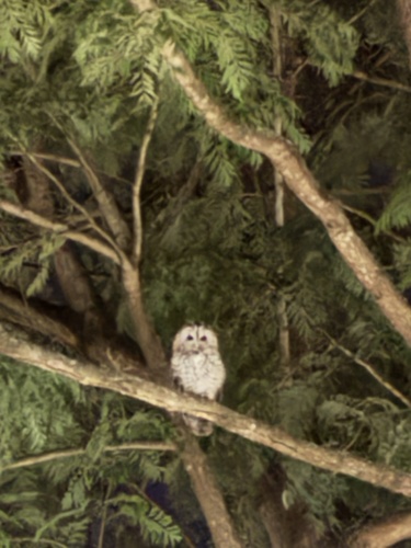
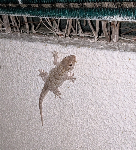
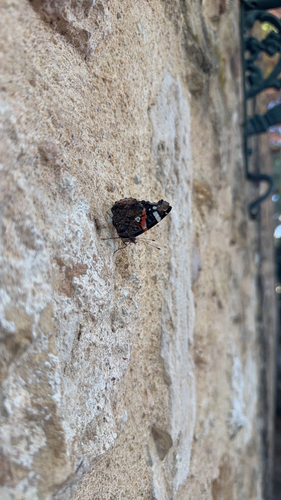
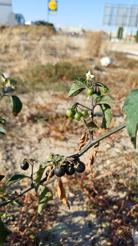
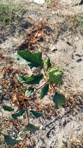
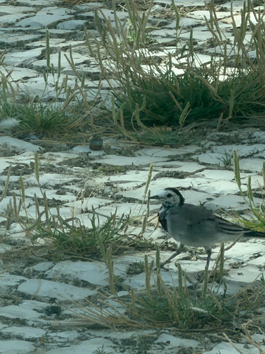
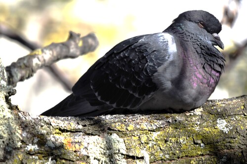
Research-grade observations from iNaturalist (within ~15 mi).
Events
Gallery
Official Identifiers
INE Portugal
- INE ID
- 1503
- Population (Wikidata)
- 177,238
- Wikidata
- Q328015
INE ID via Wikidata P6324
Sources
- • Wikipedia
- • Wikidata
- • USGS Earthquake Catalog (global feed)
- • GBIF (Global Biodiversity Information Facility)
- • iNaturalist
- • Open-Meteo / sunrise-sunset.org
- • Wikipedia Pageviews API
- • Open Library
- • Wikidata SPARQL (CC0) — population, area, elevation, inception, head of government, Commons image
- • INE Portugal — INE ID via Wikidata P6324